Home
States
Colorado
Connecticut
Maine
Massachusetts
New Hampshire
New York
Rhode Island
Utah
Vermont
View All
Lists
NE 4,000 Footers
NE 100 Highest
NH 4,000 Footers
NH 100 Highest
NH 52 With A View
NH Belknap Range
NH Ossipee 10
Links
Trail Conditions
Trip Log
Sunrises
Sunsets
About
|
North Twin Mountain
Bethlehem, NH, Franconia, NH
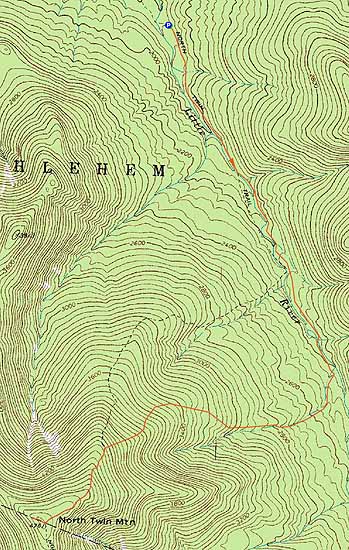
Trailheads, measurements, times, distances, and maps are all approximate and relative to the hike(s) as shown below.
The North Twin Trail
Route: North Twin Trail, herd path, North Twin Trail, view spur path, (North Twin Mountain)
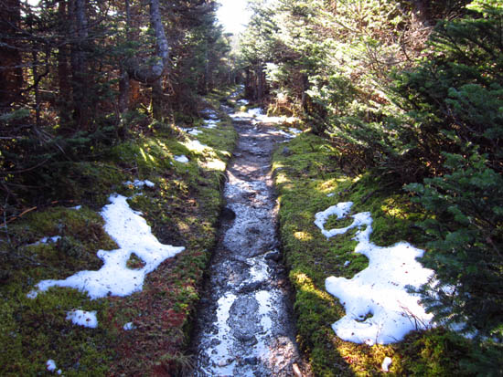
With the exception of some patches in the elevations, a snow free hike. Hazy views from the vistas due to relatively warm temperatures.
| Hike Ratings |
|
Getting To Trailhead: |
Easy |
| Destination: |
North Twin Mountain |
|
Length: |
Moderate |
|
Steepness: |
Difficult |
|
Navigation: |
Moderate |
|
Views: |
Excellent |
|
Crowds: |
Minimal |
|
| Hike Stats |
|
Date Hiked: |
Wednesday, November 9, 2011 |
| Parking Elevation: |
1,800' |
| Destination: |
North Twin Mountain |
| Time Elapsed: |
02:19 |
| Trailhead Elevation: |
1,800' |
| Summit Elevation: |
4,761' |
| Distance: |
4.3 miles |
| Vertical Gain: |
3,111' |
|
|
| Hike Time Elapsed: |
4:28 |
| Hike Vertical Gain: |
3,261' |
|
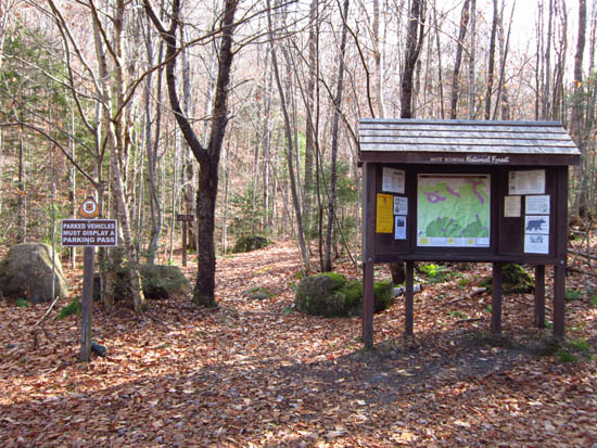
The North Twin Trail trailhead at the end of Haystack Road

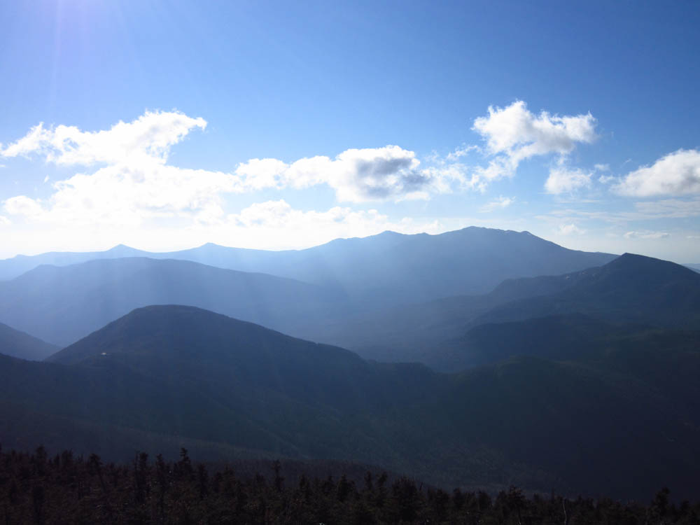
Looking at the Franconia Ridge, Owl's Head, Galehead, and Garfield from near the North Twin summit

Directions to trailhead: From Route 302, take Route 3 South. Almost immediately after the Entering White Mountain National Forest, take a left onto Haystack Road. The WMNF fee parking area is at the end of the road, and the North Twin Trail trailhead is at the back of the lot.
Back to North Twin Mountain Profile
|