Home
States
Colorado
Connecticut
Maine
Massachusetts
New Hampshire
New York
Rhode Island
Utah
Vermont
View All
Lists
NE 4,000 Footers
NE 100 Highest
NH 4,000 Footers
NH 100 Highest
NH 52 With A View
NH Belknap Range
NH Ossipee 10
Links
Trail Conditions
Trip Log
Sunrises
Sunsets
About
|
Oak Hill
Loudon, NH
Trailheads, measurements, times, distances, and maps are all approximate and relative to the hike(s) as shown below.
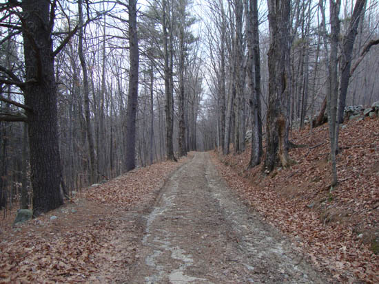
Looking up the road to Oak Hill
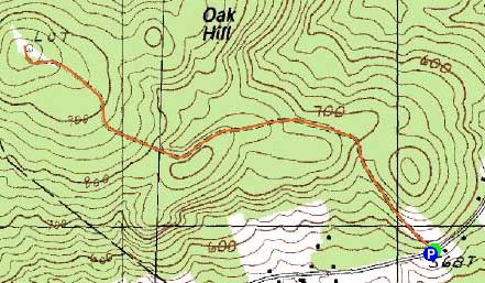
Route: Oak Hill Summit Road, (Oak Hill), Oak Hill Summit Road
On my way down to Concord I decided to do a quick jog up Oak Hill prior to dark.
While the gated road jog started off dry, I did encounter some blue ice patches. Nonetheless, I was able to get around these and continue up to the summit without any issues.
While it was cloudy with snow flurries, there were still decent views from the top deck of the fire tower.
During the descent, I started a herd of deer - unfortunately they were too far into the woods for a photo.
| Hike Ratings |
|
Getting To Trailhead: |
Easy |
| Destination: |
Oak Hill |
|
Length: |
Easy |
|
Steepness: |
Easy |
|
Navigation: |
Easy |
|
Views: |
Excellent |
|
Crowds: |
Minimal |
|
| Hike Stats |
|
Date Hiked: |
Wednesday, December 15, 2010 |
| Hike Commenced: |
3:41 PM |
| Parking Elevation: |
558' |
| Destination: |
Oak Hill |
| Ascent Commenced: |
3:41 PM |
| Summit Reached: |
3:54 PM |
| Time Elapsed: |
00:14 |
| Trailhead Elevation: |
568' |
| Summit Elevation: |
990' |
| Vertical Gain: |
442' |
|
|
| Hike Ended: |
4:12 PM |
| Hike Time Elapsed: |
00:31 |
| Hike Vertical Gain: |
462' |
|
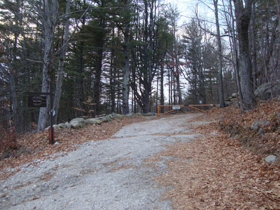
The trailhead on Oak Hill Road
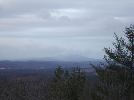
Looking at Kearsarge Mountain from the Oak Hill fire tower

Directions to trailhead: From I-93 North in Concord, take Exit 16, taking a right off the ramp. At the subsequent junction, go straight onto Shawmut Street, which becomes Oak Hill Road. The gated Oak Hill Summit Road will eventually be on the left side of the road, with some room to park on the right shoulder of the road.
Back to Oak Hill Profile
|

