Home
States
Colorado
Connecticut
Maine
Massachusetts
New Hampshire
New York
Rhode Island
Utah
Vermont
View All
Lists
NE 4,000 Footers
NE 100 Highest
NH 4,000 Footers
NH 100 Highest
NH 52 With A View
NH Belknap Range
NH Ossipee 10
Links
Trail Conditions
Trip Log
Sunrises
Sunsets
About
|
Oak Hill
Loudon, NH
Trailheads, measurements, times, distances, and maps are all approximate and relative to the hike(s) as shown below.
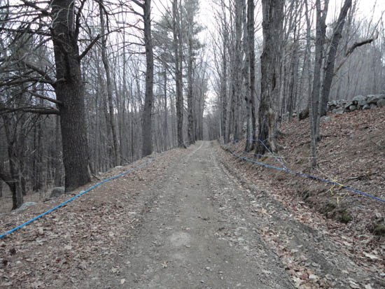
Looking up the road to Oak Hill
Route: Oak Hill Summit Road, (Oak Hill), Oak Hill Summit Road
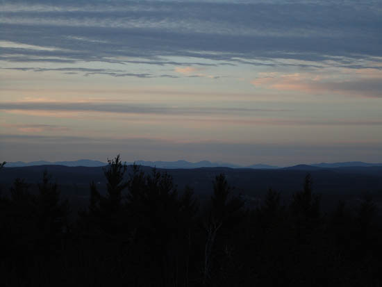
A snow free jog. Saw some sunset colors, but missed the real light show about 10 minutes after I left the summit.
| Hike Ratings |
|
Getting To Trailhead: |
Easy |
| Destination: |
Oak Hill |
|
Length: |
Easy |
|
Steepness: |
Easy |
|
Navigation: |
Easy |
|
Views: |
Excellent |
|
Crowds: |
Minimal |
|
| Hike Stats |
|
Date Hiked: |
Tuesday, April 12, 2011 |
| Parking Elevation: |
558' |
| Destination: |
Oak Hill |
| Time Elapsed: |
00:12 |
| Trailhead Elevation: |
568' |
| Summit Elevation: |
990' |
| Vertical Gain: |
442' |
|
|
| Hike Time Elapsed: |
00:35 |
| Hike Vertical Gain: |
462' |
|
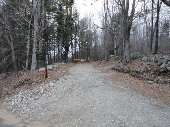
The trailhead on Oak Hill Road
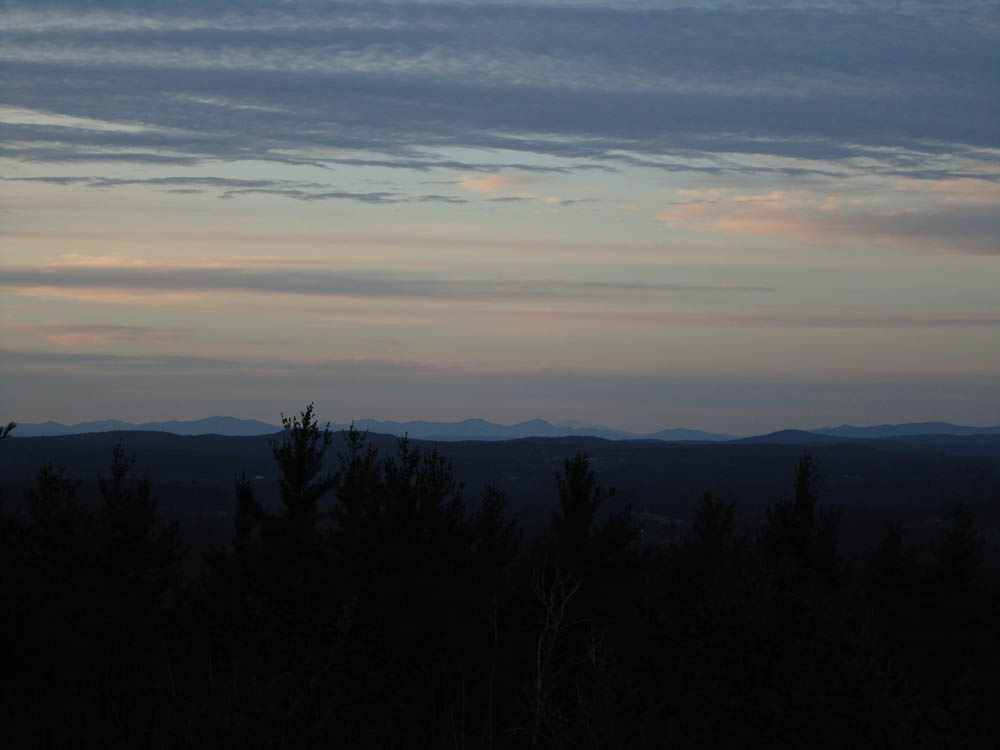
The White Mountains as seen from the Oak Hill fire tower
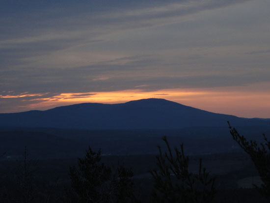
Sunset colors around Mt. Kearsarge as seen from the Oak Hill fire tower
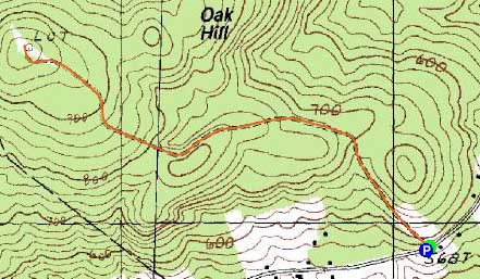

Directions to trailhead: From I-93 North in Concord, take Exit 16, taking a right off the ramp. At the subsequent junction, go straight onto Shawmut Street, which becomes Oak Hill Road. The gated Oak Hill Summit Road will eventually be on the left side of the road, with some room to park on the right shoulder of the road.
Back to Oak Hill Profile
|