Home
States
Colorado
Connecticut
Maine
Massachusetts
New Hampshire
New York
Rhode Island
Utah
Vermont
View All
Lists
NE 4,000 Footers
NE 100 Highest
NH 4,000 Footers
NH 100 Highest
NH 52 With A View
NH Belknap Range
NH Ossipee 10
Links
Trail Conditions
Trip Log
Sunrises
Sunsets
About
|
Ore Hill
Warren, NH
Trailheads, measurements, times, distances, and maps are all approximate and relative to the hike(s) as shown below.

The Ore Hill Trail
Route: Ore Hill Trail
Hiked in from the south to the Ore Hill highpoint. Trail was mostly dry and in good shape. A few areas look like they could be a little muddy, but not in this weather. Trail was never particularly steep, but plenty of ups and downs. Decent footbed for jogging, though a little rooty in some places. Quite a few thru hikers planning to stay the night at site of the former shelter.
| Hike Ratings |
|
Getting To Trailhead: |
Easy |
| Destination: |
Ore Hill |
|
Length: |
Easy |
|
Steepness: |
Easy |
|
Navigation: |
Easy |
|
Views: |
Minimal |
|
Crowds: |
Minimal |
|
| Hike Stats |
|
Date Hiked: |
Thursday, July 23, 2012 |
| Parking Elevation: |
1,420' |
| Destination: |
Ore Hill |
| Time Elapsed: |
01:33 |
| Trailhead Elevation: |
1,420' |
| Summit Elevation: |
1,860' |
| Vertical Gain: |
740' |
|
|
| Hike Time Elapsed: |
02:14 |
| Hike Vertical Gain: |
1,040' |
|

The Ore Hill Trail trailhead on Camp Moonshine Road

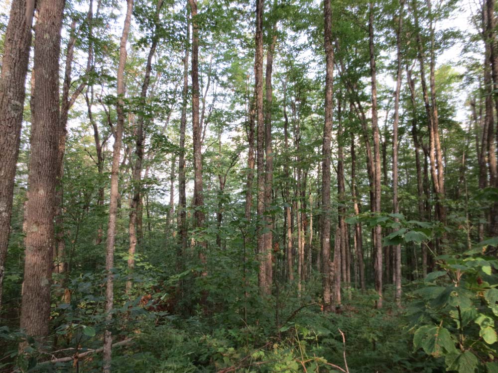
Not much to see from the top of Ore Hill
Directions to trailhead: From Route 25 in Wentworth, take Route 25A West. Take a right onto Camp Moonshine Road. The Appalachian Trail crossing will eventually be after Atwell Hill Road, with a small dirt pullover. The Ore Hill Trail will be on the right side of the road.
Back to Ore Hill Profile
|