Home
States
Colorado
Connecticut
Maine
Massachusetts
New Hampshire
New York
Rhode Island
Utah
Vermont
View All
Lists
NE 4,000 Footers
NE 100 Highest
NH 4,000 Footers
NH 100 Highest
NH 52 With A View
NH Belknap Range
NH Ossipee 10
Links
Trail Conditions
Trip Log
Sunrises
Sunsets
About
|
Owl's Head
Lincoln, NH, Franconia, NH
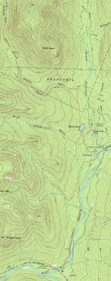
Trailheads, measurements, times, distances, and maps are all approximate and relative to the hike(s) as shown below.
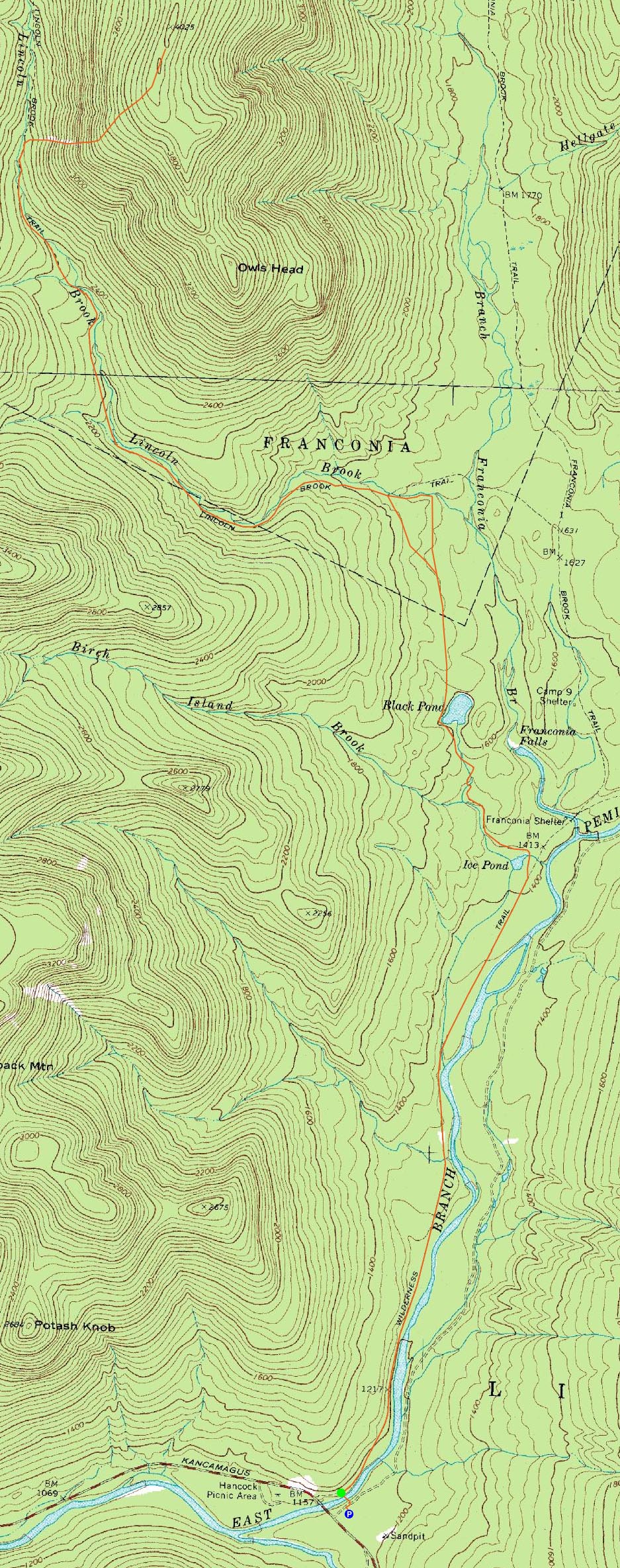
Looking down the Owl's Head slide
Route: Lincoln Woods Trail, Black Pond Trail, bushwhack, Lincoln Brook Trail, Owl's Head Path, (formerly recognized Owl's Head summit), Owl's Head Path, Lincoln Brook Trail, bushwhack, Black Pond Trail, Lincoln Woods Trail
Owl's Head had been sitting in the back of my mind for over a year. 16-18 miles round trip, not much in way of views, I wasn't exactly looking forward to it. I had hoped to summit it last spring, however a knee injury ended those plans.
With a halfway decent forecast, halfway decent conditions report, and having done a few 10 mile hikes in recent weeks, I decided to give it a go. While I was up early, I didn't arrive at the trailhead until 7:15ish. Nonetheless, my pack was ready to go and I was able to make decent time to Black Pond. While I had planned on doing a magnetic north bushwack, I quickly came across the 'bootleg' path, a series of orange blazes leading somewhat north. I ended up staying within sight of these, figuring it'd bring me close to where I otherwise would have ended up. As I reached the end of it, I quickly remembered the negative aspects of it - it's a bit muddy and it isn't direct. In fact, it dumps you out below the water crossing, resulting in a cruddy shore-wack.
After eventually ending up on the Lincoln Brook Trail, I reached the first of three sizable water crossings. I was able to get across this one with my shoes on (though I did take my time to do some fancy foot work after throwing my backpack across to the other side), but the last two were a challenge. Solution? Take off shoes, stuff socks into them, hurl them like footballs to the other side, then wade.
The Owl's Head Path was easily found, marked by two cairns. The slide was a bit steep (I'd compare it to the south slide on Tripyramid). On the way up, I ended up on some obscure herd path along the upper portion of the slide. Above that, I was able to rejoin the old trail, and continue to the top of the ridge (which was still pretty much wall to wall snow). Dropping my pack, I headed north and stumbled upon a cairn, a small rock bench, and a Owl's Head sign. Since I was only expecting to find some nails sticking out of a tree at the 'old' summit, I started to wonder if I was on the 'new' summit. I continued north for a few minutes just to be sure, but didn't see anything through the trees that seemed dramatically taller. I would later discover that indeed there was something taller, but I don't anticipate rushing back out there anytime soon.
While there are some views from the slide, there's little to see on the ridge. Near the old summit, some blowdowns resulted in an obscured view of the Franconia Ridge - not terrible, but not worth a 16+ mile hike for me at this point.
Since there were dark clouds moving in, I decided to head out and try to get down the slide and across the water crossings as quickly as I could. Nothing more than a sprinkle ended up falling, but nonetheless I was glad to be well on my way back.
I finally stopped at the water crossing that I was avoiding via the bushwacks and had some lunch. With the bugs starting to catch up to me, I decided to get moving, and started a southernly bushwack. I quickly modified my plans once I stepped into mud - to heck with the compass, I decided to just start heading slightly downhill, in a southeasternly direction. Soon enough, I saw the orange blazes in the distance, and decided to roughly follow them back to the pond. From there, it was a seemingly long trail walk back to the parking lot. Glad it's done. While I could probably enjoy this hike a lot if I lived in an urban area, I don't, so it's just a long hike for a notch in a list.
| Hike Ratings |
|
Getting To Trailhead: |
Easy |
| Destination: |
Owl's Head |
|
Length: |
Very Difficult |
|
Steepness: |
Very Difficult |
|
Navigation: |
Difficult |
|
Views: |
Minimal |
|
Crowds: |
Moderate |
|
| Hike Stats |
|
Date Hiked: |
Saturday, May 24, 2008 |
| Hike Commenced: |
7:17 AM |
| Parking Elevation: |
1,170' |
| Destination: |
Owl's Head |
| Ascent Commenced: |
7:18 AM |
| Summit Reached: |
11:20 AM |
| Time Elapsed: |
04:02 |
| Trailhead Elevation: |
1,170' |
| Summit Elevation: |
4,020' |
| Vertical Gain: |
3,050' |
|
|
| Hike Ended: |
3:41 PM |
| Hike Time Elapsed: |
08:24 |
| Hike Vertical Gain: |
3,260' |
|
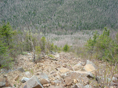
The Lincoln Woods Trail trailhead
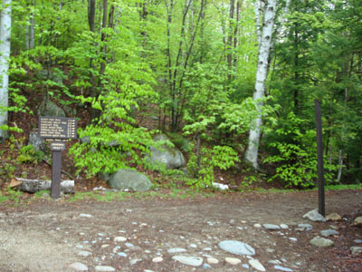
A wet trillium on the Black Pond Trail
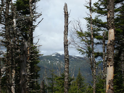
Looking at the Franconia Ridge from the obstructed view point near the Owl's Head summit

Directions to trailhead: Take Route 112 East from I-93 past Loon to the Lincoln Woods WMNF fee parking area (left side of road).
Back to Owl's Head Profile
|