Home
States
Colorado
Connecticut
Maine
Massachusetts
New Hampshire
New York
Rhode Island
Utah
Vermont
View All
Lists
NE 4,000 Footers
NE 100 Highest
NH 4,000 Footers
NH 100 Highest
NH 52 With A View
NH Belknap Range
NH Ossipee 10
Links
Trail Conditions
Trip Log
Sunrises
Sunsets
About
|
Owl's Head
Lincoln, NH, Franconia, NH
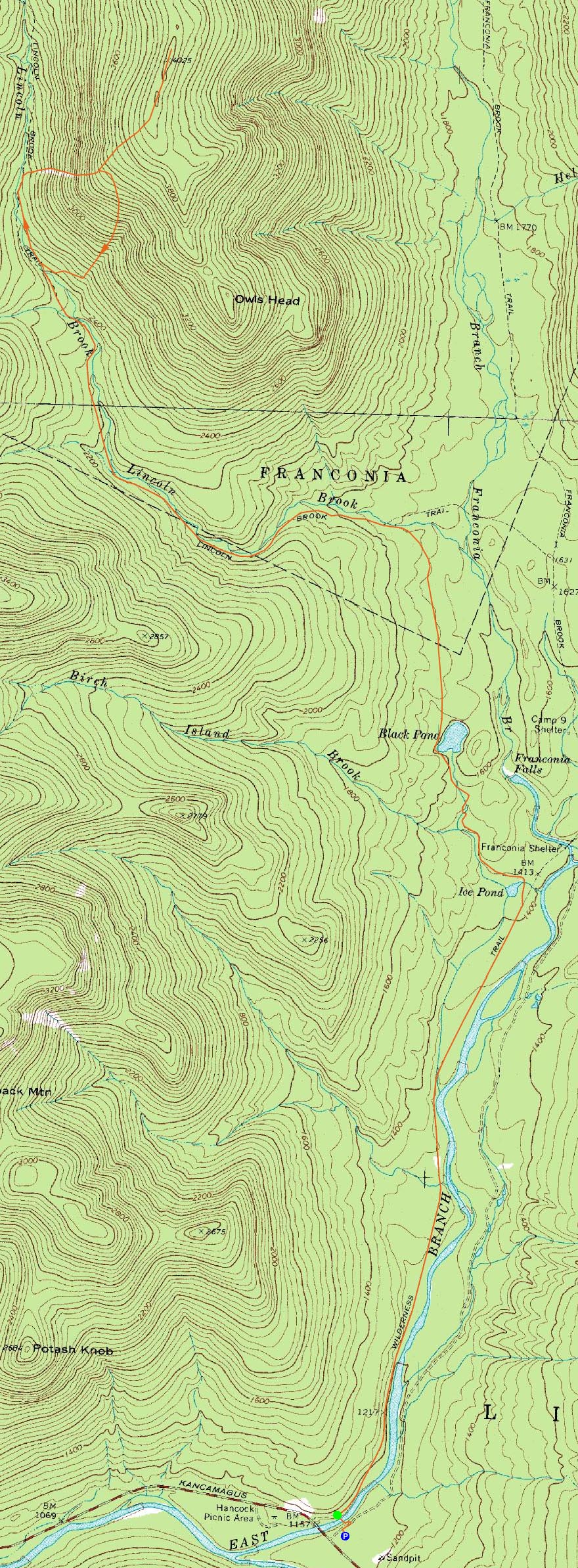
Trailheads, measurements, times, distances, and maps are all approximate and relative to the hike(s) as shown below.
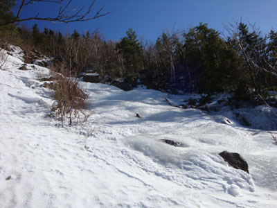
Looking up the Owl's Head slide
Route: Lincoln Woods Trail, Black Pond Trail, bushwhack, Lincoln Brook Trail, Owl's Head Path, (formerly recognized Owl's Head summit), bushwack, (Owl's Head), buswhack, Owl's Head Path, bushwhack, Lincoln Brook Trail, bushwhack, Black Pond Trail, Lincoln Woods Trail
It was time for Owl's Head again. Though I wasn't particularly looking forward to the long slog to the peak, it seemed like it was a good fit considering the higher summits wind forecast.
Arriving at Lincoln Woods, we were soon on our way on the Lincoln Woods Trail. While this trail isn't particularly compelling, the blue skies and nice views made it go by nicely. Black Pond also had nice views.
The bushwhack from Black Pond to the Lincoln Brook Trail, while not ideally direct, was nonetheless an easy trek due to being well packed out. The Lincoln Brook Trail on the other hand seemed to drag on, though the water crossings were fortunately bridged and easy.
After passing the third and final water crossing via this route, we kept our eyes out for a possible broken out buswhack route. No such luck. Thus, we continued to the Owl's Head Path.
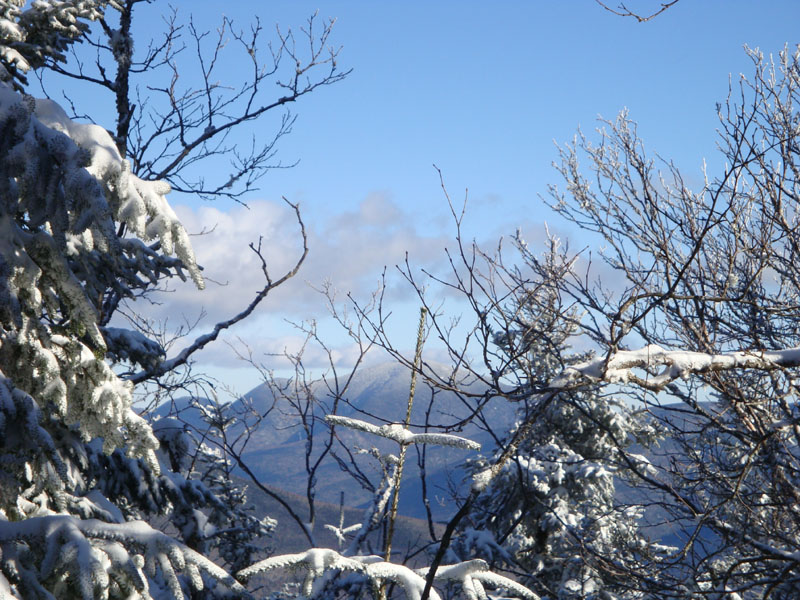
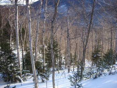
Since I had no interest in going up the slide proper due to the ice that was sure to be there, we stayed in the woods on the north side of it, popping out near the top and thus avoiding the very dangerous conditions. Above there, we continued to ascend on our snowshoes to the 'old summit' and then the actual highpoint. While the 'new summit' does have better views than the 'old summit,' the viewpoints are nonetheless obscured a bit by trees. Nonetheless, we were able to see some of the Franconias and Carrigain from various spots adjacent to the summit.
Not wanting to head back down the steep area next to the slide, we climbed uphill a bit from the top of the straightaway and headed toward an area known as the 'Brutus Bushwhack.' Reaching a beautiful birch glade, we pushed our way down toward the brook and back to the Lincoln Brook Trail.
The long slog out was increasingly vexing, as the Black Pond bushwhack and then Lincoln Woods Trail seemed to drag on forever. Finally seeing the sign at the end of the trail, we were quite happy to be back at the parking lot!
| Hike Ratings |
|
Getting To Trailhead: |
Easy |
| Destination: |
Owl's Head |
|
Length: |
Very Difficult |
|
Steepness: |
Very Difficult |
|
Navigation: |
Difficult |
|
Views: |
Minimal |
|
Crowds: |
Moderate |
|
| Hike Stats |
|
Date Hiked: |
Saturday, February 14, 2009 |
| Hike Commenced: |
8:32 AM |
| Parking Elevation: |
1,170' |
| Destination: |
Owl's Head |
| Ascent Commenced: |
8:39 AM |
| Summit Reached: |
2:33 PM |
| Time Elapsed: |
05:54 |
| Trailhead Elevation: |
1,170' |
| Summit Elevation: |
4,025' |
| Vertical Gain: |
3,075' |
|
|
| Hike Ended: |
7:28 PM |
| Hike Time Elapsed: |
10:56 |
| Hike Vertical Gain: |
3,360' |
|
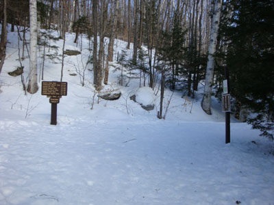
The Lincoln Woods Trail trailhead
Looking down the birch glade bushwhack

Looking at Mt. Carrigain from near the summit of Owl's Head
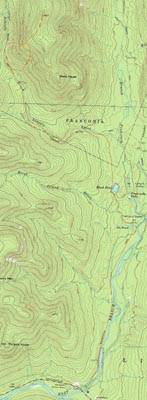

Directions to trailhead: Take Route 112 East from I-93 past Loon to the Lincoln Woods WMNF fee parking area (left side of road).
Back to Owl's Head Profile
|