Home
States
Colorado
Connecticut
Maine
Massachusetts
New Hampshire
New York
Rhode Island
Utah
Vermont
View All
Lists
NE 4,000 Footers
NE 100 Highest
NH 4,000 Footers
NH 100 Highest
NH 52 With A View
NH Belknap Range
NH Ossipee 10
Links
Trail Conditions
Trip Log
Sunrises
Sunsets
About
|
Owl's Head
Lincoln, NH, Franconia, NH
Trailheads, measurements, times, distances, and maps are all approximate and relative to the hike(s) as shown below.
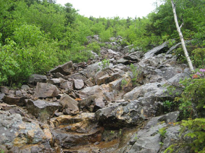
Looking up the wet Owl's Head slide
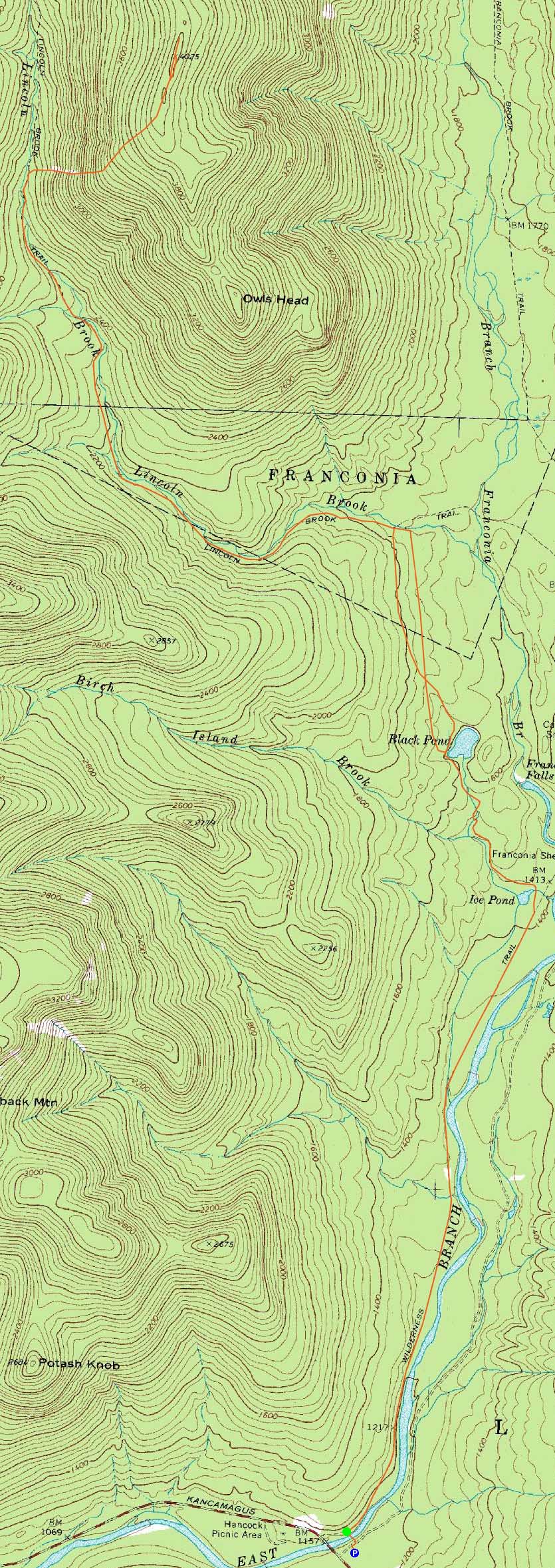
Route: Lincoln Woods Trail, Black Pond Trail, bushwhack, Lincoln Brook Trail, Owl's Head Path, (formerly recognized Owl's Head summit), bushwack, (Owl's Head), buswhack, Owl's Head Path, bushwhack, Lincoln Brook Trail, bushwhack, Black Pond Trail, Lincoln Woods Trail
First day of summer, wet forecast, why not go to Owl's Head?
The first part of the hike on the Lincoln Woods Trail was bland - not a person to be seen either. The Black Pond Trail was a bit more interesting - reaching the pond, I climbed up the embankment to the west, then started heading roughly due north. A much more dry route than the spray painted 'bushwhack' route, I still veered off course a bit at the end, winding up about 4 minutes east of where I wanted to be.
While the Lincoln Brook Trail was a bit wet, it wasn't overly bad. The three water crossings, though a bit high, were nonetheless doable without taking off my boots. The Owl's Head slide was rather wet, making things a bit slow. Reaching the top of the ridge, I dropped my pack and made my way to the 'old summit' and then to the 'new summit.'
The slide was even trickier for the descent, as I was trying to navigate my way without slipping. Nonetheless, I made it back to the Lincoln Brook Trail and commenced the long walk back out. For the return bushwhack, I started at the water crossing on the Lincoln Brook Trail, followed a herd path to an old road bed, then continued roughly due south. Amazingly, I had a gut instinct at one point to start cutting to the southeast. Following this instinct, I ended up at the northwest corner of the Black Pond - not bad luck!
The walk out on the Lincoln Woods Trail was a bit monotonous, but fortunately dry and not too buggy.
| Hike Ratings |
|
Getting To Trailhead: |
Easy |
| Destination: |
Owl's Head |
|
Length: |
Very Difficult |
|
Steepness: |
Very Difficult |
|
Navigation: |
Difficult |
|
Views: |
Minimal |
|
Crowds: |
Minimal |
|
| Hike Stats |
|
Date Hiked: |
Sunday, June 21, 2009 |
| Hike Commenced: |
7:29 AM |
| Parking Elevation: |
1,170' |
| Destination: |
Owl's Head |
| Ascent Commenced: |
7:31 AM |
| Summit Reached: |
11:17 AM |
| Time Elapsed: |
03:46 |
| Trailhead Elevation: |
1,170' |
| Summit Elevation: |
4,025' |
| Vertical Gain: |
3,075' |
|
|
| Hike Ended: |
3:11 PM |
| Hike Time Elapsed: |
7:42 |
| Hike Vertical Gain: |
3,310' |
|
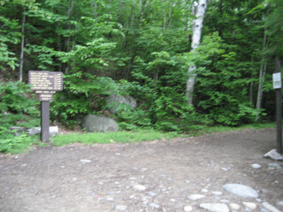
The Lincoln Woods Trail trailhead
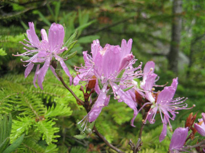
Rhodora Rhododendron on the Owl's Head slide
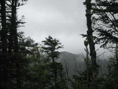
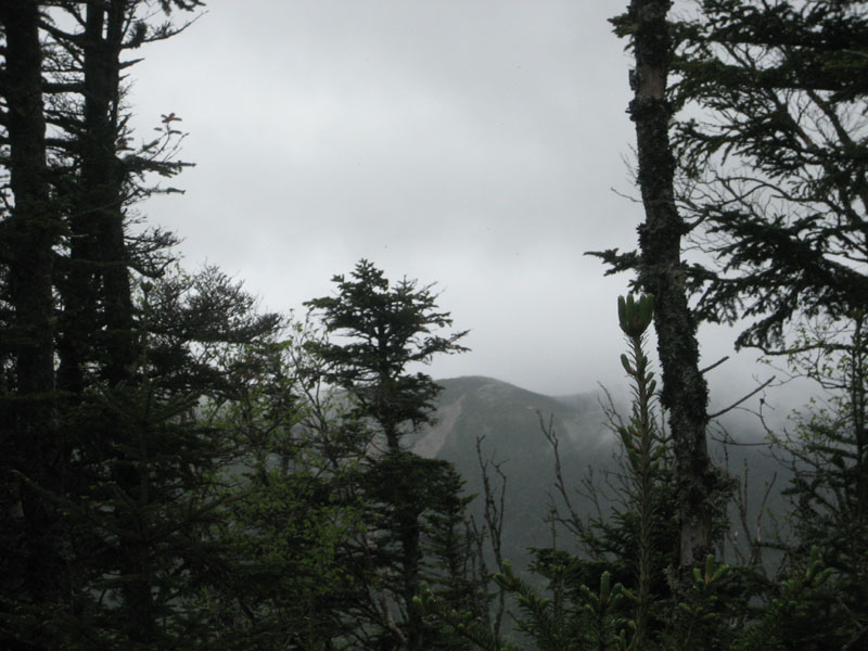
Looking at the Franconia Ridge from near the 'old summit' of Owl's Head

Directions to trailhead: Take Route 112 East from I-93 past Loon to the Lincoln Woods WMNF fee parking area (left side of road).
Back to Owl's Head Profile
|