Home
States
Colorado
Connecticut
Maine
Massachusetts
New Hampshire
New York
Rhode Island
Utah
Vermont
View All
Lists
NE 4,000 Footers
NE 100 Highest
NH 4,000 Footers
NH 100 Highest
NH 52 With A View
NH Belknap Range
NH Ossipee 10
Links
Trail Conditions
Trip Log
Sunrises
Sunsets
About
|
Owl's Head
Lincoln, NH, Franconia, NH
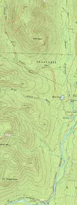
Trailheads, measurements, times, distances, and maps are all approximate and relative to the hike(s) as shown below.
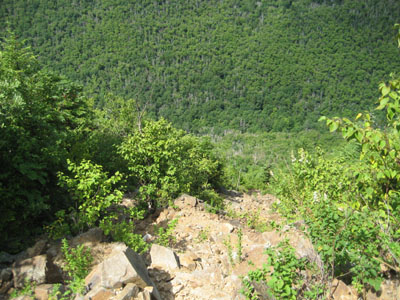
Looking down the Owl's Head slide
Route: Lincoln Woods Trail, Black Pond Trail, bushwhack, Lincoln Brook Trail, Owl's Head Path, (formerly recognized Owl's Head summit), bushwack, (Owl's Head), buswhack, Owl's Head Path, bushwhack, Lincoln Brook Trail, bushwhack, Black Pond Trail, Lincoln Woods Trail
Though I dread Owl's Head, it was time to visit again. While the water crossings likely wouldn't be an issue, we elected to use the Black Pond bushwhack to save some time. On the way out, I went a bit too high on the bushwhack and ended up about two minutes west of the water crossing, in some spruce.
After three easy water crossings, we were soon on the Owl's Head Path, smelling the dead moose. Since the moose was pretty much blocking the path, we bushwhacked around it, rejoining the path just below the slide.
The ridge was quite busy. After reaching the old and new summits, we had some lunch. For the descent, we decided to do the 'Brutus Bushwhack.' Starting perhaps a bit too high, we pushed through some spruce prior to reaching the nice open birchglade. After joining up with the logging road, we were soon back on the Lincoln Brook Trail.
On the bushwhack back to Black Pond, I bailed downhill a bit early, ending up on the mucky bootleg path a few minutes before reaching the pond. The rain started as we worked our way back down the ever exciting Lincoln Woods Trail.
| Hike Ratings |
|
Getting To Trailhead: |
Easy |
| Destination: |
Owl's Head |
|
Length: |
Very Difficult |
|
Steepness: |
Very Difficult |
|
Navigation: |
Difficult |
|
Views: |
Minimal |
|
Crowds: |
Heavy |
|
| Hike Stats |
|
Date Hiked: |
Sunday, August 9, 2009 |
| Hike Commenced: |
7:35 AM |
| Parking Elevation: |
1,170' |
| Destination: |
Owl's Head |
| Ascent Commenced: |
7:38 AM |
| Summit Reached: |
12:28 PM |
| Time Elapsed: |
04:50 |
| Trailhead Elevation: |
1,170' |
| Summit Elevation: |
4,025' |
| Vertical Gain: |
3,075' |
|
|
| Hike Ended: |
4:48 PM |
| Hike Time Elapsed: |
9:13 |
| Hike Vertical Gain: |
3,380' |
|
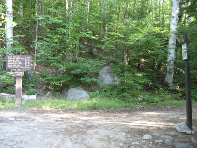
The Lincoln Woods Trail trailhead
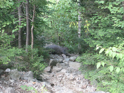
A moose's final resting place on the Owl's Head Path
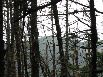
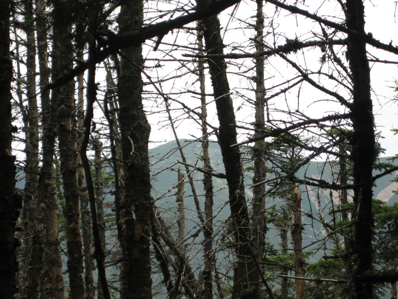
Looking at west from near the summit of Owl's Head

Directions to trailhead: Take Route 112 East from I-93 past Loon to the Lincoln Woods WMNF fee parking area (left side of road).
Back to Owl's Head Profile
|