Home
States
Colorado
Connecticut
Maine
Massachusetts
New Hampshire
New York
Rhode Island
Utah
Vermont
View All
Lists
NE 4,000 Footers
NE 100 Highest
NH 4,000 Footers
NH 100 Highest
NH 52 With A View
NH Belknap Range
NH Ossipee 10
Links
Trail Conditions
Trip Log
Sunrises
Sunsets
About
|
Owl's Head
Lincoln, NH, Franconia, NH
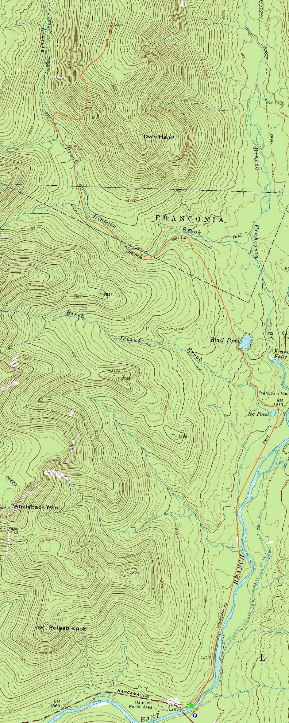
Trailheads, measurements, times, distances, and maps are all approximate and relative to the hike(s) as shown below.
The Black Pond Trail
Route: Lincoln Woods Trail, Black Pond Trail, bushwhack, Lincoln Brook Trail, bushwhack, Owl's Head Path, (formerly recognized Owl's Head summit), bushwack, (Owl's Head), buswhack, Owl's Head Path, bushwhack, Lincoln Brook Trail, bushwhack, Black Pond Trail, Lincoln Woods Trail
Another Owl's Head hike. Not a fan.
After walking on a hardpacked Lincoln Woods Trail, we turned onto the Black Pond Trail, where we encountered a few brief barespots. Once at the pond, the snowpack was a bit more seasonable.
The previously broken out bushwhack ran a bit high, but nonetheless was fairly direct and avoided the lower wet areas. The on the Lincoln Brook Trail went fairly smoothly, as all three water crossings were fully snowbridged.
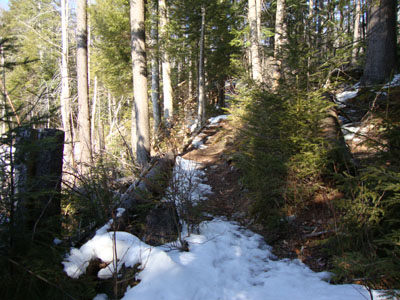
Reaching the beginning of the 'Brutus Bushwhack,' we all seemed to follow separate tracks, reconvening on the old skidder road. From there, it was a nice spring-like walk through the sunny birch glades.
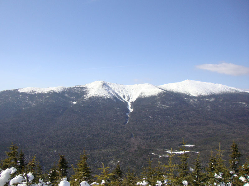
Above there, we followed tracks into the spurce (fortunately not too thick) and up to the ridge. Dropping our packs, we continued to the 'old summit,' then proceeded to break trail (sinking very little) to the 'new summit.' Just beyond this point, we were surprised with amazingly strong views, thanks to a large snowdrift. For once, Owl's Head seemed like a reasonable destination to me.
The return trip was fairly warm with the mid-spring temperatures and sunshine. It'll be interesting to see if winter returns soon.
| Hike Ratings |
|
Getting To Trailhead: |
Easy |
| Destination: |
Owl's Head |
|
Length: |
Very Difficult |
|
Steepness: |
Difficult |
|
Navigation: |
Difficult |
|
Views: |
Excellent |
|
Crowds: |
Moderate |
|
| Hike Stats |
|
Date Hiked: |
Sunday, March 7, 2010 |
| Hike Commenced: |
7:35 AM |
| Parking Elevation: |
1,170' |
| Destination: |
Owl's Head |
| Ascent Commenced: |
7:38 AM |
| Summit Reached: |
12:49 PM |
| Time Elapsed: |
05:11 |
| Trailhead Elevation: |
1,170' |
| Summit Elevation: |
4,025' |
| Vertical Gain: |
3,155' |
|
|
| Hike Ended: |
4:57 PM |
| Hike Time Elapsed: |
9:22 |
| Hike Vertical Gain: |
3,510' |
|
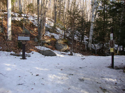
The Lincoln Woods Trail trailhead
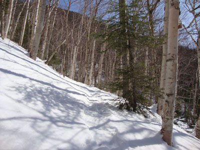
The birch glade, south of the slide
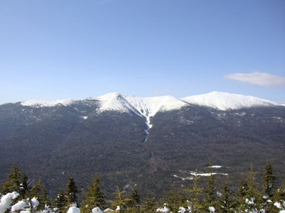
Rare, superb views of the Franconia Ridge from next to the 'new' summit of Owl's Head

Directions to trailhead: Take Route 112 East from I-93 past Loon to the Lincoln Woods WMNF fee parking area (left side of road).
Back to Owl's Head Profile
|