Home
States
Colorado
Connecticut
Maine
Massachusetts
New Hampshire
New York
Rhode Island
Utah
Vermont
View All
Lists
NE 4,000 Footers
NE 100 Highest
NH 4,000 Footers
NH 100 Highest
NH 52 With A View
NH Belknap Range
NH Ossipee 10
Links
Trail Conditions
Trip Log
Sunrises
Sunsets
About
|
Owl's Head
Lincoln, NH, Franconia, NH
Trailheads, measurements, times, distances, and maps are all approximate and relative to the hike(s) as shown below.
The birch glade, south of the slide
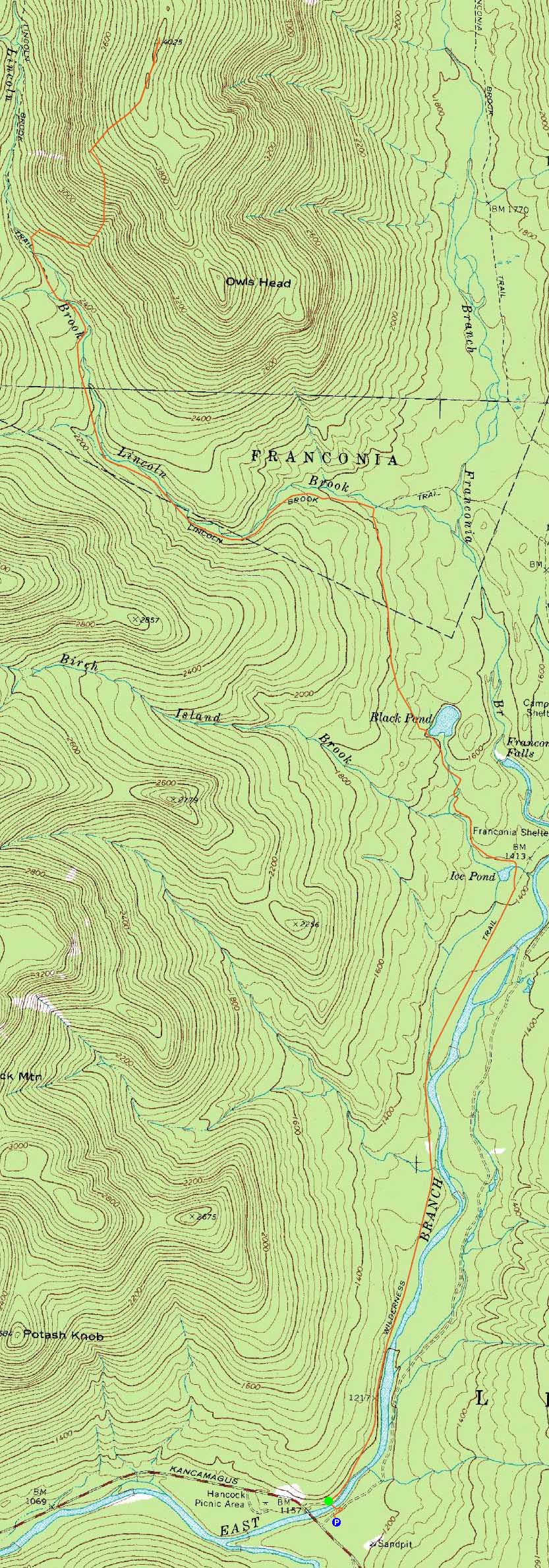
Route: Lincoln Woods Trail, Black Pond Trail, bushwhack, Lincoln Brook Trail, bushwhack, Owl's Head Path, (formerly recognized Owl's Head summit), bushwack, (Owl's Head), buswhack, Owl's Head Path, bushwhack, Lincoln Brook Trail, bushwhack, Black Pond Trail, Lincoln Woods Trail
Another visit to dreaded Owl's Head. After a brisk walk along the Lincoln Woods and Black Pond Trails in increasing cold weather, we followed a packed route through the northern bushwhack from the pond, eventually emerging on the Lincoln Brook Trail - a much more direct route than was broken out in February 2009.
Reaching the third water crossing on the Lincoln Brook Trail, we hopped off trail and worked our way up to an old logging road, which we then took into the vast birch gully. Trail breaking was a bit tricky, due to unbroken powder with a semi-breakable crust about a foot and a half down. We eventually hooked a left and into the softwoods, taking a route a little bit too low and heading through a ledgy area.
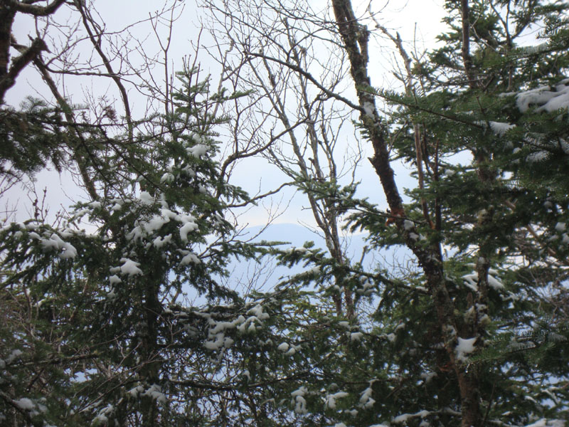
The Owl's Head Path was broken out to the 'old summit,' however the stretch to the new summit was unbroken and filled with drifts and spruce traps. While there can be winter views to the east, there were some snowclouds blocking any on this day.
On the descent, we chose a different route back to the birch gully, avoiding the ledgy area. After that, it was a long walk out along flat trails.
| Hike Ratings |
|
Getting To Trailhead: |
Easy |
| Destination: |
Owl's Head |
|
Length: |
Very Difficult |
|
Steepness: |
Difficult |
|
Navigation: |
Difficult |
|
Views: |
Minimal |
|
Crowds: |
Minimal |
|
| Hike Stats |
|
Date Hiked: |
Sunday, April 11, 2010 |
| Hike Commenced: |
7:35 AM |
| Parking Elevation: |
1,170' |
| Destination: |
Owl's Head |
| Ascent Commenced: |
7:38 AM |
| Summit Reached: |
12:21 PM |
| Time Elapsed: |
04:43 |
| Trailhead Elevation: |
1,170' |
| Summit Elevation: |
4,025' |
| Vertical Gain: |
3,055' |
|
|
| Hike Ended: |
4:56 PM |
| Hike Time Elapsed: |
10:21 |
| Hike Vertical Gain: |
3,310' |
|
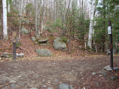
The Lincoln Woods Trail trailhead
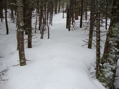
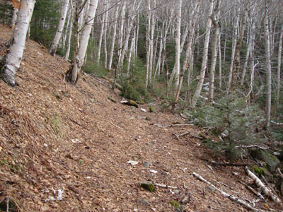
The Owl's Head Path

A lack of views from Owl's Head
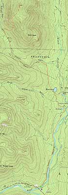

Directions to trailhead: Take Route 112 East from I-93 past Loon to the Lincoln Woods WMNF fee parking area (left side of road).
Back to Owl's Head Profile
|