Home
States
Colorado
Connecticut
Maine
Massachusetts
New Hampshire
New York
Rhode Island
Utah
Vermont
View All
Lists
NE 4,000 Footers
NE 100 Highest
NH 4,000 Footers
NH 100 Highest
NH 52 With A View
NH Belknap Range
NH Ossipee 10
Links
Trail Conditions
Trip Log
Sunrises
Sunsets
About
|
Owl's Head
Lincoln, NH, Franconia, NH
Trailheads, measurements, times, distances, and maps are all approximate and relative to the hike(s) as shown below.
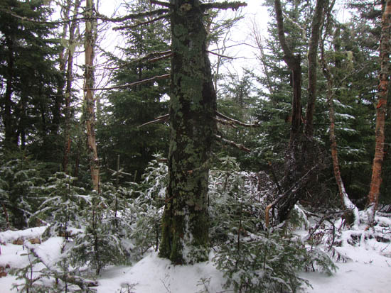
The birch glade, south of the slide
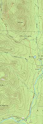
Route: Lincoln Woods Trail, Black Pond Trail, bushwhack, Lincoln Brook Trail, bushwhack, Owl's Head Path, (formerly recognized Owl's Head summit), bushwack, (Owl's Head), buswhack, Owl's Head Path, bushwhack, Lincoln Brook Trail, bushwhack, Black Pond Trail, Lincoln Woods Trail
With a very limited opportunity before a rain storm moving in, we decided to get an early start and hopefully beat out the heavy rain. Starting very early, we made decent time to Black Pond. Now with daylight in foggy conditions, we bushwhacked to the Lincoln Brook Trail, with about an inch of snow on the ground.
The water crossings, ahead of the storm, were surprisingly low. Only the third crossing posed any issues, due to slippery/icy rocks.
Shortly thereafter, we bushwhacked to the old logging roads into the Brutus Bushwhack glade, headed up the gully, then into the fairly open spruce woods.
After popping out onto the Owl's Head Path, we headed up to the ridge. With higher winds and blowing rain, we added layers and followed herd paths to the old summit and the new summit. With the weather starting to take a turn for the worse, we quickly doubled back and headed down.
Once back on the trails, surface conditions became muddy and slushy as temperatures climbed a bit. Nonetheless, significant rain held off until we reached the parking lot - at which time, the skies started to gradually open up.
| Hike Ratings |
|
Getting To Trailhead: |
Easy |
| Destination: |
Owl's Head |
|
Length: |
Very Difficult |
|
Steepness: |
Difficult |
|
Navigation: |
Difficult |
|
Views: |
Minimal |
|
Crowds: |
Minimal |
|
| Hike Stats |
|
Date Hiked: |
Wednesday, December 1, 2010 |
| Hike Commenced: |
6:02 AM |
| Parking Elevation: |
1,170' |
| Destination: |
Owl's Head |
| Ascent Commenced: |
6:07 AM |
| Summit Reached: |
11:03 AM |
| Time Elapsed: |
04:56 |
| Trailhead Elevation: |
1,170' |
| Summit Elevation: |
4,025' |
| Vertical Gain: |
3,055' |
|
|
| Hike Ended: |
3:30 PM |
| Hike Time Elapsed: |
9:28 |
| Hike Vertical Gain: |
3,310' |
|
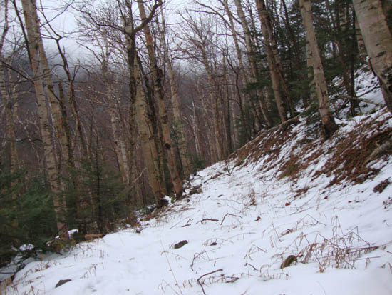
The Lincoln Woods Trail trailhead
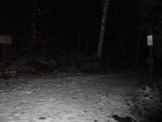
A lack of views from Owl's Head

Directions to trailhead: Take Route 112 East from I-93 past Loon to the Lincoln Woods WMNF fee parking area (left side of road).
Back to Owl's Head Profile
|