Home
States
Colorado
Connecticut
Maine
Massachusetts
New Hampshire
New York
Rhode Island
Utah
Vermont
View All
Lists
NE 4,000 Footers
NE 100 Highest
NH 4,000 Footers
NH 100 Highest
NH 52 With A View
NH Belknap Range
NH Ossipee 10
Links
Trail Conditions
Trip Log
Sunrises
Sunsets
About
|
Peaked Hill
Bridgewater, NH
Trailheads, measurements, times, distances, and maps are all approximate and relative to the hike(s) as shown below.

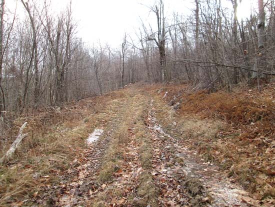
Looking up a logging road
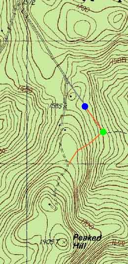
Route: Talcott Trail, logging roads, bushwhack
Peaked Hill between Newfound Lake and the I-93 corridor.
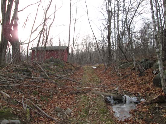
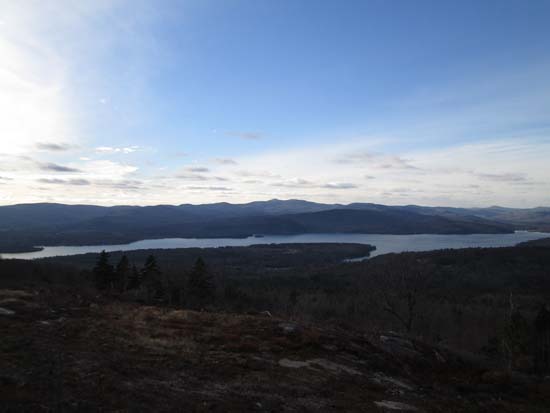
Started from the active logging landing sort of at the end of Talcott Road (Talcott snowmobile trail), soon turning right at a partially collapsed old camp. Continued uphill through a little slash (looked like the road could be muddy), eventually hitting a better grassy woods road. Soon thereafter, I arrived at the open northern peak, which is topped with a private cabin. Fantastic views from here, ranging from Ragged Mountain, a full look at Newfound Lake, the Spanish Imposition (Groton Wind Farm), Franconia Notch, Mt. Washington, Mt. Chocorua, and the Ossipees. I didn't encounter any No Trespassing signs via this route.
From here, I continued south on some logging roads that looked to be rather wet (frozen solid today), then bushwhacked for a short while in fairly open woods to the highpoint (seemed to me to be in a rocky area), where there were only views through the trees.
I encountered essentially no snow and only minimal ice (i.e. frozen pooled or runoff water) and did not need any sort of traction.
| Hike Ratings |
|
Getting To Trailhead: |
Moderate |
| Destination: |
Peaked Hill |
|
Length: |
Moderate |
|
Steepness: |
Easy |
|
Navigation: |
Difficult |
|
Views: |
Minimal |
|
Crowds: |
Minimal |
|
| Hike Stats |
|
Date Hiked: |
Sunday, December 8, 2013 |
| Parking Elevation: |
1,540' |
| Destination: |
Peaked Hill |
| Time Elapsed: |
00:33 |
| Trailhead Elevation: |
1,500' |
| Summit Elevation: |
1,905' |
| Vertical Gain: |
445' |
|
|
| Hike Time Elapsed: |
01:14 |
| Hike Vertical Gain: |
525' |
|

The start of a logging road off Talcott Road

Looking west at Newfound Lake from the northern peak of Peaked Hill


Directions to trailhead: To get to Talcott Road, take Route 3A north from Bristol, then take a right onto Dick Brown Pond Road. Take a right onto Poole Hill Road. Near a height of land, take a right onto Talcott Road (may be gated). In fall 2013, one could proceed to a logging landing.
Back to Burleigh Mountain Profile
|