Home
States
Colorado
Connecticut
Maine
Massachusetts
New Hampshire
New York
Rhode Island
Utah
Vermont
View All
Lists
NE 4,000 Footers
NE 100 Highest
NH 4,000 Footers
NH 100 Highest
NH 52 With A View
NH Belknap Range
NH Ossipee 10
Links
Trail Conditions
Trip Log
Sunrises
Sunsets
About
|
Peaked Mountain
Conway, NH
Trailheads, measurements, times, distances, and maps are all approximate and relative to the hike(s) as shown below.
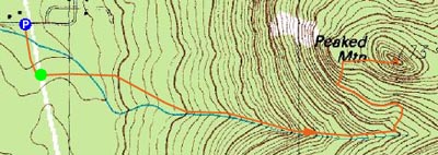
The Middle Mountain Trail
Route: Middle Mountain Trail, Peaked Mountain Trail, (Peaked Mountain), Peaked Mountain Trail, Middle Mountain Trail
Since I had a little extra time, today's sunset hike would be slightly longer than current daylight has been allowing.
My first, and so far only, time on Peaked Mountain had been in April, in conjunction with Middle Mountain. I had my choice today - Peaked or Middle - and due to the direction of the ledges in comparison to the sunset, I chose Peaked.
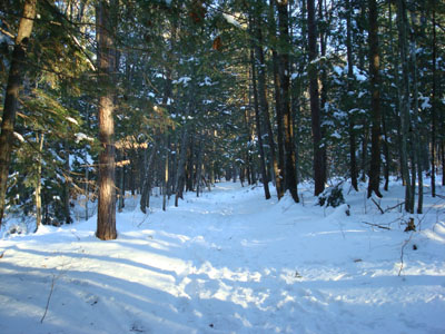
I was the only one in the unplowed parking lot upon arriving. The trail was fairly well broken out by snowshoers and barebooters alike. Contrary to my spring hike, the trail wasn't too wet.
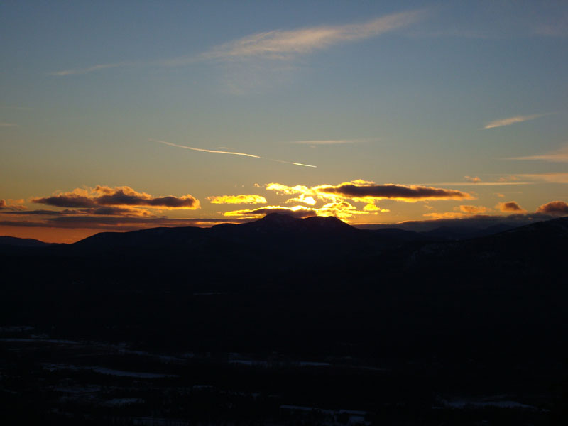
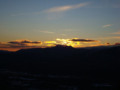
Arriving at the summit, I could see there was some potential for a nice sunset. Unfortunately, a small bank of clouds moved in on Mt. Chocorua and obscured what would otherwise be the best part of the sunset. Nonetheless, there were really nice colours in all other directions.
| Hike Ratings |
|
Getting To Trailhead: |
Easy |
| Destination: |
Peaked Mountain |
|
Length: |
Moderate |
|
Steepness: |
Moderate |
|
Navigation: |
Easy |
|
Views: |
Excellent |
|
Crowds: |
Minimal |
|
| Hike Stats |
|
Date Hiked: |
December 6, 2007 |
| Hike Commenced: |
2:46 PM |
| Parking Elevation: |
535' |
| Destination: |
Peaked Mountain |
| Ascent Commenced: |
2:51 PM |
| Summit Reached: |
3:42 PM |
| Time Elapsed: |
00:51 |
| Trailhead Elevation: |
545' |
| Summit Elevation: |
1,739' |
| Vertical Gain: |
1,244' |
|
|
| Hike Ended: |
4:51 PM |
| Hike Time Elapsed: |
02:05 |
| Hike Vertical Gain: |
1,359' |
|
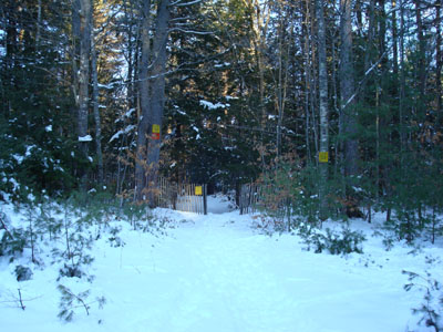
Middle Mountain Trail trailhead under the power lines
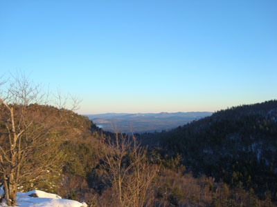
Looking southeast into Maine from Peaked Mountain

Directions to trailhead: From Routes 16/302 in North Conway, take Artist Falls Road past the railroad tracks. Take a right onto Thompson Road. A small Town of Conway/Pudding Pond Conservation Area signed parking lot will be on the right shortly thereafter.
Back to Peaked Mountain Profile
|