Home
States
Colorado
Connecticut
Maine
Massachusetts
New Hampshire
New York
Rhode Island
Utah
Vermont
View All
Lists
NE 4,000 Footers
NE 100 Highest
NH 4,000 Footers
NH 100 Highest
NH 52 With A View
NH Belknap Range
NH Ossipee 10
Links
Trail Conditions
Trip Log
Sunrises
Sunsets
About
|
Peaked Mountain
Conway, NH
Trailheads, measurements, times, distances, and maps are all approximate and relative to the hike(s) as shown below.
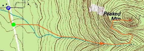
The Middle Mountain Trail
Route: Middle Mountain Trail, Peaked Mountain Trail, (Peaked Mountain), Peaked Mountain Trail, Middle Mountain Trail
With the clocks now turned back, my after work hiking time has been dramatically reduced. As such, smaller peaks such as Peaked Mountain become destinations. While others were probably already getting glued to the television as to see which liberal Senator would be elected, I headed up to Conway on a somewhat warm afternoon for a hike.
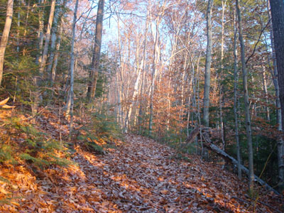
The Middle Mountain Trail was in pretty good shape - dry and snow and ice free. I was pleased to see some new trail signs had been put up near Peaked Mountain.
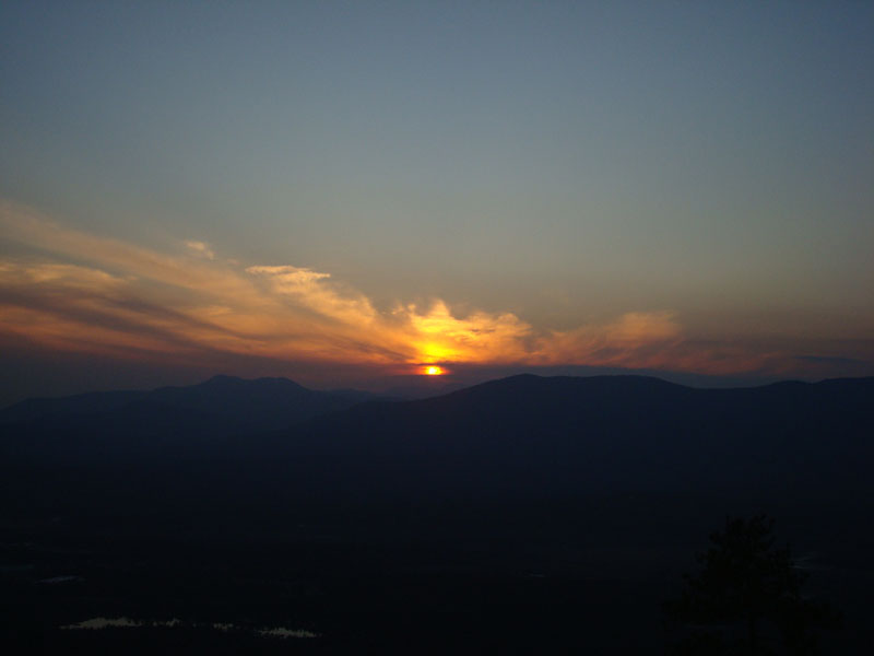
I arrived at the summit just in time to see the sun set into some low clouds/haze between Mt. Chocorua and the Moats. With the haze, the views were a bit fuzzy. Since the clouds resulted in earlier than normal colors, and thus an earlier than normal subsiding of colors, I was able to get down most of the trail without using my headlamp.
| Hike Ratings |
|
Getting To Trailhead: |
Easy |
| Destination: |
Peaked Mountain |
|
Length: |
Moderate |
|
Steepness: |
Moderate |
|
Navigation: |
Easy |
|
Views: |
Excellent |
|
Crowds: |
Minimal |
|
| Hike Stats |
|
Date Hiked: |
November 4, 2008 |
| Hike Commenced: |
3:39 PM |
| Parking Elevation: |
535' |
| Destination: |
Peaked Mountain |
| Ascent Commenced: |
3:42 PM |
| Summit Reached: |
4:16 PM |
| Time Elapsed: |
00:34 |
| Trailhead Elevation: |
545' |
| Summit Elevation: |
1,739' |
| Vertical Gain: |
1,244' |
|
|
| Hike Ended: |
5:13 PM |
| Hike Time Elapsed: |
01:34 |
| Hike Vertical Gain: |
1,359' |
|
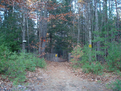
Middle Mountain Trail trailhead under the power lines

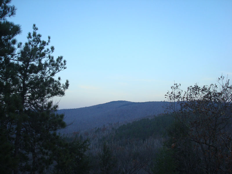
Looking at Black Cap from Peaked Mountain
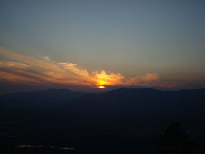
The sunset as seen from Peaked Mountain


Directions to trailhead: From Routes 16/302 in North Conway, take Artist Falls Road past the railroad tracks. Take a right onto Thompson Road. A small Town of Conway/Pudding Pond Conservation Area signed parking lot will be on the right shortly thereafter.
Back to Peaked Mountain Profile
|