Home
States
Colorado
Connecticut
Maine
Massachusetts
New Hampshire
New York
Rhode Island
Utah
Vermont
View All
Lists
NE 4,000 Footers
NE 100 Highest
NH 4,000 Footers
NH 100 Highest
NH 52 With A View
NH Belknap Range
NH Ossipee 10
Links
Trail Conditions
Trip Log
Sunrises
Sunsets
About
|
Peaked Mountain
Conway, NH
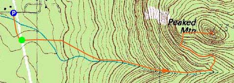
Trailheads, measurements, times, distances, and maps are all approximate and relative to the hike(s) as shown below.
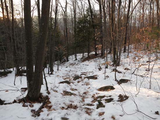
Looking down the Middle Mountain Trail
Route: Middle Mountain Trail, Peaked Mountain Trail, (Peaked Mountain), Peaked Mountain Trail, Middle Mountain Trail
Trails had generally about an inch of frozen granular snowpack with avoidable patches of blue ice and mud. Generally about 1-4" of snow in the woods with growing bare spots. Ledges on Peaked Mountain proper were generally snow/ice free. Barebooted to the summit and back without issue.
| Hike Ratings |
|
Getting To Trailhead: |
Easy |
| Destination: |
Peaked Mountain |
|
Length: |
Moderate |
|
Steepness: |
Moderate |
|
Navigation: |
Easy |
|
Views: |
Excellent |
|
Crowds: |
Moderate |
|
| Hike Stats |
|
Date Hiked: |
December 2, 2014 |
| Parking Elevation: |
535' |
| Destination: |
Peaked Mountain |
| Time Elapsed: |
00:27 |
| Trailhead Elevation: |
535' |
| Summit Elevation: |
1,739' |
| Vertical Gain: |
1,254' |
|
|
| Hike Time Elapsed: |
00:57 |
| Hike Vertical Gain: |
1,359' |
|
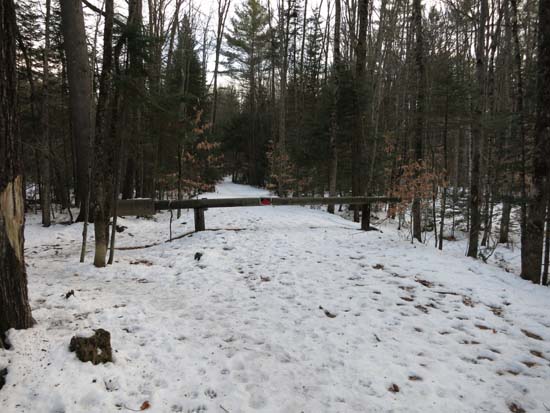
The Pudding Pond Conservation Area trailhead on Thompson Road

The sunset over Mt. Chocorua from Peaked Mountain

Directions to trailhead: From Routes 16/302 in North Conway, take Artist Falls Road past the railroad tracks. Take a right onto Thompson Road. A small Town of Conway/Pudding Pond Conservation Area signed parking lot will be on the right shortly thereafter.
Back to Peaked Mountain Profile
|

