Home
States
Colorado
Connecticut
Maine
Massachusetts
New Hampshire
New York
Rhode Island
Utah
Vermont
View All
Lists
NE 4,000 Footers
NE 100 Highest
NH 4,000 Footers
NH 100 Highest
NH 52 With A View
NH Belknap Range
NH Ossipee 10
Links
Trail Conditions
Trip Log
Sunrises
Sunsets
About
|
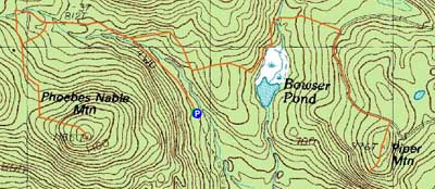
Phoebes Nable Mountain, Piper Mountain
Middleton, NH
Trailheads, measurements, times, distances, and maps are all approximate and relative to the hike(s) as shown below.
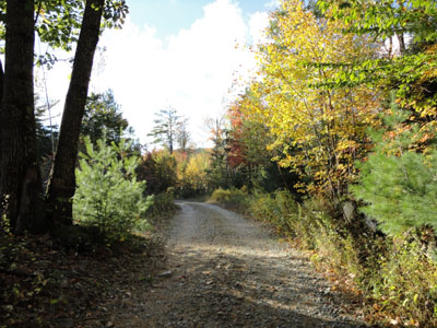
North Road on the way to Phoebes Nable Mountain
Route: Burrows Farm Trail, North Road, woods road, Phoebes Nable Spur, (Phoebes Nable Mountain), Phoebes Nable Spur, woods road, North Road, Piper Mountain Trail, Piper Mountain Road, Piper Mountain Spur, (Piper Mountain), Piper Mountain Spur, Piper Mountain Road, Piper Mountain Trail, North Road, Burrows Farm Trail
After recently finding out about the existence of a trail network in the southern Moose Mountains, I headed south on a windy day to check it out.
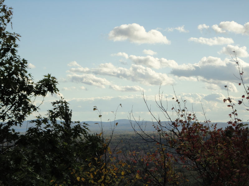
Starting at the Moose Mountains Reservation parking area, I jogged up the woods road, crossing a bridge, then eventually taking a left over another bridge (weight limit sign). Beyond there, I beared right, arriving in a field. Continuing to the top corner of the field (nice views toward Moose Mountain), I cut across diagonally on the Phoebes Nable Spur. Reaching the summit of that peak, I was hoping to get some nice views. While there was a ledge, the trees below it had taken over much of the view. While I was able to procure slight views via bushwhacking to the west in open woods, it was nothing to write home about. Perhaps when the leaves are down, there's more to see.
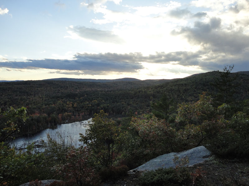
After jogging back to the lower junction, I decided I had enough time to check out Piper Mountain. Continuing over to it on a snowmobile trail, then dirt road, then snowmobile trail, I crossed over the wooded summit and soon reached a nice view ledge that looked to the southwest.
Since some rain was moving in, along with darkness, I turned around and jogged back to the trailhead, reaching the parking lot just before sunset. Though the trails were all woods roads and/or snowmobile trails, it was a nice jog in the woods.
| Hike Ratings |
|
Getting To Trailhead: |
Easy |
| Destination: |
Phoebes Nable Mountain |
|
Length: |
Moderate |
|
Steepness: |
Easy |
|
Navigation: |
Moderate |
|
Views: |
Moderate |
|
Crowds: |
Minimal |
| Destination: |
Piper Mountain |
|
Length: |
Moderate |
|
Steepness: |
Easy |
|
Navigation: |
Moderate |
|
Views: |
Excellent |
|
Crowds: |
Minimal |
|
| Hike Stats |
|
Date Hiked: |
Thursday, October 7, 2010 |
| Hike Commenced: |
4:13 PM |
| Parking Elevation: |
670' |
| Destination: |
Phoebes Nable Mountain |
| Ascent Commenced: |
4:13 PM |
| Summit Reached: |
4:33 PM |
| Time Elapsed: |
00:20 |
| Trailhead Elevation: |
600' |
| Summit Elevation: |
1,185' |
| Distance: |
1.4 miles |
| Vertical Gain: |
530' |
| Destination: |
Piper Mountain |
| Ascent Commenced: |
4:43 PM |
| Summit Reached: |
5:22 PM |
| Time Elapsed: |
00:39 |
| Trailhead Elevation: |
1,185' |
| Summit Elevation: |
976' |
| Vertical Gain: |
416' |
|
|
| Hike Ended: |
5:57 PM |
| Hike Time Elapsed: |
01:44 |
| Hike Vertical Gain: |
1,206' |
|
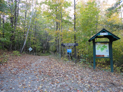
The Burrows Farm Trail trailhead at the end of New Portsmouth Road
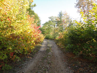
Crossing the field on the way to Phoebes Nable Mountain

Slight views to the southwest from near the summit of Phoebes Nable Mountain
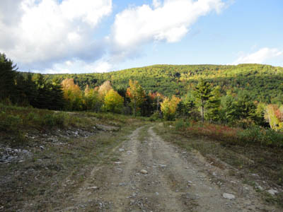
Piper Mountain Road on the way to Piper Mountain
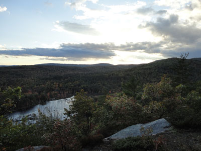
The vista near the summit of Piper Mountain

Directions to trailhead: From Route 16 in the Wakefield-Union area, take Route 153 South. Shortly after leaving Route 125 whilst on 153, take a right onto Ridge Road. A few minutes later, take a right onto New Portsmouth Road. The Moose Mountains Reservation parking lot will be at the end of the road, just prior to a gate.
Back to Phoebes Nable Mountain Profile
Back to Piper Mountain Profile
|