Home
States
Colorado
Connecticut
Maine
Massachusetts
New Hampshire
New York
Rhode Island
Utah
Vermont
View All
Lists
NE 4,000 Footers
NE 100 Highest
NH 4,000 Footers
NH 100 Highest
NH 52 With A View
NH Belknap Range
NH Ossipee 10
Links
Trail Conditions
Trip Log
Sunrises
Sunsets
About
|
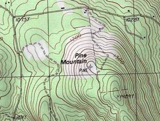
Pine Mountain
Alton, NH
Trailheads, measurements, times, distances, and maps are all approximate and relative to the hike(s) as shown below.
Mary Jane Morse Greenwood Trail
Route: Mary Jane Morse Greenwood Trail
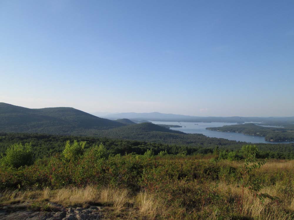
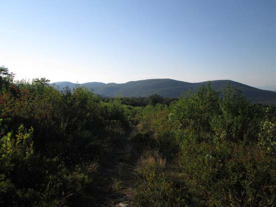
Unplanned hike after being denied Goat Pasture Hill due to beaver flooding. Went up from the gate (just east of the height of land on Alton Mountain Road) on the unblazed grassy road also known as the Mary Jane Morse Greenwood Trail (about 0.75 mile one way). Trail was mostly dry, but grass and weeds were encroaching in places. Avery Hill Road trailhead is probably a better bet. Fantastic views from the open summit, but basically no blueberries to be found (blueberry fields are quickly growing in...may not be a view in another decade or so).
| Hike Ratings |
|
Getting To Trailhead: |
Easy |
| Destination: |
Pine Mountain |
|
Length: |
Easy |
|
Steepness: |
Easy |
|
Navigation: |
Easy |
|
Views: |
Excellent |
|
Crowds: |
Minimal |
|
| Hike Stats |
|
Date Hiked: |
Monday, August 25, 2014 |
| Parking Elevation: |
1,090' |
| Destination: |
Pine Mountain |
| Time Elapsed: |
01:02 |
| Trailhead Elevation: |
1,090' |
| Summit Elevation: |
1,410' |
| Distance: |
0.75 mile |
| Vertical Gain: |
320' |
|
|
| Hike Time Elapsed: |
01:56 |
| Hike Vertical Gain: |
320' |
|
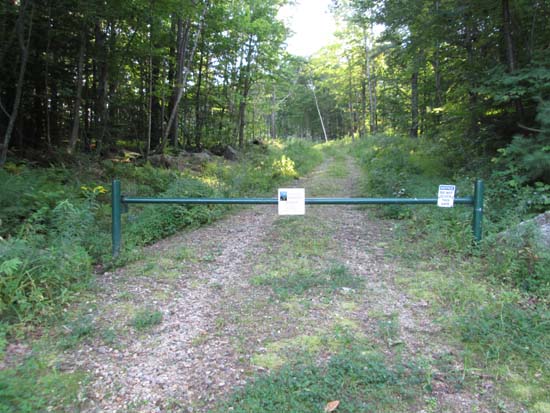
The beginning of the Mary Jane Morse Greenwood Trail
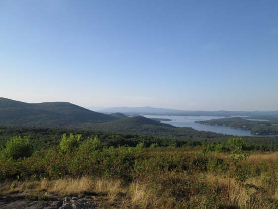
Looking at Mt. Major and Lake Winnipesaukee from Pine Mountain

Directions to trailhead: From the Route 11 in Alton, take Rand Hill Road, then take a left onto Alton Mountain Road. The Mary Jane Morse Greenwood Trail trailhead is on the left prior to the height of land. There is very limited room to park roadside.
Back to Pine Mountain Profile
|