Home
States
Colorado
Connecticut
Maine
Massachusetts
New Hampshire
New York
Rhode Island
Utah
Vermont
View All
Lists
NE 4,000 Footers
NE 100 Highest
NH 4,000 Footers
NH 100 Highest
NH 52 With A View
NH Belknap Range
NH Ossipee 10
Links
Trail Conditions
Trip Log
Sunrises
Sunsets
About
|
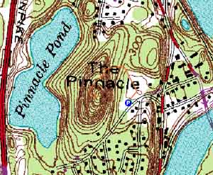
The Pinnacle
Hooksett, NH
Trailheads, measurements, times, distances, and maps are all approximate and relative to the hike(s) as shown below.
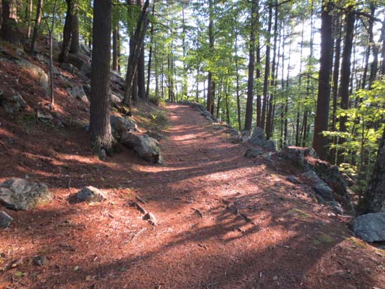
The trail to Hooksett Pinnacle
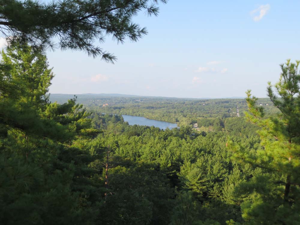
On my way back from the airport after a long day of travel, I headed over to Hooksett Pinnacle for a quick jog. The trail was generally smooth with good footing. The summit had limited but decent directional views.
| Hike Ratings |
|
Getting To Trailhead: |
Easy |
| Destination: |
The Pinnacle |
|
Length: |
Easy |
|
Steepness: |
Easy |
|
Navigation: |
Easy |
|
Views: |
Excellent |
|
Crowds: |
Minimal |
|
| Hike Stats |
|
Date Hiked: |
Friday, August 30, 2013 |
| Parking Elevation: |
325' |
| Destination: |
The Pinnacle |
| Time Elapsed: |
00:05 |
| Trailhead Elevation: |
325' |
| Summit Elevation: |
485' |
| Vertical Gain: |
170' |
|
|
| Hike Time Elapsed: |
00:18 |
| Hike Vertical Gain: |
180' |
|
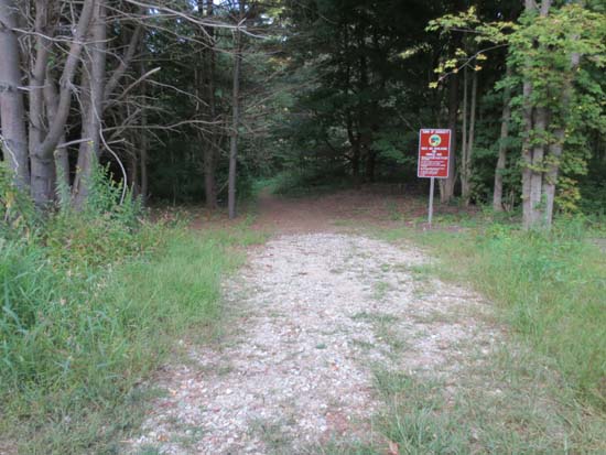
The Pinnacle Park trailhead
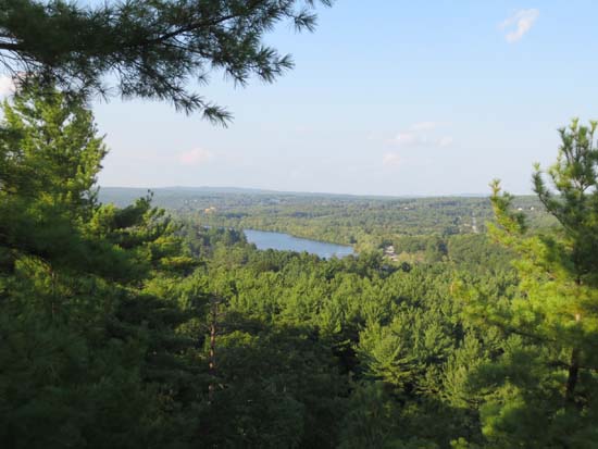
Looking east from Hooksett Pinnacle

Directions to trailhead: Take Route 3A south from Hooksett, then take a right onto Pinnacle Street. The Pinnacle Park parking lot and trailhead will be on the right just after passing Birch Hill Road.
Back to The Pinnacle Profile
|