Home
States
Colorado
Connecticut
Maine
Massachusetts
New Hampshire
New York
Rhode Island
Utah
Vermont
View All
Lists
NE 4,000 Footers
NE 100 Highest
NH 4,000 Footers
NH 100 Highest
NH 52 With A View
NH Belknap Range
NH Ossipee 10
Links
Trail Conditions
Trip Log
Sunrises
Sunsets
About
|
Pinnacle
Canaan, NH
Trailheads, measurements, times, distances, and maps are all approximate and relative to the hike(s) as shown below.

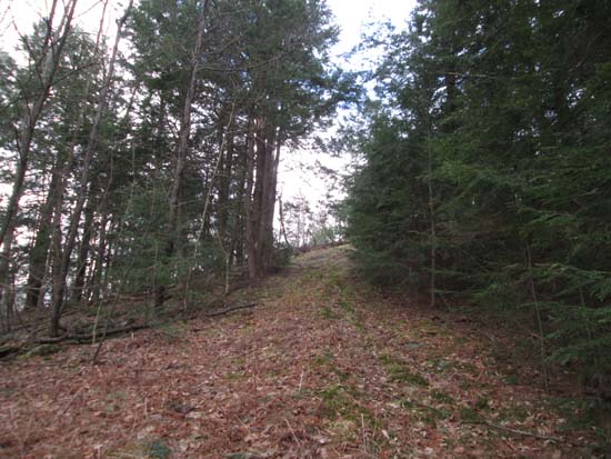
Looking up an abandoned ski trail
Route: Ski trails, bushwhack
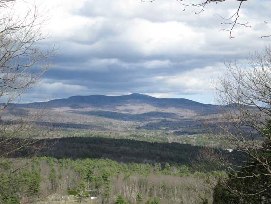
Short hike up the abandoned Cardigan School Pinnacle ski area. Ascended via the trail nearest the road (more like an old woods road to start). Some blowdowns, but otherwise okay going. Higher up, it becomes a wider slope with lots of saplings. Path bears left and continues up to the top of the old ski area. From there, it was a brief open woods bushwhack to the wooded highpoint. Descended down the steep liftline (still mostly clear with a few pockets of saplings down low), then back up to the road. Decent directional views of Mt. Cardigan from the liftline.
| Hike Ratings |
|
Getting To Trailhead: |
Easy |
| Destination: |
Pinnacle |
|
Length: |
Easy |
|
Steepness: |
Moderate |
|
Navigation: |
Moderate |
|
Views: |
Excellent |
|
Crowds: |
Minimal |
|
| Hike Stats |
|
Date Hiked: |
Friday, May 2, 2014 |
| Parking Elevation: |
1,160' |
| Destination: |
Pinnacle |
| Time Elapsed: |
00:13 |
| Trailhead Elevation: |
1,160' |
| Summit Elevation: |
1,450' |
| Vertical Gain: |
300' |
|
|
| Hike Time Elapsed: |
00:31 |
| Hike Vertical Gain: |
350' |
|

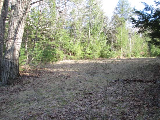
The old ski area entrance

Looking at Mt. Cardigan from the top of the old ski area


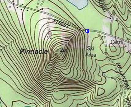
Directions to trailhead: From Canaan, take High Street northwest (which becomes Canaan Street). Shortly after passing Follansbee Road, the former Cardigan Pinnacle ski area entrance will be on the left with a wire across the old road. There is limited room to park on the side of Canaan Street.
Back to Pinnacle Profile
|