Home
States
Colorado
Connecticut
Maine
Massachusetts
New Hampshire
New York
Rhode Island
Utah
Vermont
View All
Lists
NE 4,000 Footers
NE 100 Highest
NH 4,000 Footers
NH 100 Highest
NH 52 With A View
NH Belknap Range
NH Ossipee 10
Links
Trail Conditions
Trip Log
Sunrises
Sunsets
About
|
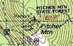
Pitcher Mountain
Stoddard, NH
Trailheads, measurements, times, distances, and maps are all approximate and relative to the hike(s) as shown below.
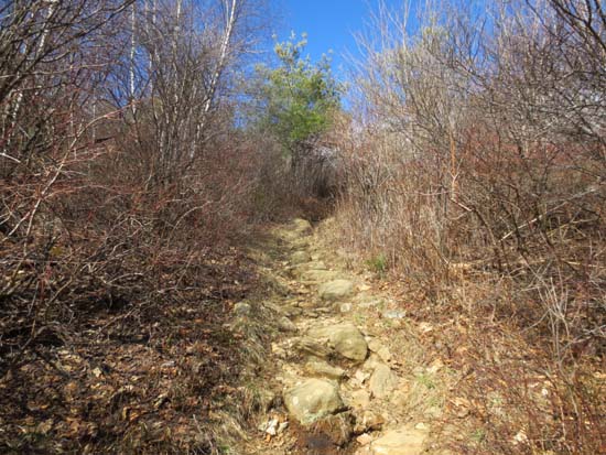
Looking up the Blue Trail
Route: Blue Trail, (Pitcher Mountain), Monadnock-Sunapee Greenway
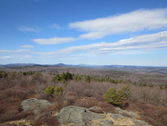
Was very pleasantly surprised with this quick one. Excellent views from the scrubby summit. Stairs to the fire tower also open, which provide slightly better views.
| Hike Ratings |
|
Getting To Trailhead: |
Easy |
| Destination: |
Pitcher Mountain |
|
Length: |
Easy |
|
Steepness: |
Moderate |
|
Navigation: |
Easy |
|
Views: |
Excellent |
|
Crowds: |
Minimal |
|
| Hike Stats |
|
Date Hiked: |
Wednesday, April 24, 2013 |
| Parking Elevation: |
1,170' |
| Destination: |
Pitcher Mountain |
| Time Elapsed: |
00:05 |
| Trailhead Elevation: |
1,880' |
| Summit Elevation: |
2,153' |
| Vertical Gain: |
273' |
|
|
| Hike Time Elapsed: |
00:24 |
| Hike Vertical Gain: |
273' |
|
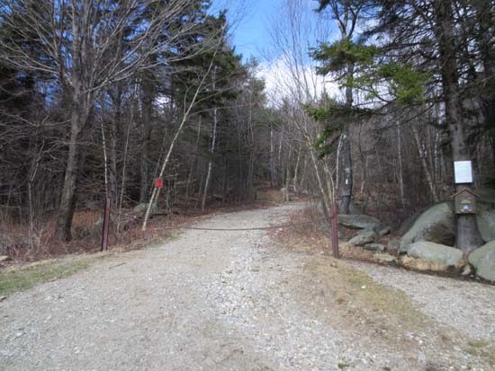
The Blue Trail and Monadnock-Sunapee Greenway trailhead
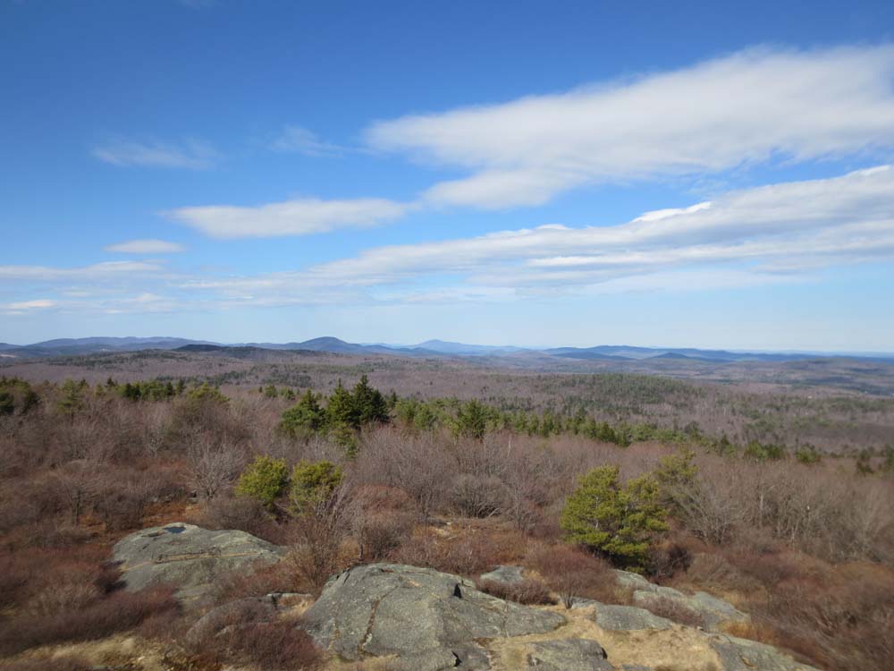
Looking north from Pitcher Mountain

Directions to trailhead: From Route 9 in South Stoddard, take Route 123 North. The Pitcher Mountain parking area will be on the right shortly after passing through Stoddard Village.
Back to Pitcher Mountain Profile
|