Home
States
Colorado
Connecticut
Maine
Massachusetts
New Hampshire
New York
Rhode Island
Utah
Vermont
View All
Lists
NE 4,000 Footers
NE 100 Highest
NH 4,000 Footers
NH 100 Highest
NH 52 With A View
NH Belknap Range
NH Ossipee 10
Links
Trail Conditions
Trip Log
Sunrises
Sunsets
About
|
Potash Mountain
Albany, NH, Waterville Valley, NH
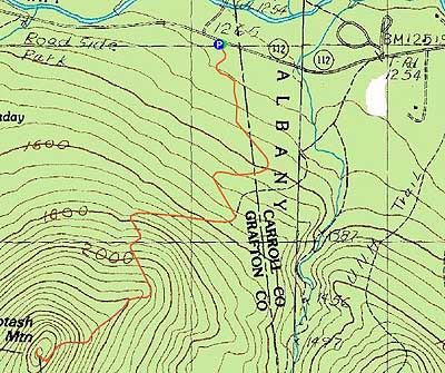
Trailheads, measurements, times, distances, and maps are all approximate and relative to the hike(s) as shown below.
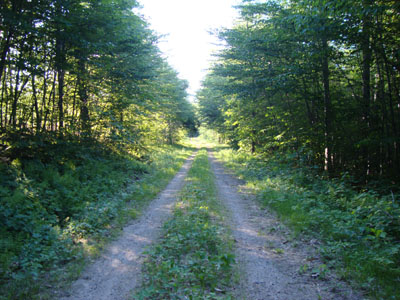
Looking down the logging road near the Mt. Potash Trail
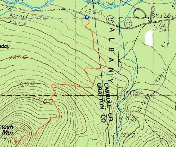
Route: Logging road, Mt. Potash Trail, (Potash Mountain), Mt. Potash Trail, logging road
With a few hours of daylight remaining after work and excellent weather, I quickly headed up to the Kanc and to Mt. Potash.
Not wanting to deal with the water crossing, I opted to take a nearby logging road to the Mt. Potash Trail, rather than the trail proper from the UNH parking area. The Kanc 7 logging project had started, resulting in a clearcut alongside the logging road. Despite the logging equipment usage, the road was still in good shape, resulting in a decent footbed for jogging.
Above there, the Mt. Potash Trail was dry. Interestingly enough, there were perhaps half a dozen blowdowns on the trail, slowing my progress a little bit.
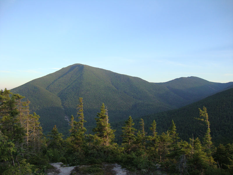
The ledges were fortunately dry, making the final climb to the summit easy enough. While the views to the west were getting a bit hazy, Mt. Washington and Mt. Passaconaway were easily seen to the north and south. While it was tempting to hang around for awhile and see the sunset, I opted to instead explore the ledges near the summit a bit, prior to descending back down the trail and jogging down the logging road.
| Hike Ratings |
|
Getting To Trailhead: |
Easy |
| Destination: |
Potash Mountain |
|
Length: |
Moderate |
|
Steepness: |
Difficult |
|
Navigation: |
Moderate |
|
Views: |
Excellent |
|
Crowds: |
Minimal |
|
| Hike Stats |
|
Date Hiked: |
Tuesday, June 15, 2010 |
| Hike Commenced: |
6:49 PM |
| Parking Elevation: |
1,255' |
| Destination: |
Potash Mountain |
| Ascent Commenced: |
6:49 PM |
| Summit Reached: |
7:33 PM |
| Time Elapsed: |
00:44 |
| Trailhead Elevation: |
1,260' |
| Summit Elevation: |
2,680' |
| Vertical Gain: |
1,480' |
|
|
| Hike Ended: |
8:26 PM |
| Hike Time Elapsed: |
02:37 |
| Hike Vertical Gain: |
1,545' |
|
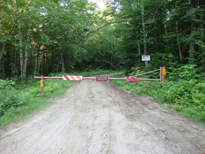
The beginning of the logging road to the Mt. Potash Trail
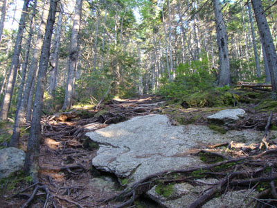
Looking up the Mt. Potash Trail
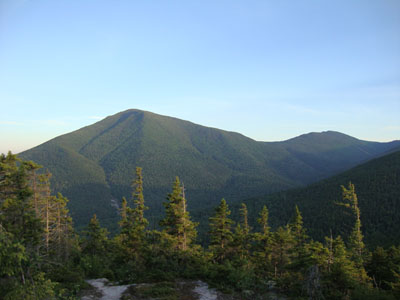
Looking at Mt. Passaconaway and Mt. Whiteface from Potash Mountain

Directions to trailhead: Take Route 112 West from Conway. Shortly after passing Bear Notch Road and then entrance to the UNH and Downes Brook Trails, there will be a gated logging road on the left. There is room for a few vehicles to park along Route 112 without blocking the logging road entrance.
Back to Potash Mountain Profile
|