Home
States
Colorado
Connecticut
Maine
Massachusetts
New Hampshire
New York
Rhode Island
Utah
Vermont
View All
Lists
NE 4,000 Footers
NE 100 Highest
NH 4,000 Footers
NH 100 Highest
NH 52 With A View
NH Belknap Range
NH Ossipee 10
Links
Trail Conditions
Trip Log
Sunrises
Sunsets
About
|
Rattlesnake Mountain
Rumney, NH
Trailheads, measurements, times, distances, and maps are all approximate and relative to the hike(s) as shown below.
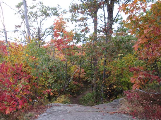
The Rattlesnake Mountain Trail near the summit
Route: Rattlesnake Mountain Trail, (Rattlesnake Mountain), Rattlesnake Mountain Trail
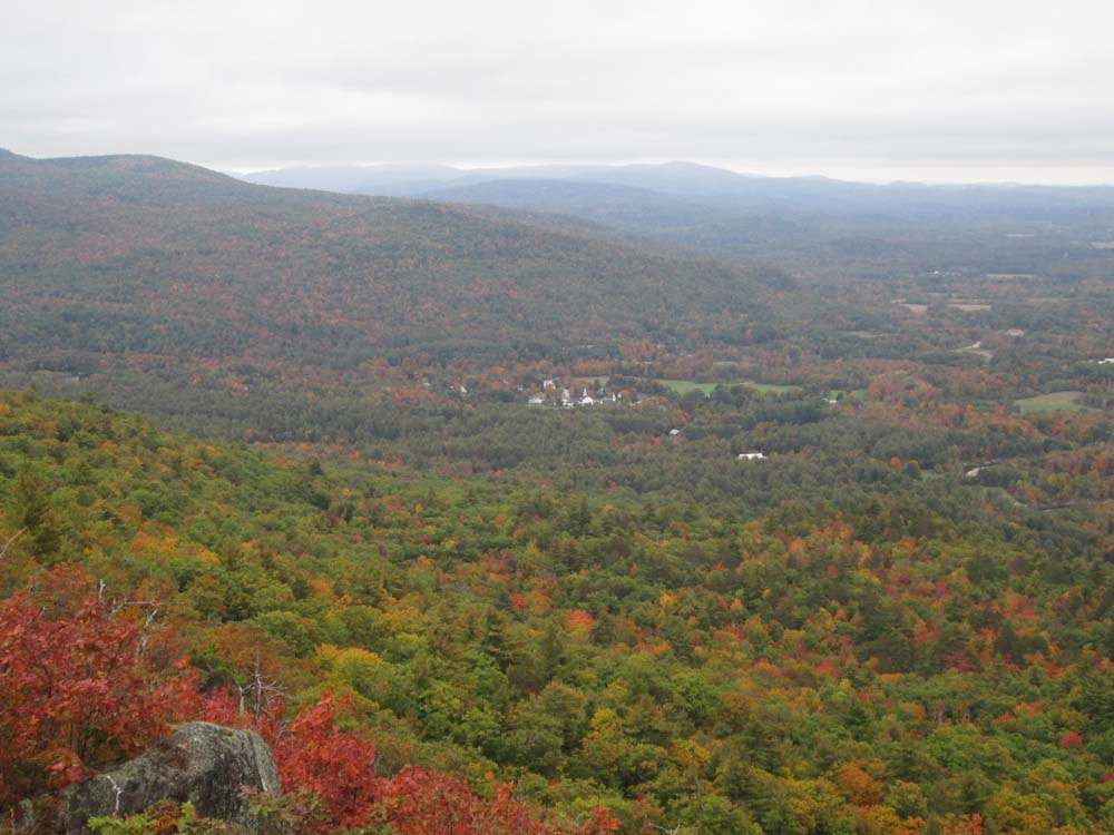
Trail was dry and in good shape. Perhaps a bit slippery on steeps due to gravel being loose from extended dry period. Mediocre foliage down low (mostly green and yellow), but some nice colors up high.
| Hike Ratings |
|
Getting To Trailhead: |
Easy |
| Destination: |
Rattlesnake Mountain |
|
Length: |
Moderate |
|
Steepness: |
Difficult |
|
Navigation: |
Easy |
|
Views: |
Excellent |
|
Crowds: |
Minimal |
|
| Hike Stats |
|
Date Hiked: |
Tuesday, September 30, 2014 |
| Parking Elevation: |
630' |
| Destination: |
Rattlesnake Mountain |
| Time Elapsed: |
00:18 |
| Trailhead Elevation: |
630' |
| Summit Elevation: |
1,594' |
| Distance: |
1.2 miles |
| Vertical Gain: |
999' |
|
|
| Hike Time Elapsed: |
00:35 |
| Hike Distance: |
2.4 miles |
| Hike Vertical Gain: |
1,034' |
|
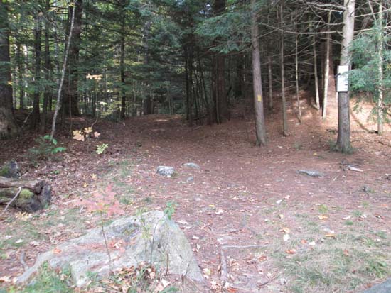
The Rattlesnake Mountain Trail trailhead on off Buffalo Road

Rumney as seen from Rattlesnake Mountain
Directions to trailhead: Take Route 25 west from Plymouth, then take a right onto Main Street in Rumney. Take a left onto Buffalo Road. The Rattlesnake Mountain Trail and small parking lot will eventually be on the right, after passing two rock climbing parking areas.
Back to Rattlesnake Mountain Profile
|