Home
States
Colorado
Connecticut
Maine
Massachusetts
New Hampshire
New York
Rhode Island
Utah
Vermont
View All
Lists
NE 4,000 Footers
NE 100 Highest
NH 4,000 Footers
NH 100 Highest
NH 52 With A View
NH Belknap Range
NH Ossipee 10
Links
Trail Conditions
Trip Log
Sunrises
Sunsets
About
|
Sable Mountain
Chatham, NH, Bean's Purchase, NH
Trailheads, measurements, times, distances, and maps are all approximate and relative to the hike(s) as shown below.
The Slippery Brook Trail
Route: Baldface Circle Trail, Slippery Brook Trail, bushwhack, herd path, (Sable Mountain)
April conditions and weather (partly sunny and above freezing)! While the parking lot and Route 113 were glare ice in the morning, the trail was spring snow (ie a thawed/refrozen wet granular, so it didn't stick on snowshoes) with the occasional small patch of blue ice (not an issue with snowshoe crampons). A foot of snowpack remains, top to bottom (with the exception of the heights of land, which had a little less due to fog/inversion).
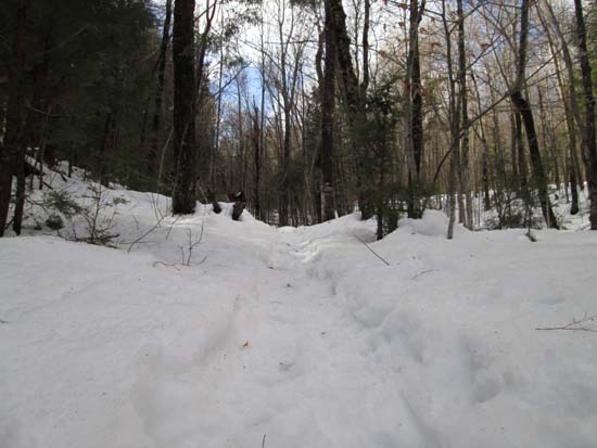
Slippery Brook Trail had been broken out all the way to the Eastman-Baldface Knob col. Water crossings were tricky, but otherwise it was good snowshoeing. No sign of recent traffic to Eastman. Some tracks heading toward Baldface Knob, but not terribly well packed.
From the height of land, we continued on Slippery Brook Trail for maybe a 50 vertical foot drop, then slabbed initially in open spruce woods on the contour toward South Baldface. We then hit open birch woods, which we had most of the way to the Sable ridge. Never a thick spot. Nice snowshoe track in place, which should be easy to follow until the next weather event.
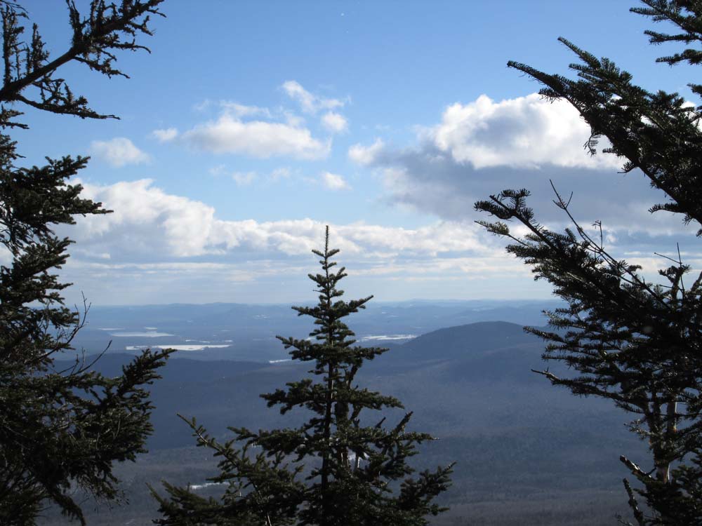
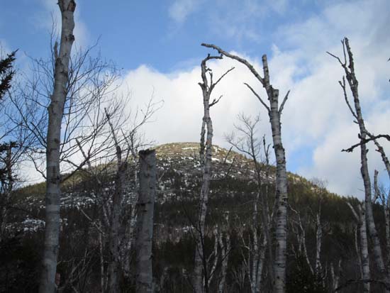
We hit the ridge in a northern saddle, then hopped on the abandoned Sable Mountain Trail, which is still maintained by the resident moose population. It's also heavily used by the local moose population, though they never check NewEnglandTrailConditions.com, so they didn't know to bring snowshoes. We followed their tracks right up to the recognized highpoint (which I don't think is quite the summit, but pretty close). Slight directional view southeast nearby.
Statistically and terrainwise, it's probably pretty similar to a winter Isolation hike. Other than the distance, this was a pretty good pick up of an otherwise remote peak.
| Hike Ratings |
|
Getting To Trailhead: |
Easy |
| Destination: |
Sable Mountain |
|
Length: |
Moderate |
|
Steepness: |
Difficult |
|
Navigation: |
Difficult |
|
Views: |
Moderate |
|
Crowds: |
Minimal |
|
| Hike Stats |
|
Date Hiked: |
Sunday, January 12, 2014 |
| Parking Elevation: |
505' |
| Destination: |
Sable Mountain |
| Time Elapsed: |
03:55 |
| Trailhead Elevation: |
500' |
| Summit Elevation: |
3,519' |
| Vertical Gain: |
3,219' |
|
|
| Hike Time Elapsed: |
07:01 |
| Hike Vertical Gain: |
3,424' |
|
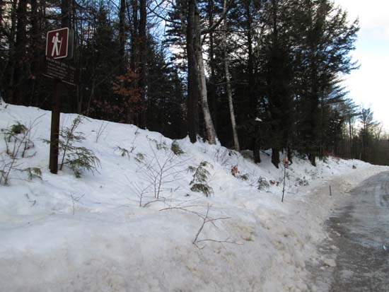
The Baldface Circle Trail trailhead on Route 113
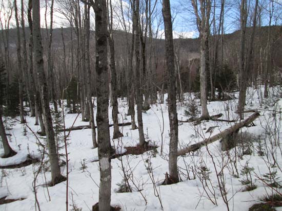
Open woods bushwhacking on the way to Sable Mountain (left)
Views of South Baldface while bushwhacking to Sable Mountain
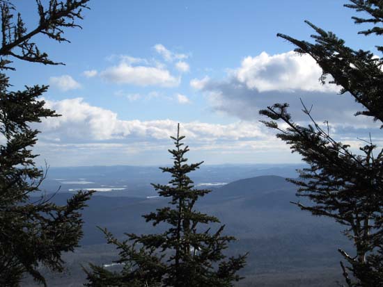
Looking into Maine from Sable Mountain
Directions to trailhead: From US 302 in Maine, take 113 North towards Evans Notch. The Baldface parking lot is on the right side of the road. The trailhead is just north of the parking lot on 113.
Back to Sable Mountain Profile
|