Home
States
Colorado
Connecticut
Maine
Massachusetts
New Hampshire
New York
Rhode Island
Utah
Vermont
View All
Lists
NE 4,000 Footers
NE 100 Highest
NH 4,000 Footers
NH 100 Highest
NH 52 With A View
NH Belknap Range
NH Ossipee 10
Links
Trail Conditions
Trip Log
Sunrises
Sunsets
About
|
Saddleback Mountain
Deerfield, NH, Northwood, NH
Trailheads, measurements, times, distances, and maps are all approximate and relative to the hike(s) as shown below.
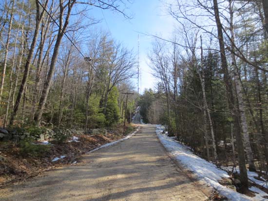
Looking up the road to South Saddleback Mountain
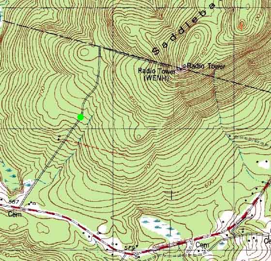
Route: Access road, bushwhack, Parsonage Lot Trail, access road
The first portion of the access road is very gradual. The last portion is short and steep. The gate on the top of the access road was open, so I walked through there (didn't see any obvious signs against it) and headed up onto the ridge. I suspect there are a few views if you poke around, but I didn't spend any time doing so.
There were some patches of snow along the ridge, 1-3" deep. Generally bare ground. One small cliff band to negotiate in the col (found a way around it, as I'm still struggling with stairs, nevermind cliffs). Other than a few random cairns descending off south peak, and some old stonewalls, I saw no evidence of trails along this part of the ridge or the summit.
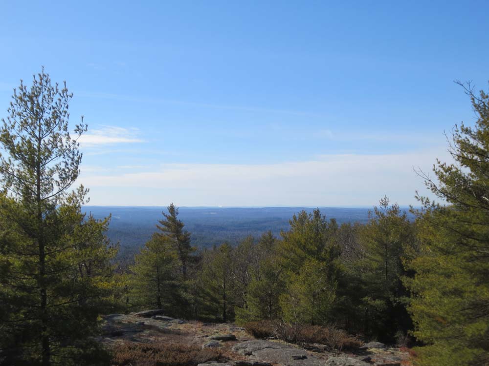
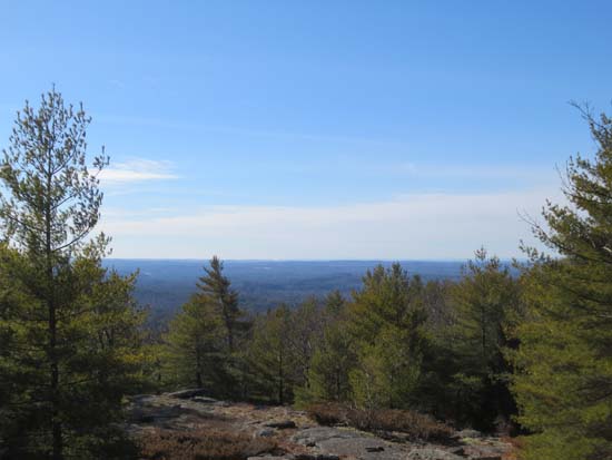
Found a decent eastern view point and a good southern viewpoint not too far from the summit. Limited views west from near the ledgy highpoint.
For the descent, I returned to the col, then headed down the fall line, hoping to intersect a trail I saw from the road. I ended up getting sucked into a drainage first, so it didn't end up being a time saver. Found the Parsonage Trail not too far from its end (icy in spots). I suspect the trail goes from the access road to the ledges on the northwest side of the south summit.
| Hike Ratings |
|
Getting To Trailhead: |
Moderate |
| Destination: |
Saddleback Mountain |
|
Length: |
Moderate |
|
Steepness: |
Moderate |
|
Navigation: |
Difficult |
|
Views: |
Excellent |
|
Crowds: |
Minimal |
|
| Hike Stats |
|
Date Hiked: |
Saturday, February 2, 2013 |
| Parking Elevation: |
775' |
| Destination: |
Saddleback Mountain |
| Time Elapsed: |
00:37 |
| Trailhead Elevation: |
715' |
| Summit Elevation: |
1,150' |
| Vertical Gain: |
485' |
|
|
| Hike Time Elapsed: |
01:40 |
| Hike Vertical Gain: |
535' |
|
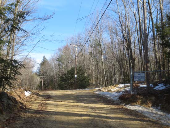
The lower gate of the Saddleback Mountain access road
Looking south toward Wachusett Mountain from near the summit of Saddleback Mountain

Directions to trailhead: From Route 107 in Deerfield, take Route 43 north. Saddleback Mountain Road will eventually be on the left.
Back to Saddleback Mountain Profile
|