Home
States
Colorado
Connecticut
Maine
Massachusetts
New Hampshire
New York
Rhode Island
Utah
Vermont
View All
Lists
NE 4,000 Footers
NE 100 Highest
NH 4,000 Footers
NH 100 Highest
NH 52 With A View
NH Belknap Range
NH Ossipee 10
Links
Trail Conditions
Trip Log
Sunrises
Sunsets
About
|
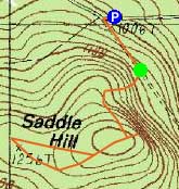
Saddle Hill
Meredith, NH
Trailheads, measurements, times, distances, and maps are all approximate and relative to the hike(s) as shown below.
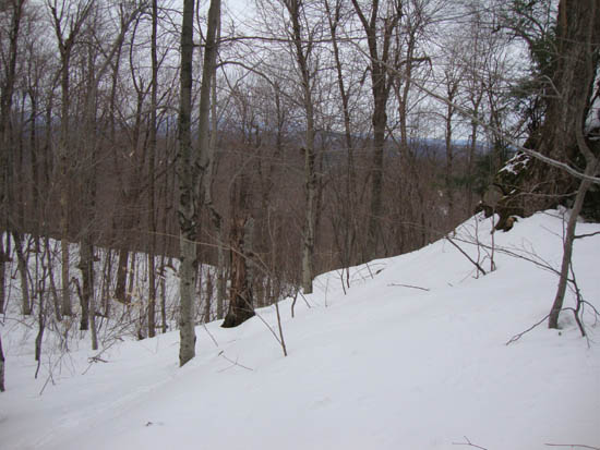
Open woods on the way up Saddle Hill
Route: Bushwhack
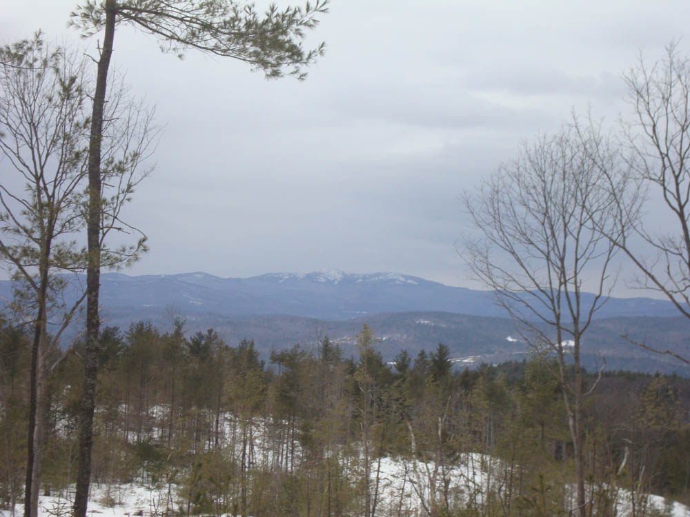
Another poor weather forecast, so I stayed local and bushwhacked through open woods up to the summit of Saddle Hill. While there were decent directional Lakes Region views from near the summit, I found much better views a bit west of the summit, courtesy a recently logged area. Views ranged from southern New Hampshire to the White Mountains.
| Hike Ratings |
|
Getting To Trailhead: |
Moderate |
| Destination: |
Saddle Hill |
|
Length: |
Easy |
|
Steepness: |
Moderate |
|
Navigation: |
Difficult |
|
Views: |
Excellent |
|
Crowds: |
Minimal |
|
| Hike Stats |
|
Date Hiked: |
Thursday, March 31, 2011 |
| Parking Elevation: |
1,000' |
| Time to Trailhead: |
00:04 |
| Destination: |
Saddle Hill |
| Time Elapsed: |
00:09 |
| Trailhead Elevation: |
1,070' |
| Summit Elevation: |
1,310' |
| Vertical Gain: |
250' |
|
|
| Hike Time Elapsed: |
00:54 |
| Hike Vertical Gain: |
400' |
|
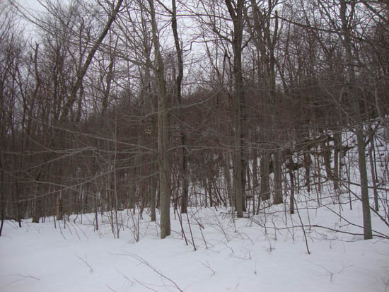
The start of the bushwhack at the first height of land on Saddle Hill Road
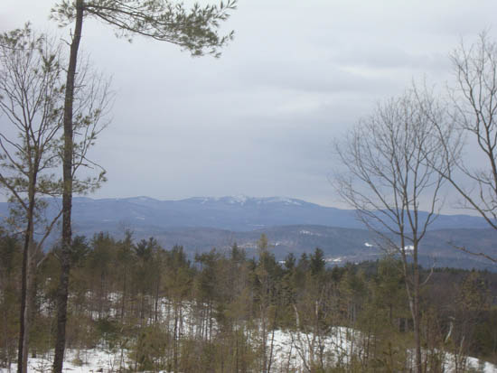
Looking at Mt. Cardigan from the logged area on Saddle Hill

Directions to trailhead: From Exit 23 of I-93, take Route 104 east. After a few minutes, take a right onto Sinclair Hill Road. Bear left/straight onto Pinnacle Hill road at two junctions. Pinnacle Hill Road will become Edgerly School Road. In winter, Saddle Hill Road is not plowed. There is minimal space to park on the side of Edgerly School Road at the sharp left turn/junction with Saddle Hill Road.
Back to Saddle Hill Profile
|