Home
States
Colorado
Connecticut
Maine
Massachusetts
New Hampshire
New York
Rhode Island
Utah
Vermont
View All
Lists
NE 4,000 Footers
NE 100 Highest
NH 4,000 Footers
NH 100 Highest
NH 52 With A View
NH Belknap Range
NH Ossipee 10
Links
Trail Conditions
Trip Log
Sunrises
Sunsets
About
|
Sanbornton Mountain
New Hampton, NH, Sanbornton, NH
Trailheads, measurements, times, distances, and maps are all approximate and relative to the hike(s) as shown below.
Bushwhacking to Sanbornton Mountain
Route: Mountain Road, snowmobile trail, bushwhack, (Sanbornton Mountain)
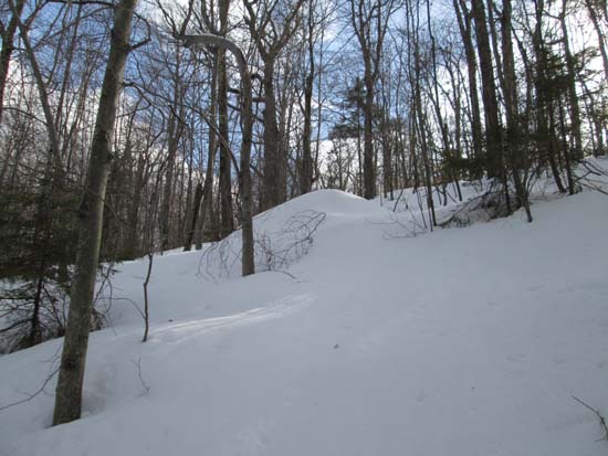
Started up Mountain Road on snowshoes, soon reaching a groomed snowmobile corridor around 1,000 feet in elevation. I then headed southwest toward the eastern peak of Sanbornton Mountain in generally open woods on spring snow, sinking in maybe 3 inches. I then redirected toward the main peak prior to reaching a band of softwood, dropping a bit too low into thick hardwood saplings (on return trip, I avoided this by going slightly more uphill toward col).
The top of the peak had some open areas, however views were obstructed by tree growth. Some of the western facing slopes had a slight frozen granular crust. Overall, the recent snow had turned to granular, making it not sticky.
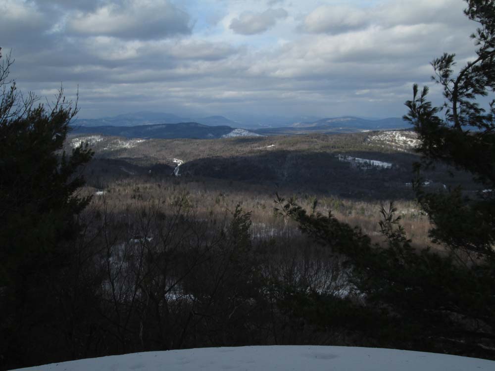
I then dropped down toward a small knob on the north-northeast side of the summit (maybe 500 linear feet away), which had an excellent directional viewpoint atop a small cliff, looking at the Ossipees, Red Hill, the Sandwich Range, and toward the Waterville area peaks.
| Hike Ratings |
|
Getting To Trailhead: |
Difficult |
| Destination: |
Sanbornton Mountain |
|
Length: |
Moderate |
|
Steepness: |
Difficult |
|
Navigation: |
Difficult |
|
Views: |
Excellent |
|
Crowds: |
Minimal |
|
| Hike Stats |
|
Date Hiked: |
Friday, March 21, 2014 |
| Parking Elevation: |
870' |
| Time to Trailhead: |
00:03 |
| Destination: |
Sanbornton Mountain |
| Time Elapsed: |
00:49 |
| Trailhead Elevation: |
900' |
| Summit Elevation: |
1,607' |
| Vertical Gain: |
757' |
|
|
| Hike Time Elapsed: |
02:00 |
| Hike Vertical Gain: |
837' |
|
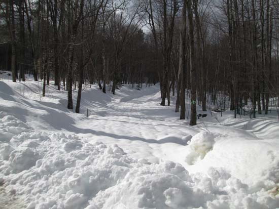
The start of the unplowed portion of Mountain Road

Looking at northeast from near the summit of from Sanbornton Mountain
Directions to trailhead: From I-93 in Sanbornton, take 127 North to Gaza, then take a left onto Route 132 North. Take a left onto Hale Road, then take a right onto Mountain Road. In winter it may be hard to find a place to park.
Back to Sanbornton Mountain Profile
|