Home
States
Colorado
Connecticut
Maine
Massachusetts
New Hampshire
New York
Rhode Island
Utah
Vermont
View All
Lists
NE 4,000 Footers
NE 100 Highest
NH 4,000 Footers
NH 100 Highest
NH 52 With A View
NH Belknap Range
NH Ossipee 10
Links
Trail Conditions
Trip Log
Sunrises
Sunsets
About
|
Signal Hill
Lebanon, NH
Trailheads, measurements, times, distances, and maps are all approximate and relative to the hike(s) as shown below.
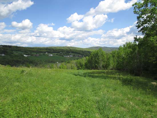
Looking down the field portion of the Signal Hill Trail
Route: Signal Hill Trail
Debatable as to whether or not this would be considered the highpoint of Signal Hill (there is a knob to the northwest that is higher...access road to it from Steven road is posted). First half of the trail is in open fields - lots of ticks. Trail then ducks into the woods and ascends to the south summit meadow via a grassy wood road. Limited views from the summit toward Vermont.
| Hike Ratings |
|
Getting To Trailhead: |
Easy |
| Destination: |
Signal Hill |
|
Length: |
Easy |
|
Steepness: |
Moderate |
|
Navigation: |
Easy |
|
Views: |
Excellent |
|
Crowds: |
Minimal |
|
| Hike Stats |
|
Date Hiked: |
Sunday, May 25, 2014 |
| Parking Elevation: |
990' |
| Destination: |
Signal Hill |
| Time Elapsed: |
00:14 |
| Trailhead Elevation: |
990' |
| Summit Elevation: |
1,299' |
| Vertical Gain: |
359' |
|
|
| Hike Time Elapsed: |
00:33 |
| Hike Vertical Gain: |
409' |
|
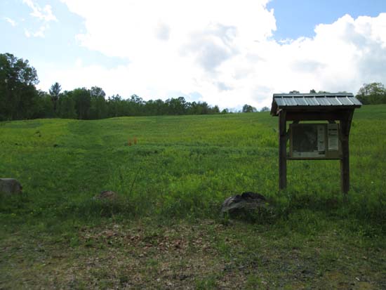
The Signal Hill Trail trailhead
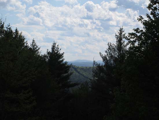
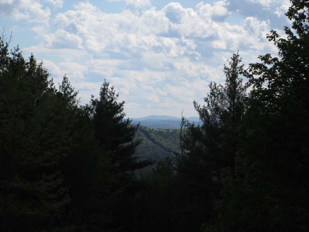
Slight views into Vermont from Signal Hill
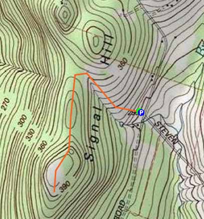

Directions to trailhead: From US 4 near Mascoma Lake east of Lebanon, take Sunset Rock Road west, then eventually continue across Hardy Hill Road onto Stevens Road. The Signal Ridge trailhead and small parking area will eventually be on the left, above the Alden Road-Stevens Road junction.
Back to Signal Hill Profile
|