Home
States
Colorado
Connecticut
Maine
Massachusetts
New Hampshire
New York
Rhode Island
Utah
Vermont
View All
Lists
NE 4,000 Footers
NE 100 Highest
NH 4,000 Footers
NH 100 Highest
NH 52 With A View
NH Belknap Range
NH Ossipee 10
Links
Trail Conditions
Trip Log
Sunrises
Sunsets
About
|
Silver Mountain
Lempster, NH
Trailheads, measurements, times, distances, and maps are all approximate and relative to the hike(s) as shown below.
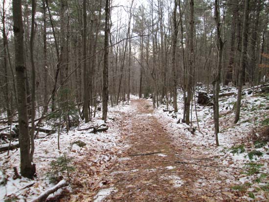
Looking down the Silver Mountain Trail
Route: Silver Mountain Trail
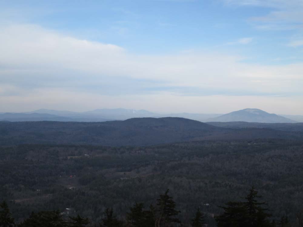
Trail had a coating of snow/granular/ice pretty much top to bottom and a few minor ice bulges, but nothing requiring the use of traction. Very nice open summit with views in nearly all directions (except to the north, fortunately, as there's a wind farm in that direction).
| Hike Ratings |
|
Getting To Trailhead: |
Easy |
| Destination: |
Silver Mountain |
|
Length: |
Easy |
|
Steepness: |
Easy |
|
Navigation: |
Easy |
|
Views: |
Excellent |
|
Crowds: |
Minimal |
|
| Hike Stats |
|
Date Hiked: |
Saturday, November 22, 2014 |
| Parking Elevation: |
1,720' |
| Destination: |
Silver Mountain |
| Time Elapsed: |
00:12 |
| Trailhead Elevation: |
1,720' |
| Summit Elevation: |
2,160' |
| Vertical Gain: |
540' |
|
|
| Hike Time Elapsed: |
00:33 |
| Hike Vertical Gain: |
540' |
|
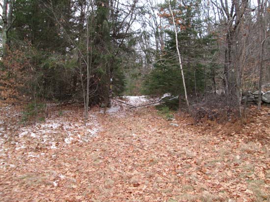
The Silver Mountain Trail trailhead

Looking at Killington and Ascutney from Silver Mountain
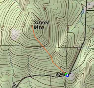

Directions to trailhead: From Route 10 in East Lempster, take Lempster Mountain Road southeast over the height of land, then take a right onto South Road. Continue past the last house on the road (not maintained beyond this point in winter). The Ashuelot River Headwaters Forest parking lot will eventually be on the left. The Silver Mountain Trail trailhead is on the opposite side of the road, to the left of the house.
Back to Silver Mountain Profile
|