Home
States
Colorado
Connecticut
Maine
Massachusetts
New Hampshire
New York
Rhode Island
Utah
Vermont
View All
Lists
NE 4,000 Footers
NE 100 Highest
NH 4,000 Footers
NH 100 Highest
NH 52 With A View
NH Belknap Range
NH Ossipee 10
Links
Trail Conditions
Trip Log
Sunrises
Sunsets
About
|
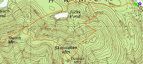
Skatutakee Mountain, Thumb Mountain
Hancock, NH
Trailheads, measurements, times, distances, and maps are all approximate and relative to the hike(s) as shown below.
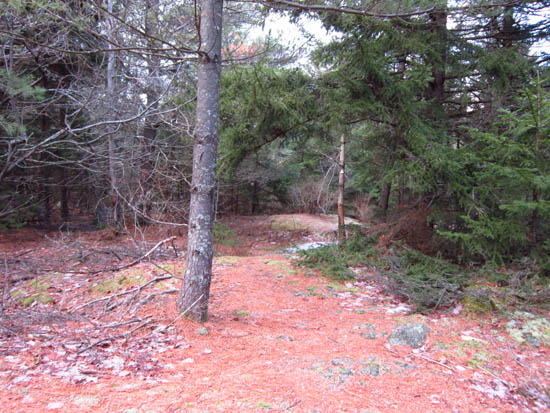
The upper Harriskat Trail
Route: Harriskat Trail, (Skatutakee Mountain), Thumps Up Trail, (Thumb Mountain), Thumps Up Trail, Thumbs Down Trail, Harriskat Trail
With less than optimal weather in the Whites, I decided to head south to escape the (marginal) snow.
With the exception of some blue ice in the upper elevations, the loop over Skatutakee Mountain and Thumb Mountain was generally snow free and dry. While Skatutakee's ledgy summit had some decent directional views, Thumb Mountain's viewpoint seemed to provide nicer ones.
| Hike Ratings |
|
Getting To Trailhead: |
Easy |
| Destination: |
Skatutakee Mountain |
|
Length: |
Moderate |
|
Steepness: |
Moderate |
|
Navigation: |
Easy |
|
Views: |
Excellent |
|
Crowds: |
Minimal |
| Destination: |
Thumb Mountain |
|
Length: |
Moderate |
|
Steepness: |
Difficult |
|
Navigation: |
Easy |
|
Views: |
Excellent |
|
Crowds: |
Minimal |
|
| Hike Stats |
|
Date Hiked: |
Monday, January 2, 2012 |
| Parking Elevation: |
1,320' |
| Destination: |
Skatutakee Mountain |
| Time Elapsed: |
00:35 |
| Trailhead Elevation: |
1,310' |
| Summit Elevation: |
1,998' |
| Vertical Gain: |
738' |
| Destination: |
Thumb Mountain |
| Time Elapsed: |
00:25 |
| Trailhead Elevation: |
1,998' |
| Summit Elevation: |
1,978' |
| Vertical Gain: |
208' |
|
|
| Hike Time Elapsed: |
02:06 |
| Hike Vertical Gain: |
1,006' |
|
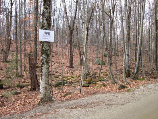
Harriskat Trail trailhead on King's Highway

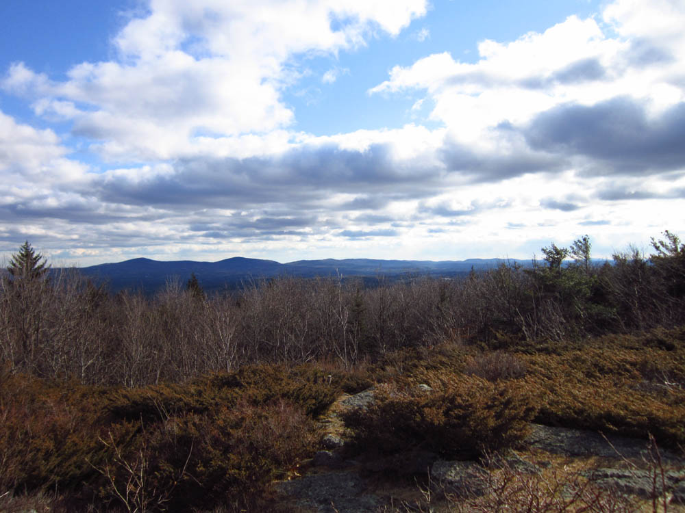
Looking at the Wapack Range from Skatutakee Mountain
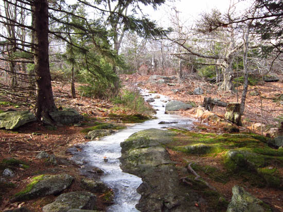
The Thumbs Up Trail between the peaks
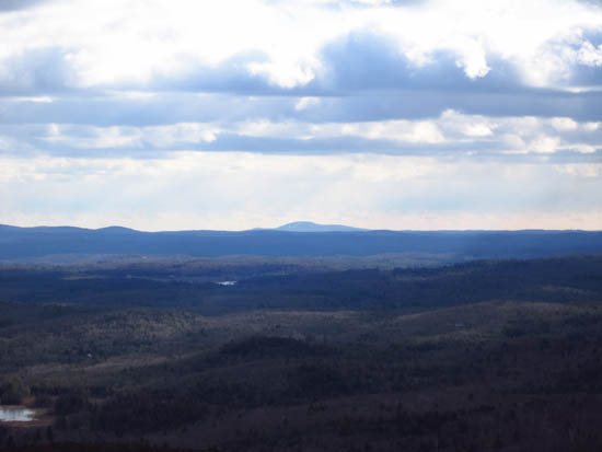
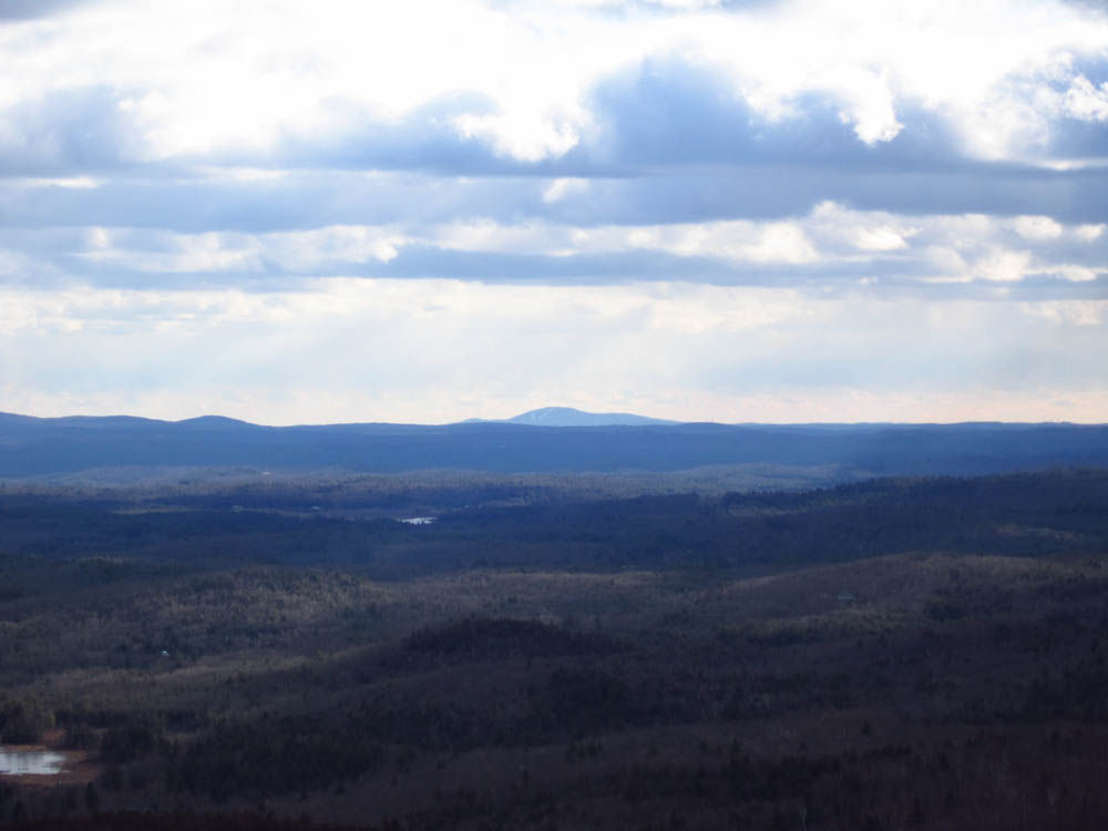
Wachusett Mountain as seen from the Thumb Mountain vista
 ' '

Directions to trailhead: From Route 123 in Hancock, take Hunt's Pond Road. Take a left onto King's Highway. The Harris Center will eventually be on the left, with multiple parking lots (offset from the road). The Harriskat Trail is across King's Highway from the Harris Center.
Back to Skatutakee Mountain Profile
Back to Thumb Mountain Profile
|