Home
States
Colorado
Connecticut
Maine
Massachusetts
New Hampshire
New York
Rhode Island
Utah
Vermont
View All
Lists
NE 4,000 Footers
NE 100 Highest
NH 4,000 Footers
NH 100 Highest
NH 52 With A View
NH Belknap Range
NH Ossipee 10
Links
Trail Conditions
Trip Log
Sunrises
Sunsets
About
|
South Doublehead, North Doublehead
Jackson, NH
Trailheads, measurements, times, distances, and maps are all approximate and relative to the hike(s) as shown below.
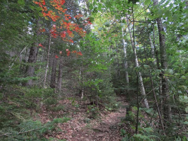
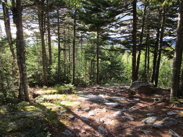
Looking up the Old Path on the way to South Doublehead
Route: Doublehead Ski Trail, Old Path, New Path, (South Doublehead), New Path, (North Doublehead), Doublehead Ski Trail
Trails were mostly dry.
The new-ish access trail is getting worn in, but I was surprised at the rocks and stumps on it, as it seems like it would take almost two feet of snowpack to cover it all up. A few days with a rock bar and shovel would go a long way to make it as smooth as the original trail above.
Doublehead Ski Trail is a good option for those who feel the need to "social distance," since it is more than twice as wide as a hiking trail.
Amazed at how much less use the trail over to South Doublehead received as compared to those on North Doublehead, despite the superior views on the former.
Early fall weather with cooler temperatures and strong breezes. Very cloudy to the west and north, but partly sunny here. A few trees have begun to change color.
| Hike Ratings |
|
Getting To Trailhead: |
Easy |
| Destination: |
South Doublehead |
|
Length: |
Moderate |
|
Steepness: |
Difficult |
|
Navigation: |
Easy |
|
Views: |
Excellent |
|
Crowds: |
Heavy |
| Destination: |
North Doublehead |
|
Length: |
Moderate |
|
Steepness: |
Difficult |
|
Navigation: |
Easy |
|
Views: |
Excellent |
|
Crowds: |
Heavy |
|
| Hike Stats |
|
Date Hiked: |
Sunday, August 30, 2020 |
| Parking Elevation: |
1,510' |
| Destination: |
South Doublehead |
| Time Elapsed: |
00:58 |
| Trailhead Elevation: |
1,510' |
| Summit Elevation: |
2,939' |
| Vertical Gain: |
1,449' |
| Destination: |
North Doublehead |
| Time Elapsed: |
00:25 |
| Trailhead Elevation: |
2,939' |
| Summit Elevation: |
3,053' |
| Vertical Gain: |
353' |
|
|
| Hike Time Elapsed: |
02:25 |
| Hike Vertical Gain: |
1,842' |
|
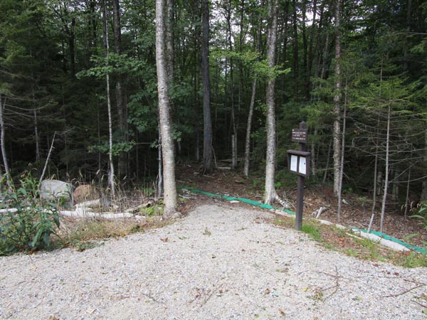
The Doublehead Ski Trail trailhead
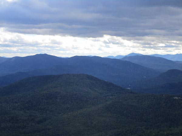
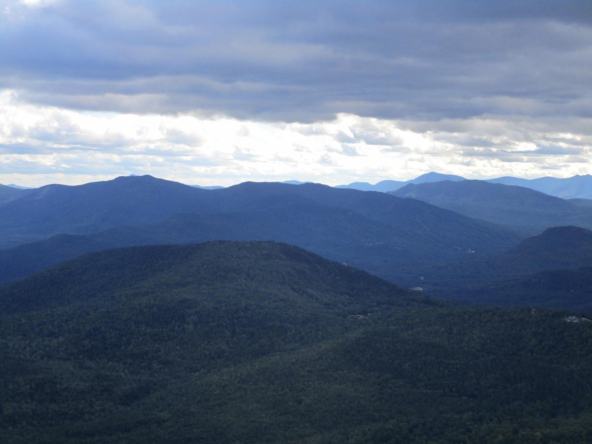
Looking Thorn Mountain from near the South Doublehead summit

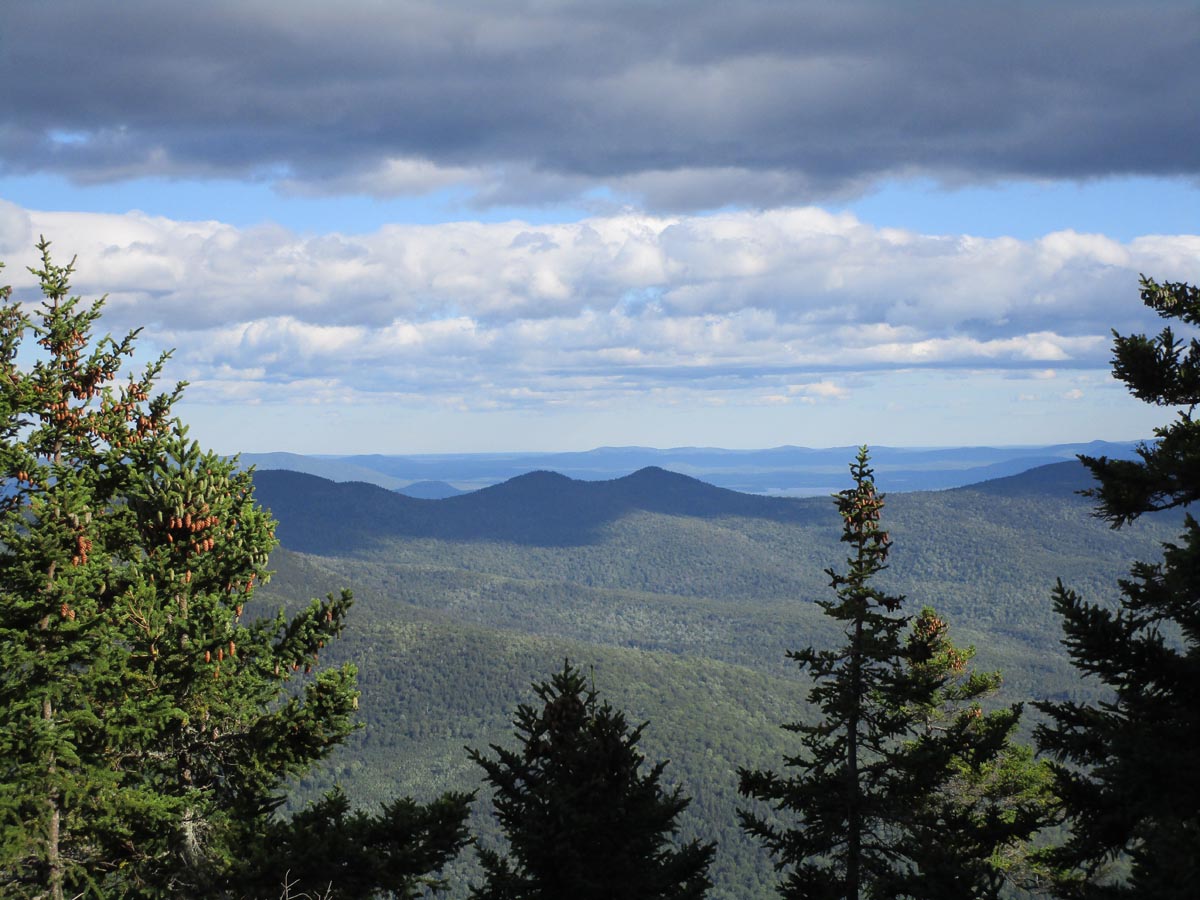
Looking at the Twins from near the summit of North Doublehead
Descending the Doublehead Ski Trail
Directions to trailhead: Take Route 16 North to Jackson, then take 16A past Black Mountain Ski Area. Just after the ski area, take a right onto Dundee Road. Shortly after passing a private drive (the former trailhead), the Doublehead parking lot will be on the left. The trailhead is located toward the back of the parking lot.
Back to South Doublehead Profile
Back to North Doublehead Profile
|