Home
States
Colorado
Connecticut
Maine
Massachusetts
New Hampshire
New York
Rhode Island
Utah
Vermont
View All
Lists
NE 4,000 Footers
NE 100 Highest
NH 4,000 Footers
NH 100 Highest
NH 52 With A View
NH Belknap Range
NH Ossipee 10
Links
Trail Conditions
Trip Log
Sunrises
Sunsets
About
|
South Moat Mountain
Albany, NH
Trailheads, measurements, times, distances, and maps are all approximate and relative to the hike(s) as shown below.
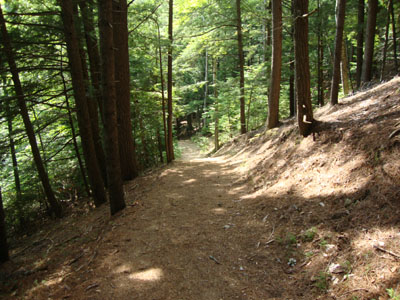
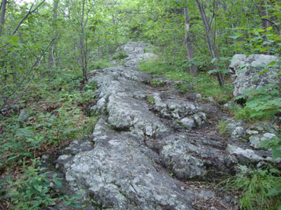
Looking down the lower Moat Mountain Trail
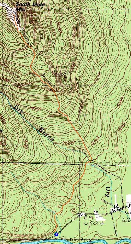
Route: Moat Mountain Trail
Having not been to any of the Moats in awhile, I decided to head up to South Moat on what was originally forecasted to be a nice day.
It was hot and humid from the start. Nonetheless, I was able to jog the first twenty minutes or so, changing to a walking pace when I left the newer reroute of the trail.
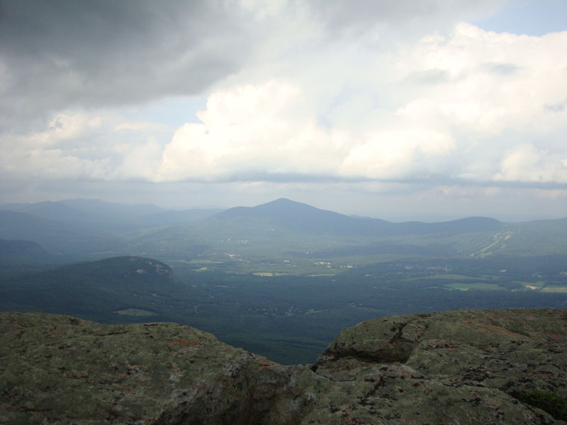
The ledges were a bit slippery but passable. The bugs weren't too bad, fortunately. Reaching the summit, I had decent views in all directions, though the higher peaks to the north were hiding in the clouds. Shortly after reaching the highpoint, the rain started (despite hearing on the radio that there was no chance of rain - one of the few times I've heard that statement!). With the warm temperatures, it wasn't unwelcome.
I took my time with the descent due to the slippery conditions, jogging the smooth reroute back to the trailhead.
| Hike Ratings |
|
Getting To Trailhead: |
Easy |
| Destination: |
South Moat Mountain |
|
Length: |
Moderate |
|
Steepness: |
Difficult |
|
Navigation: |
Moderate |
|
Views: |
Excellent |
|
Crowds: |
Moderate |
|
| Hike Stats |
|
Date Hiked: |
Thursday, July 15, 2010 |
| Hike Commenced: |
3:33 PM |
| Parking Elevation: |
650' |
| Destination: |
South Moat Mountain |
| Ascent Commenced: |
3:33 PM |
| Summit Reached: |
4:40 PM |
| Time Elapsed: |
01:07 |
| Trailhead Elevation: |
650' |
| Summit Elevation: |
2,770' |
| Distance: |
2.7 miles |
| Vertical Gain: |
2,235' |
|
|
| Hike Ended: |
6:14 PM |
| Hike Time Elapsed: |
02:41 |
| Hike Distance: |
5.4 miles |
| Hike Vertical Gain: |
2,350' |
|
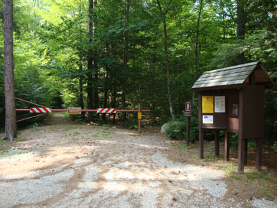
Moat Mountain Trail trailhead
Looking up the Moat Mountain Trail
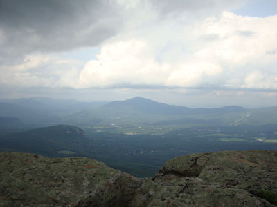
Looking at Kearsarge North Mountain from South Moat Mountain
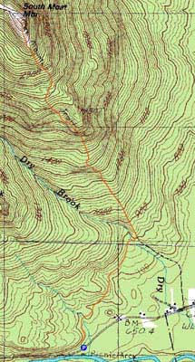

Directions to trailhead: Take Route 16 North into Conway. Take a left at the first set of downtown lights onto West Side Road. Soon after, take a left onto Passaconaway Road. A few minutes down the road, the Moat Mountain Trail trailhead and WMNF fee parking area will be on the right. If you pass the picnic area on your left, you've gone just a little bit too far.
Back to South Moat Mountain Profile
|