Home
States
Colorado
Connecticut
Maine
Massachusetts
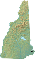
New Hampshire
New York
Rhode Island
Utah
Vermont
View All
Lists
NE 4,000 Footers
NE 100 Highest
NH 4,000 Footers
NH 100 Highest
NH 52 With A View
NH Belknap Range
NH Ossipee 10
Links
Trail Conditions
Trip Log
Sunrises
Sunsets
About
|
Stratham Hill
Stratham, NH
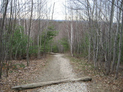
Trail to Stratham Hill summit
 Summary Summary
Stratham Hill features a convertered fire tower and is a short, easy hike. This hill has a long tradition of recreation, ranging from a lost ski area to current sports fields at it's base.
Summit Elevation
288 feet
Summit Facilities
Firetower.
Trip Reports:
Click on the date for photos, timestamps, and maps.
More Information
Stratham Hill Park
Stratham - New England Lost Ski Areas Project
|
