Home
States
Colorado
Connecticut
Maine
Massachusetts
New Hampshire
New York
Rhode Island
Utah
Vermont
View All
Lists
NE 4,000 Footers
NE 100 Highest
NH 4,000 Footers
NH 100 Highest
NH 52 With A View
NH Belknap Range
NH Ossipee 10
Links
Trail Conditions
Trip Log
Sunrises
Sunsets
About
|
Sunday Mountain
Orford, NH
Trailheads, measurements, times, distances, and maps are all approximate and relative to the hike(s) as shown below.

The Cross-Rivendell Trail
Route: Cross Rivendell Trail, summit spur
Generally a tame trail with good footing, though not obvious (aside from blazes) in many places due to lack of airway/footbed. Okay view from the shoulder, but not much to see from around the summit.
| Hike Ratings |
|
Getting To Trailhead: |
Easy |
| Destination: |
Sunday Mountain |
|
Length: |
Moderate |
|
Steepness: |
Moderate |
|
Navigation: |
Easy |
|
Views: |
Minimal |
|
Crowds: |
Minimal |
|
| Hike Stats |
|
Date Hiked: |
Monday, June 2, 2012 |
| Parking Elevation: |
1,380' |
| Destination: |
Sunday Mountain |
| Time Elapsed: |
00:37 |
| Trailhead Elevation: |
750' |
| Summit Elevation: |
1,823' |
| Distance: |
1.8 miles |
| Vertical Gain: |
1,113' |
|
|
| Hike Time Elapsed: |
01:18 |
| Hike Distance: |
3.6 miles |
| Hike Vertical Gain: |
1,153' |
|

The Cross-Rivendell trailhead on Norris

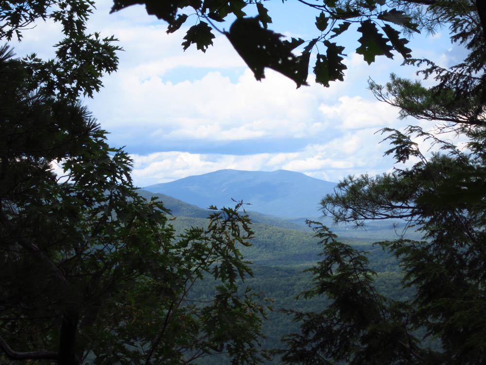
Slight views of Mt. Moosilauke through the trees near the summit of Sunday Mountain


Directions to trailhead: Take Route 25A West from Baker Road/Mt. Cube. Take a right onto Dame Road, then take another right onto Indian Pond Road. Take a left onto Archertown Road. Take a left onto Norris Road. The Cross Rivendell Trail trailhead will eventually be on the left, just prior to a driveway. There is minimal room to park on the side of the road.
Back to Sunday Mountain Profile
|