Home
States
Colorado
Connecticut
Maine
Massachusetts
New Hampshire
New York
Rhode Island
Utah
Vermont
View All
Lists
NE 4,000 Footers
NE 100 Highest
NH 4,000 Footers
NH 100 Highest
NH 52 With A View
NH Belknap Range
NH Ossipee 10
Links
Trail Conditions
Trip Log
Sunrises
Sunsets
About
|
Sunday Mountain
Orford, NH
Trailheads, measurements, times, distances, and maps are all approximate and relative to the hike(s) as shown below.

The Cross-Rivendell Trail
Route: Cross Rivendell Trail, summit spur
Trail was mostly dry. Some logging activity near the top of the woods/logging road, though not affecting trail.
Generally tame grades and decent footing, but I think the other (Norris) side is a nicer walk. Wish there were better views from the summit.
| Hike Ratings |
|
Getting To Trailhead: |
Easy |
| Destination: |
Sunday Mountain |
|
Length: |
Moderate |
|
Steepness: |
Moderate |
|
Navigation: |
Easy |
|
Views: |
Minimal |
|
Crowds: |
Minimal |
|
| Hike Stats |
|
Date Hiked: |
Tuesday, August 14, 2012 |
| Parking Elevation: |
1,039' |
| Destination: |
Sunday Mountain |
| Time Elapsed: |
00:30 |
| Trailhead Elevation: |
1,060' |
| Summit Elevation: |
1,823' |
| Distance: |
1.8 miles |
| Vertical Gain: |
1,103' |
|
|
| Hike Time Elapsed: |
01:04 |
| Hike Distance: |
4 miles |
| Hike Vertical Gain: |
1,203' |
|

The Cross-Rivendell trailhead on Norris

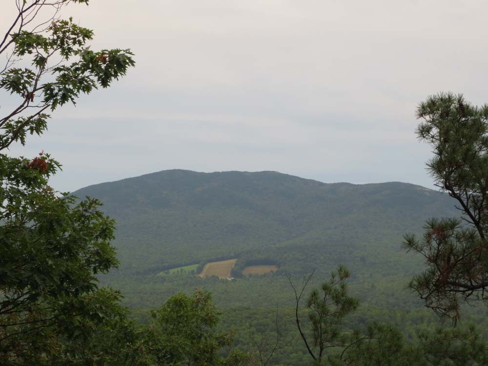
Mt. Cube as seen from the Cross-Rivendell Trail below the summit spur junction
Directions to trailhead: Take Route 25A West from Baker Road/Mt. Cube. Take a right onto Dame Road, then an immediate right into the parking area. Continue on foot on Dame Road, then take a right onto Indian Pond Road. The Cross Rivendell Trail departs from Indian Pond Road shortly thereafter on the left, at the corner of a corn field.
Back to Sunday Mountain Profile
|