Home
States
Colorado
Connecticut
Maine
Massachusetts
New Hampshire
New York
Rhode Island
Utah
Vermont
View All
Lists
NE 4,000 Footers
NE 100 Highest
NH 4,000 Footers
NH 100 Highest
NH 52 With A View
NH Belknap Range
NH Ossipee 10
Links
Trail Conditions
Trip Log
Sunrises
Sunsets
About
|
Vose Spur
Livermore, NH
Trailheads, measurements, times, distances, and maps are all approximate and relative to the hike(s) as shown below.
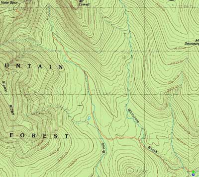
The Carrigain Notch Trail
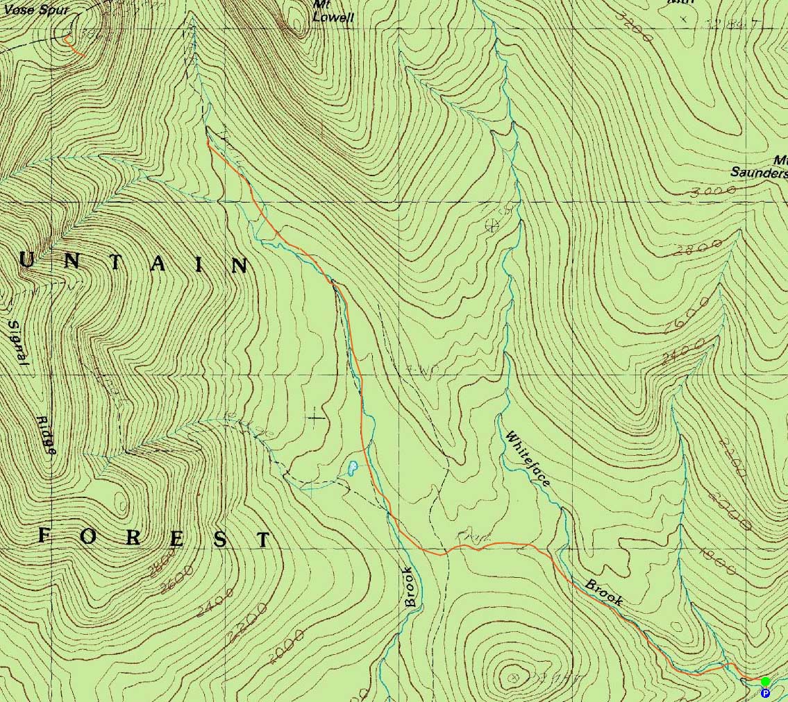
Route: Signal Ridge Trail, Carrigain Notch Trail, bushwhack, herd path, (Vose Spur), herd path, bushwhack, Carrigain Notch Trail, Signal Ridge Trail
With yet another hot day, we decided to stay in the woods and go for Vose Spur.
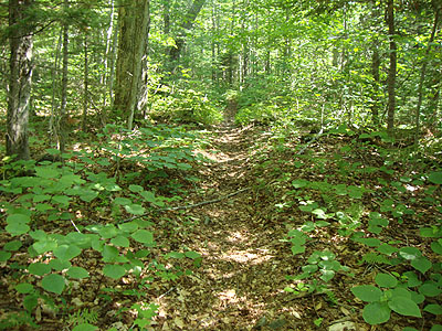
Starting on the Signal Ridge Trail, the temperature was already rising. Upon reaching the Carrigain Notch Trail crossing, we took an extended break at cool brook.
Reaching the large boulder with the stepping stones around it, we looked around for a place to push into the woods. In hindsight, we would have backtracked a bit from this, as the terrain near it was a bit steep and sprucy. Nonetheless, we eventually found the herdpath prior to the scree field.
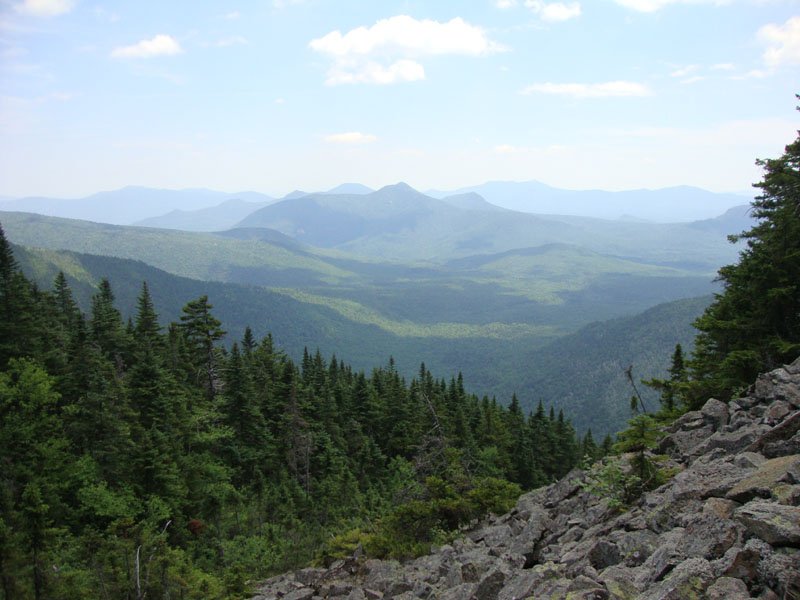
The views from the scree field were superb, even with the hazy weather. While it was tempting to spend extra time here, it was a hot place. Thus, we moved on.
Above here, the herd path became very steep with a few scrambles. Eventually reaching the wooded summit, we took an extended snack break.
On the way down, we opted to avoid some of the steeps on the upper herdpath by pushing left and emerging at the very top of the scree field, then cutting across it back to the herd path.
Back at the lowest Carrigain Notch water crossing, we took another extended cool down break.
| Hike Ratings |
|
Getting To Trailhead: |
Easy |
| Destination: |
Vose Spur |
|
Length: |
Difficult |
|
Steepness: |
Very Difficult |
|
Navigation: |
Difficult |
|
Views: |
Minimal |
|
Crowds: |
Moderate |
|
| Hike Stats |
|
Date Hiked: |
Monday, July 5, 2010 |
| Hike Commenced: |
8:12 AM |
| Parking Elevation: |
1,370' |
| Destination: |
Vose Spur |
| Ascent Commenced: |
8:13 AM |
| Summit Reached: |
12:39 PM |
| Time Elapsed: |
04:26 |
| Trailhead Elevation: |
1,370' |
| Summit Elevation: |
3,862' |
| Vertical Gain: |
2,617' |
|
|
| Hike Ended: |
4:13 PM |
| Hike Time Elapsed: |
08:01 |
| Hike Vertical Gain: |
2,742' |
|
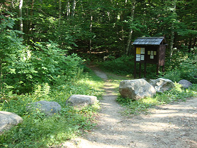
Signal Ridge Trail trailhead on Sawyer River Road
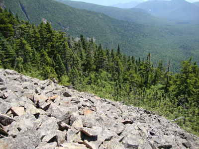
Looking down the scree field on the way to Vose Spur

Looking at Mt. Tremont from near the top of the traprock field on Vose Spur

Directions to trailhead: Take Route 302 West from Bartlett to Sawyer River Road. WMNF fee parking lot is a few minutes up the dirt road on the left. Trailhead is across the road.
Back to Vose Spur Profile
|