Home
States
Colorado
Connecticut
Maine
Massachusetts
New Hampshire
New York
Rhode Island
Utah
Vermont
View All
Lists
NE 4,000 Footers
NE 100 Highest
NH 4,000 Footers
NH 100 Highest
NH 52 With A View
NH Belknap Range
NH Ossipee 10
Links
Trail Conditions
Trip Log
Sunrises
Sunsets
About
|
Welch Mountain, Dickey Mountain
Thornton, NH, Waterville Valley, NH
Trailheads, measurements, times, distances, and maps are all approximate and relative to the hike(s) as shown below.
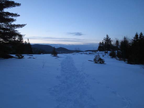
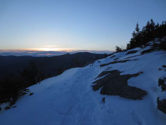
Heading up the Welch-Dickey Loop Trail to Welch Mountain
Route: Welch-Dickey Loop Trail, (Welch Mountain), Welch-Dickey Loop Trail, (Dickey Mountain), Welch-Dickey Loop Trail
Not nearly as much snow here as on Mt. Major yesterday.
Maybe 2-3" of new snow with no base under it in the initial lower elevations. New snow depths appear to top out around 6-8" higher up with a few deeper drifts. There is more snowpack in the woods up high, especially between the peaks, but still not as much as Mt. Major.
There's some black and blue ice to contend with on the ledges, but I was able to bareboot the whole loop. Good idea to carry Microspikes, as there is some ice lurking underneath the snow in a few places coming off Dickey.
| Hike Ratings |
|
Getting To Trailhead: |
Easy |
| Destination: |
Welch Mountain |
|
Length: |
Moderate |
|
Steepness: |
Difficult |
|
Navigation: |
Easy |
|
Views: |
Excellent |
|
Crowds: |
Minimal |
| Destination: |
Dickey Mountain |
|
Length: |
Moderate |
|
Steepness: |
Difficult |
|
Navigation: |
Easy |
|
Views: |
Excellent |
|
Crowds: |
Minimal |
|
| Hike Stats |
|
Date Hiked: |
Friday, March 22, 2013 |
| Parking Elevation: |
1,080' |
| Destination: |
Welch Mountain |
| Time Elapsed: |
01:00 |
| Trailhead Elevation: |
1,090' |
| Summit Elevation: |
2,605' |
| Distance: |
2 miles |
| Vertical Gain: |
1,545' |
| Destination: |
Dickey Mountain |
| Time Elapsed: |
00:13 |
| Trailhead Elevation: |
2,600' |
| Summit Elevation: |
2,734' |
| Distance: |
.5 mile |
| Vertical Gain: |
314' |
|
|
| Hike Time Elapsed: |
02:10 |
| Hike Distance: |
4.5 miles |
| Hike Vertical Gain: |
1,899' |
|
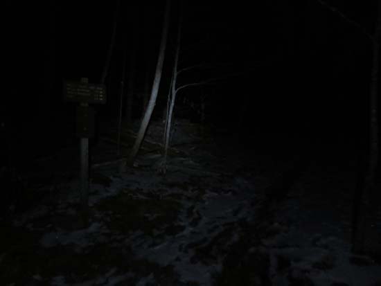
The Welch-Dickey Loop Trail trailhead
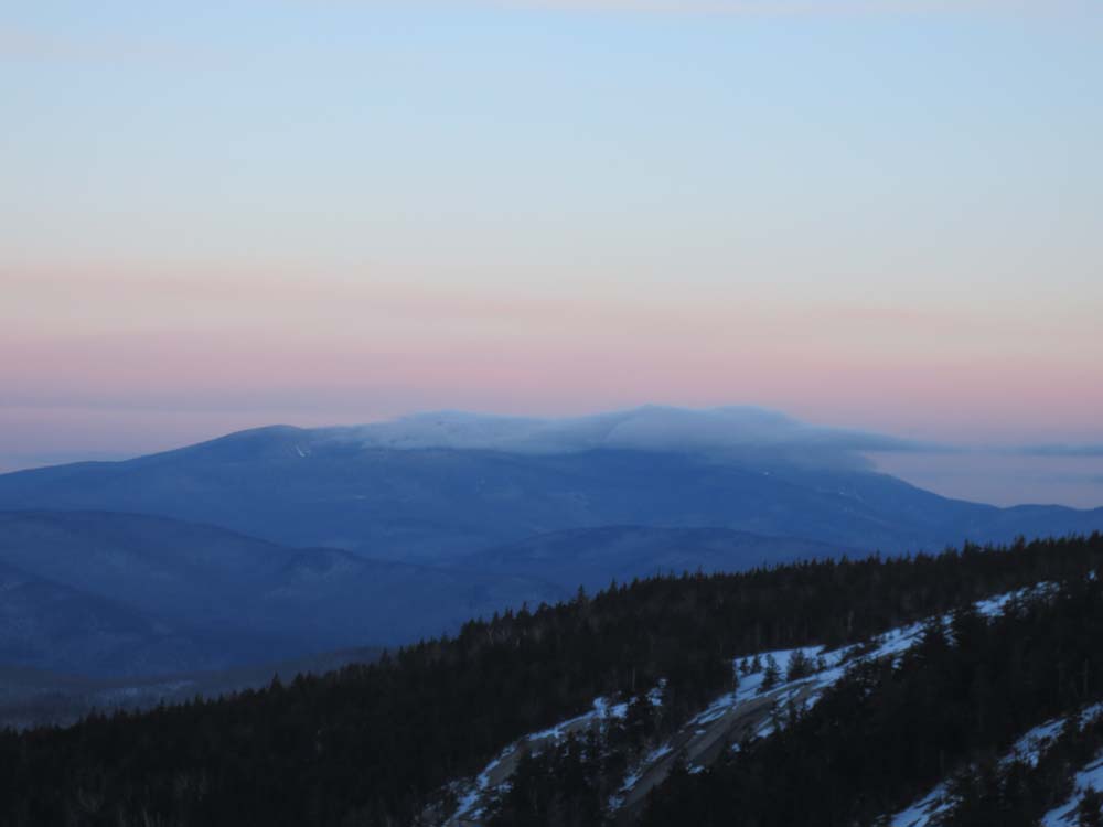
Mt. Moosilauke as seen from Welch Mountain
The Welch-Dickey Loop Trail
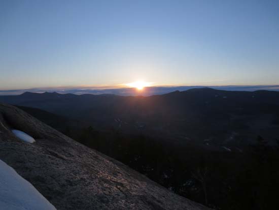
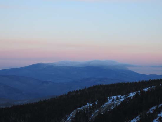
The Tripyramids and Sandwich Dome as seen from near the Dickey Mountain summit
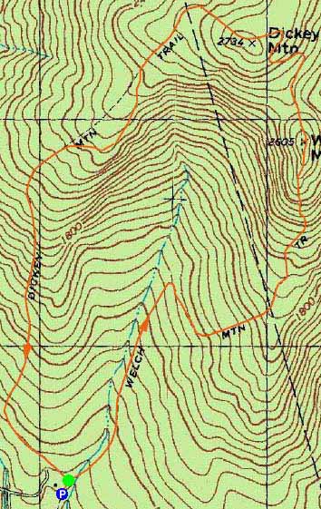

Directions to trailhead: Take Route 49 to Six Mile Bridge - take a left there and go up the hill. Take a right onto Orris Road. National Forest pay parking lot will be on the right after a short drive.
Back to Welch Mountain Profile
Back to Dickey Mountain Profile
|