Home
States
Colorado
Connecticut
Maine
Massachusetts
New Hampshire
New York
Rhode Island
Utah
Vermont
View All
Lists
NE 4,000 Footers
NE 100 Highest
NH 4,000 Footers
NH 100 Highest
NH 52 With A View
NH Belknap Range
NH Ossipee 10
Links
Trail Conditions
Trip Log
Sunrises
Sunsets
About
|
Welch Mountain, Dickey Mountain
Thornton, NH, Waterville Valley, NH
Trailheads, measurements, times, distances, and maps are all approximate and relative to the hike(s) as shown below.
Heading up the Welch-Dickey Loop Trail to Welch Mountain
Route: Welch-Dickey Loop Trail, (Welch Mountain), Welch-Dickey Loop Trail, (Dickey Mountain), Welch-Dickey Loop Trail
The wooded lower elevations were mostly dry with a dusting of snow and minimal ice. However, once you reach the ledges on either side, it was a different story. There were a few places with blue ice flow bulges, however the real concern at the moment was black ice. Slight melting during the day set up a lot of borderline invisible ice throughout the ledges. Some of the ice was very thin, patchy, and hard to see. Fortunately there was solid granite to break your fall. A few ledges had ice spanning the whole width.
There's enough dry ledge that you'll wear down your Microspikes. However, the ice was significant enough that barebooting was downright dangerous.
| Hike Ratings |
|
Getting To Trailhead: |
Easy |
| Destination: |
Welch Mountain |
|
Length: |
Moderate |
|
Steepness: |
Difficult |
|
Navigation: |
Easy |
|
Views: |
Excellent |
|
Crowds: |
Minimal |
| Destination: |
Dickey Mountain |
|
Length: |
Moderate |
|
Steepness: |
Difficult |
|
Navigation: |
Easy |
|
Views: |
Excellent |
|
Crowds: |
Minimal |
|
| Hike Stats |
|
Date Hiked: |
Wednesday, November 13, 2013 |
| Parking Elevation: |
1,080' |
| Destination: |
Welch Mountain |
| Time Elapsed: |
00:43 |
| Trailhead Elevation: |
1,090' |
| Summit Elevation: |
2,605' |
| Distance: |
2 miles |
| Vertical Gain: |
1,545' |
| Destination: |
Dickey Mountain |
| Time Elapsed: |
00:14 |
| Trailhead Elevation: |
2,600' |
| Summit Elevation: |
2,734' |
| Distance: |
.5 mile |
| Vertical Gain: |
314' |
|
|
| Hike Time Elapsed: |
01:53 |
| Hike Distance: |
4.5 miles |
| Hike Vertical Gain: |
1,899' |
|
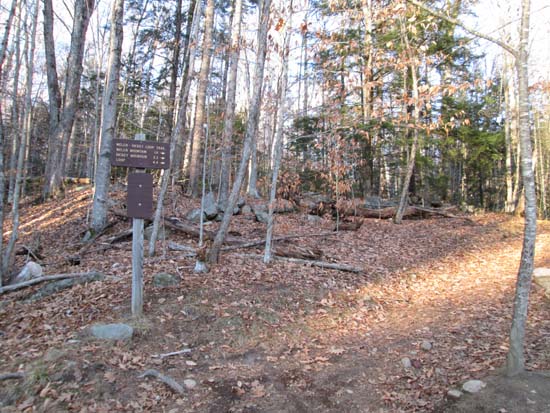
The Welch-Dickey Loop Trail trailhead
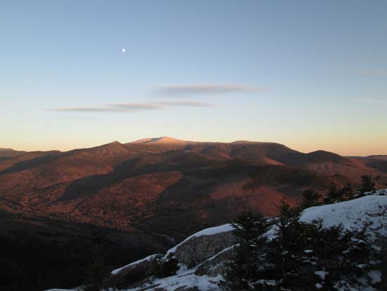
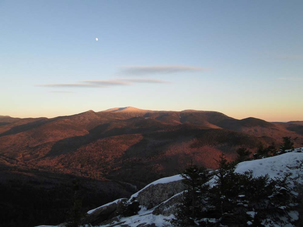
Looking at Sandwich Dome from Welch Mountain
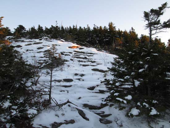
Winter between the peaks
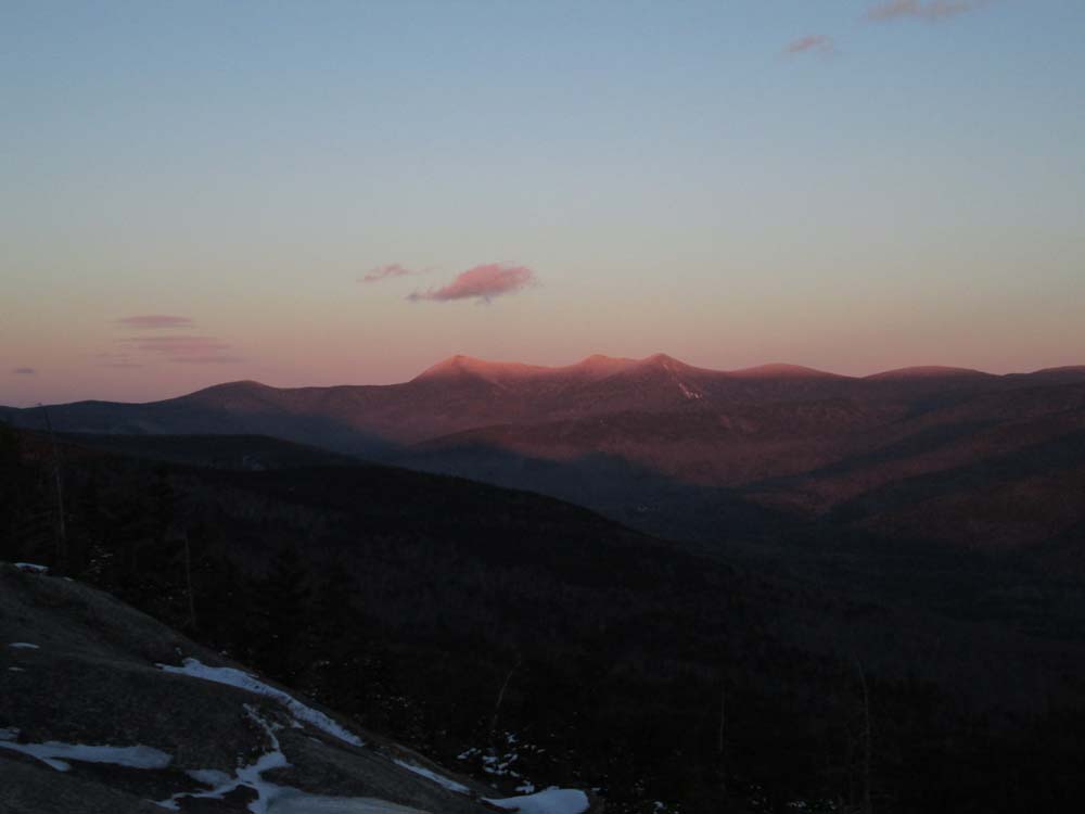
Looking at the Tripyramids from near the Dickey Mountain summit
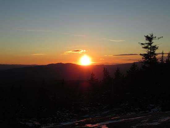
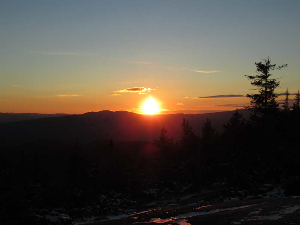
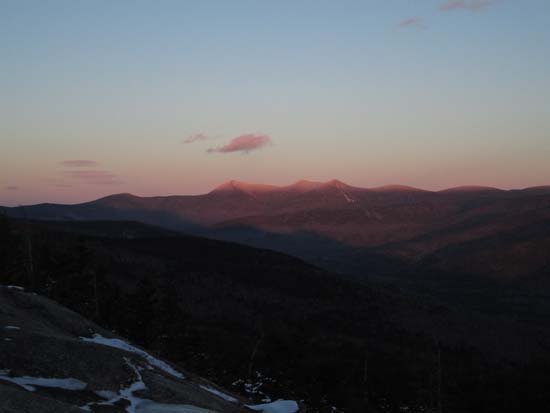
The sunset as seen from near the summit of Dickey Mountain
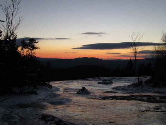
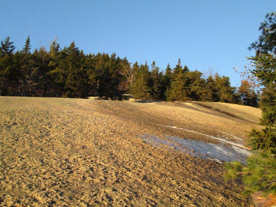
Ice skating rink on the Dickey ledges
Directions to trailhead: Take Route 49 to Six Mile Bridge - take a left there and go up the hill. Take a right onto Orris Road. National Forest pay parking lot will be on the right after a short drive.
Back to Welch Mountain Profile
Back to Dickey Mountain Profile
|