Home
States
Colorado
Connecticut
Maine
Massachusetts
New Hampshire
New York
Rhode Island
Utah
Vermont
View All
Lists
NE 4,000 Footers
NE 100 Highest
NH 4,000 Footers
NH 100 Highest
NH 52 With A View
NH Belknap Range
NH Ossipee 10
Links
Trail Conditions
Trip Log
Sunrises
Sunsets
About
|
Welch Mountain, Dickey Mountain
Thornton, NH, Waterville Valley, NH
Trailheads, measurements, times, distances, and maps are all approximate and relative to the hike(s) as shown below.
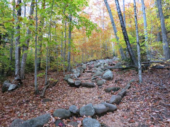
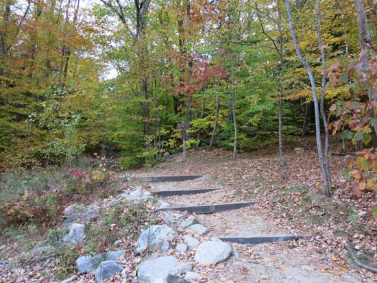
The Welch Dickey Loop Trail on the way Welch Mountain
Route: Welch-Dickey Loop Trail, (Welch Mountain), Welch-Dickey Loop Trail, (Dickey Mountain), Welch-Dickey Loop Trail
Trails and ledges were generally dry, though some rocks on the Welch side were moist/slippery. Leaves starting to accumulate on the Dickey side, making for slippery going in places. Foliage is past peak, but there were still some nice colors in places.
| Hike Ratings |
|
Getting To Trailhead: |
Easy |
| Destination: |
Welch Mountain |
|
Length: |
Moderate |
|
Steepness: |
Difficult |
|
Navigation: |
Easy |
|
Views: |
Excellent |
|
Crowds: |
Moderate |
| Destination: |
Dickey Mountain |
|
Length: |
Moderate |
|
Steepness: |
Difficult |
|
Navigation: |
Easy |
|
Views: |
Excellent |
|
Crowds: |
Minimal |
|
| Hike Stats |
|
Date Hiked: |
Tuesday, October 14, 2014 |
| Parking Elevation: |
1,080' |
| Destination: |
Welch Mountain |
| Time Elapsed: |
00:33 |
| Trailhead Elevation: |
1,090' |
| Summit Elevation: |
2,605' |
| Distance: |
2 miles |
| Vertical Gain: |
1,545' |
| Destination: |
Dickey Mountain |
| Time Elapsed: |
00:08 |
| Trailhead Elevation: |
2,600' |
| Summit Elevation: |
2,734' |
| Distance: |
.5 mile |
| Vertical Gain: |
314' |
|
|
| Hike Time Elapsed: |
01:22 |
| Hike Distance: |
4.5 miles |
| Hike Vertical Gain: |
1,899' |
|
The Welch-Dickey Loop Trail trailhead

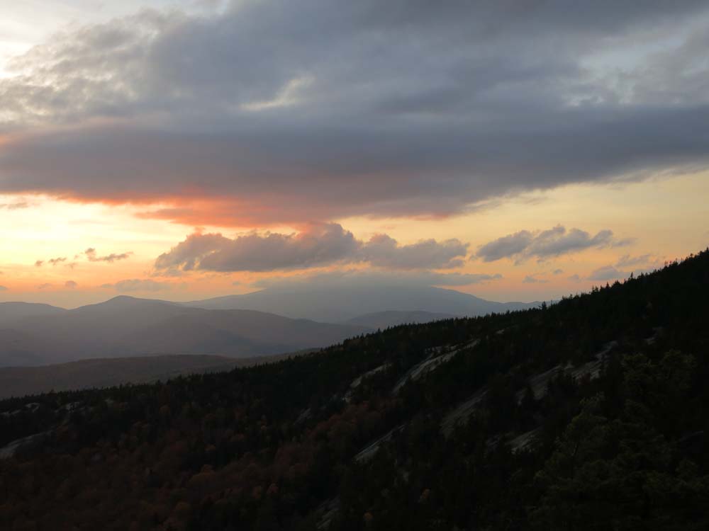
Looking at Mt. Moosilauke from Welch Mountain
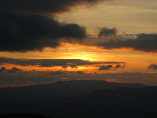
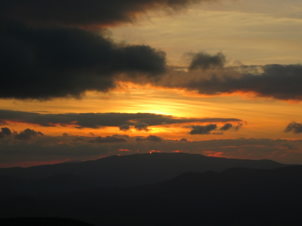
The sunset from Welch Mountain
The Welch-Dickey Loop Trail between the peaks

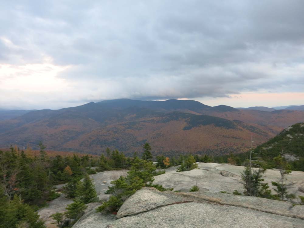
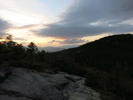
Looking at Sandwich Dome from near the Dickey Mountain summit
Directions to trailhead: Take Route 49 to Six Mile Bridge - take a left there and go up the hill. Take a right onto Orris Road. National Forest pay parking lot will be on the right after a short drive.
Back to Welch Mountain Profile
Back to Dickey Mountain Profile
|