Home
States
Colorado
Connecticut
Maine
Massachusetts
New Hampshire
New York
Rhode Island
Utah
Vermont
View All
Lists
NE 4,000 Footers
NE 100 Highest
NH 4,000 Footers
NH 100 Highest
NH 52 With A View
NH Belknap Range
NH Ossipee 10
Links
Trail Conditions
Trip Log
Sunrises
Sunsets
About
|
Welch Mountain, Dickey Mountain
Thornton, NH, Waterville Valley, NH
Trailheads, measurements, times, distances, and maps are all approximate and relative to the hike(s) as shown below.
The Welch-Dickey Loop Trail on the way to Welch Mountain
Route: Welch-Dickey Loop Trail, (Welch Mountain), Welch-Dickey Loop Trail, (Dickey Mountain), Welch-Dickey Loop Trail
Snow generally did not set up last night, so the loop was very soft this morning. Even with snowshoes on, I was sinking in a few inches. Trail is not yet postholed, but bareboot traffic today could make it a mess. Some exposed ledge up high, but only very short stretches of it (so snowshoes weren't an issue). A lot of the scrambles are moderately filled in with snow, making for relatively easy passage. The second large ledge below Dickey on the Dickey side of the loop is covered in a sheet of ice, but there is a narrow shelf of snow at the top of it (those with issues with heights probably won't appreciate it).
Overall, snowpack is probably 2 to 3 feet of soft spring snow.
| Hike Ratings |
|
Getting To Trailhead: |
Easy |
| Destination: |
Welch Mountain |
|
Length: |
Moderate |
|
Steepness: |
Difficult |
|
Navigation: |
Easy |
|
Views: |
Excellent |
|
Crowds: |
Heavy |
| Destination: |
Dickey Mountain |
|
Length: |
Moderate |
|
Steepness: |
Difficult |
|
Navigation: |
Easy |
|
Views: |
Excellent |
|
Crowds: |
Heavy |
|
| Hike Stats |
|
Date Hiked: |
Wednesday, March 11, 2015 |
| Parking Elevation: |
1,080' |
| Destination: |
Welch Mountain |
| Time Elapsed: |
00:49 |
| Trailhead Elevation: |
1,090' |
| Summit Elevation: |
2,605' |
| Distance: |
2 miles |
| Vertical Gain: |
1,545' |
| Destination: |
Dickey Mountain |
| Time Elapsed: |
00:23 |
| Trailhead Elevation: |
2,600' |
| Summit Elevation: |
2,734' |
| Distance: |
.5 mile |
| Vertical Gain: |
314' |
|
|
| Hike Time Elapsed: |
01:53 |
| Hike Distance: |
4.5 miles |
| Hike Vertical Gain: |
1,899' |
|

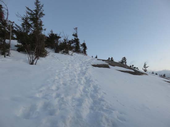
The Welch-Dickey Loop Trail trailhead
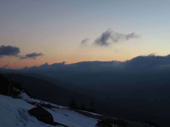
Looking toward Waterville from Welch Mountain
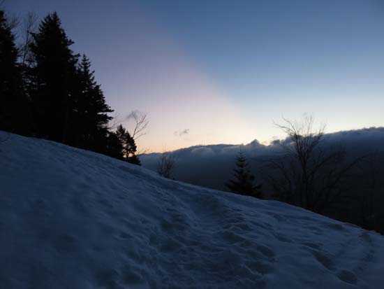
The Welch-Dickey Loop Trail between the peaks
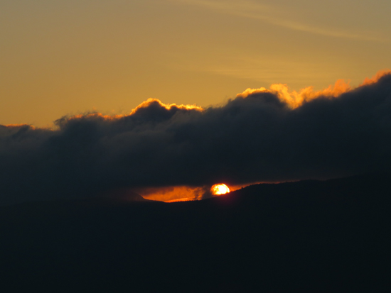
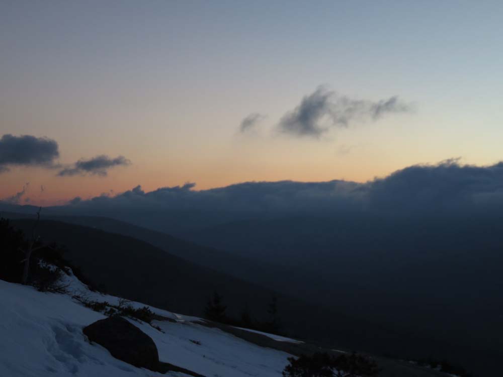
The sunrise from near the Dickey Mountain summit
Directions to trailhead: Take Route 49 to Six Mile Bridge - take a left there and go up the hill. Take a right onto Orris Road. National Forest pay parking lot will be on the right after a short drive.
Back to Welch Mountain Profile
Back to Dickey Mountain Profile
|