Home
States
Colorado
Connecticut
Maine
Massachusetts
New Hampshire
New York
Rhode Island
Utah
Vermont
View All
Lists
NE 4,000 Footers
NE 100 Highest
NH 4,000 Footers
NH 100 Highest
NH 52 With A View
NH Belknap Range
NH Ossipee 10
Links
Trail Conditions
Trip Log
Sunrises
Sunsets
About
|
West Rattlesnake
Holderness, NH
Trailheads, measurements, times, distances, and maps are all approximate and relative to the hike(s) as shown below.
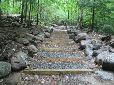
Looking up the Old Bridle Path
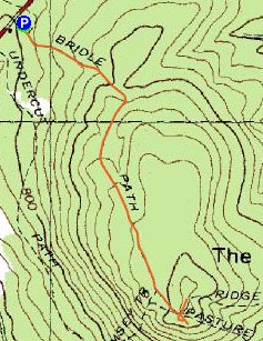
Route: Old Bridle Path
With some rain still lingering in the area, I opted to stay low and take a quick jog up West Rattlesnake. Though wet, the trail was in decent shape. The mosquitoes were out for blood down low, however the ledges up high were bug free.
| Hike Ratings |
|
Getting To Trailhead: |
Easy |
| Destination: |
West Rattlesnake |
|
Length: |
Easy |
|
Steepness: |
Easy |
|
Navigation: |
Easy |
|
Views: |
Excellent |
|
Crowds: |
Minimal |
|
| Hike Stats |
|
Date Hiked: |
Wednesday, May 19, 2010 |
| Hike Commenced: |
4:35 PM |
| Parking Elevation: |
815' |
| Destination: |
West Rattlesnake |
| Ascent Commenced: |
4:35 PM |
| Summit Reached: |
4:46 PM |
| Time Elapsed: |
00:11 |
| Trailhead Elevation: |
815' |
| Summit Elevation: |
1,240' |
| Distance: |
.9 miles |
| Vertical Gain: |
440' |
|
|
| Hike Ended: |
5:04 PM |
| Hike Time Elapsed: |
00:29 |
| Hike Distance: |
1.8 miles |
| Hike Vertical Gain: |
455' |
|
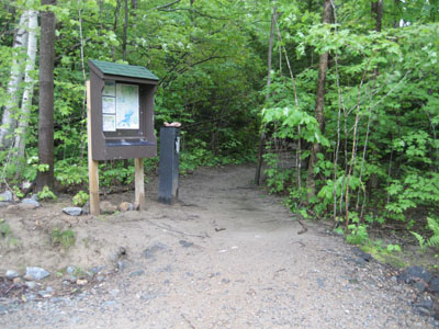
The Old Bridle Path trailhead at the back of the new parking area
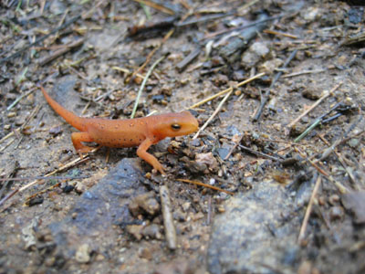
Someone enjoying the wet weather
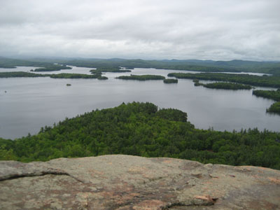
Squam Lake as seen from West Rattlesnake

Directions to trailhead: Take Route 113 West from Center Sandwich. The West Rattlesnake parking lot is on the left at a height of land, across from the Mt. Morgan parking area. The Old Bridle Path trailhead is located at the back of the new parking lot.
Back to West Rattlesnake Profile
|

