Home
States
Colorado
Connecticut
Maine
Massachusetts
New Hampshire
New York
Rhode Island
Utah
Vermont
View All
Lists
NE 4,000 Footers
NE 100 Highest
NH 4,000 Footers
NH 100 Highest
NH 52 With A View
NH Belknap Range
NH Ossipee 10
Links
Trail Conditions
Trip Log
Sunrises
Sunsets
About
|
West Rattlesnake
Holderness, NH
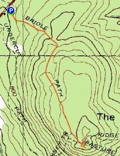
Trailheads, measurements, times, distances, and maps are all approximate and relative to the hike(s) as shown below.
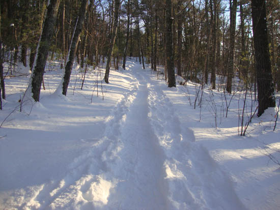
Looking up the Old Bridle Path
Route: Old Bridle Path
After taking a few days off the trails to rest a sore ankle, I headed out for a snowshoe jog on a nice, sunny afternoon.
Though recently hit by a large storm, the region didn't pick up as much snow as nearby areas. Thus, there was still a minimal base on the Old Bridle Path. Having not used running snowshoes for the purpose of running (or more specifically, jogging), it was a bit of a work out. From the near-summit ledges, the views were quite nice.
| Hike Ratings |
|
Getting To Trailhead: |
Easy |
| Destination: |
West Rattlesnake |
|
Length: |
Easy |
|
Steepness: |
Easy |
|
Navigation: |
Easy |
|
Views: |
Excellent |
|
Crowds: |
Minimal |
|
| Hike Stats |
|
Date Hiked: |
Friday, January 14, 2011 |
| Hike Commenced: |
3:24 PM |
| Parking Elevation: |
815' |
| Destination: |
West Rattlesnake |
| Ascent Commenced: |
3:24 PM |
| Summit Reached: |
3:39 PM |
| Time Elapsed: |
00:15 |
| Trailhead Elevation: |
815' |
| Summit Elevation: |
1,240' |
| Distance: |
.9 miles |
| Vertical Gain: |
440' |
|
|
| Hike Ended: |
3:54 PM |
| Hike Time Elapsed: |
00:30 |
| Hike Distance: |
1.8 miles |
| Hike Vertical Gain: |
455' |
|
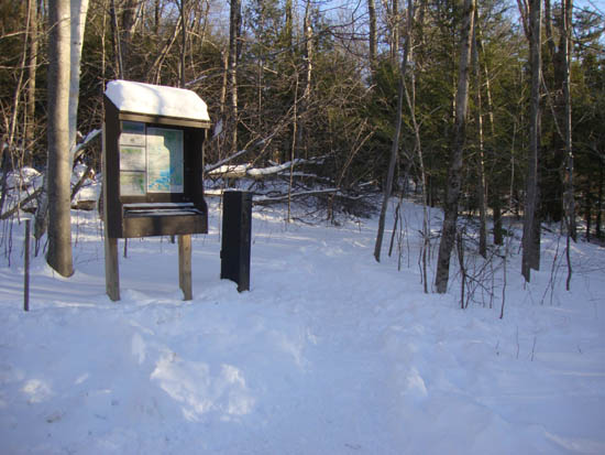
The Old Bridle Path trailhead at the back of the parking area
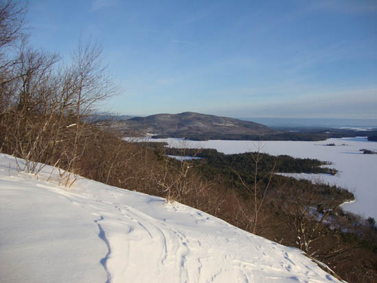
Looking at Red Hill from West Rattlesnake

Directions to trailhead: Take Route 113 West from Center Sandwich. The West Rattlesnake parking lot is on the left at a height of land, across from the Mt. Morgan parking area. The Old Bridle Path trailhead is located at the back of the parking lot.
Back to West Rattlesnake Profile
|

