Home
States
Colorado
Connecticut
Maine
Massachusetts
New Hampshire
New York
Rhode Island
Utah
Vermont
View All
Lists
NE 4,000 Footers
NE 100 Highest
NH 4,000 Footers
NH 100 Highest
NH 52 With A View
NH Belknap Range
NH Ossipee 10
Links
Trail Conditions
Trip Log
Sunrises
Sunsets
About
|
West Rattlesnake
Holderness, NH
Trailheads, measurements, times, distances, and maps are all approximate and relative to the hike(s) as shown below.
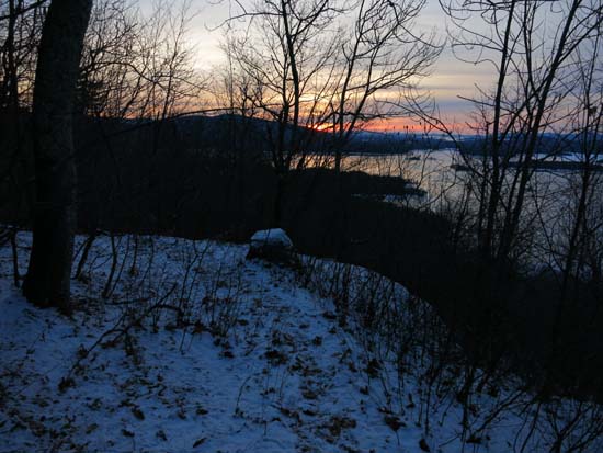
Looking down the Pasture Trail
Route: Pasture Trail
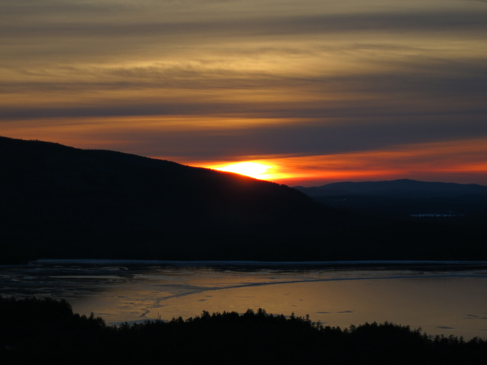
Via this side of West Rattlesnake, there was only a dusting of snow (just enough to make things pretty slippery, but not enough to allow for light traction). I suspect Old Bridle Path probably still has some icy areas, though. Cold sunrise, but unfortunately missed the best colors, which occurred about 25 minutes earlier (sky and lake ice turned red).
| Hike Ratings |
|
Getting To Trailhead: |
Easy |
| Destination: |
West Rattlesnake |
|
Length: |
Easy |
|
Steepness: |
Moderate |
|
Navigation: |
Easy |
|
Views: |
Excellent |
|
Crowds: |
Minimal |
|
| Hike Stats |
|
Date Hiked: |
Saturday, January 3, 2015 |
| Time to Trailhead: |
00:02 |
| Parking Elevation: |
623' |
| Destination: |
West Rattlesnake |
| Time Elapsed: |
00:09 |
| Trailhead Elevation: |
720' |
| Summit Elevation: |
1,240' |
| Vertical Gain: |
530' |
|
|
| Hike Time Elapsed: |
00:41 |
| Hike Vertical Gain: |
637' |
|
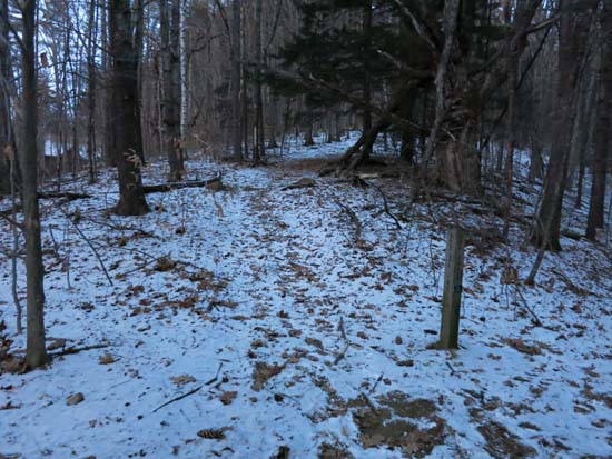
The Pasture Trail trailhead
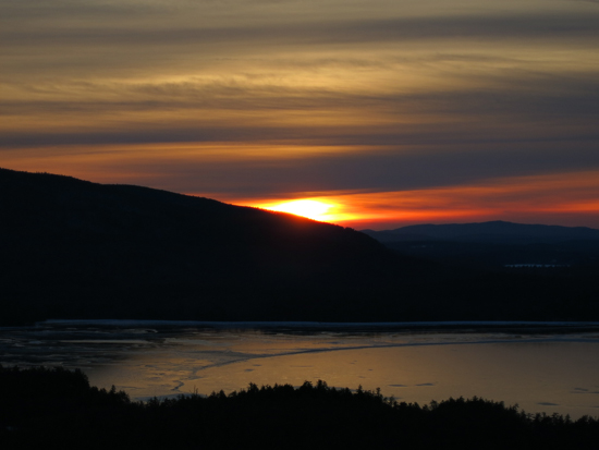
The sunrise from West Rattlesnake
Directions to trailhead: Take Route 113 West from Center Sandwich. Shortly after the Mt. Morgan parking lot, take a left onto Pinehurst Road. Park outside the private property entranceway (don't block the road!), then follow the road up shortly, taking a left, then a right between two cabins. The Col Trail sign will be a minute or two up the path.
Back to West Rattlesnake Profile
|