Home
States
Colorado
Connecticut
Maine
Massachusetts
New Hampshire
New York
Rhode Island
Utah
Vermont
View All
Lists
NE 4,000 Footers
NE 100 Highest
NH 4,000 Footers
NH 100 Highest
NH 52 With A View
NH Belknap Range
NH Ossipee 10
Links
Trail Conditions
Trip Log
Sunrises
Sunsets
About
|
White Horse Ledge
Conway, NH, Hales Location, NH, Bartlett, NH
Trailheads, measurements, times, distances, and maps are all approximate and relative to the hike(s) as shown below.
The Bryce Link
Route: Bryce Link, White Horse Ledge Trail, Red Ridge Link, Bryce Path
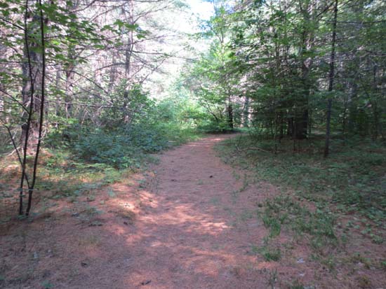
Trails were mostly dry. Confusing as always in the lower elevations, due to many intersecting bike and climbing paths. Some blueberries in bloom in the upper elevations.
| Hike Ratings |
|
Getting To Trailhead: |
Easy |
| Destination: |
White Horse Ledge |
|
Length: |
Moderate |
|
Steepness: |
Moderate |
|
Navigation: |
Moderate |
|
Views: |
Excellent |
|
Crowds: |
Minimal |
|
| Hike Stats |
|
Date Hiked: |
Monday, July 9, 2012 |
| Parking Elevation: |
520' |
| Destination: |
White Horse Ledge |
| Time Elapsed: |
00:57 |
| Trailhead Elevation: |
520' |
| Summit Elevation: |
1,440' |
| Vertical Gain: |
1,500' |
|
|
| Hike Time Elapsed: |
1:36 |
| Hike Vertical Gain: |
1,550' |
|
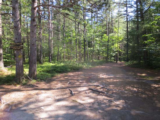
The Bryce Link trailhead
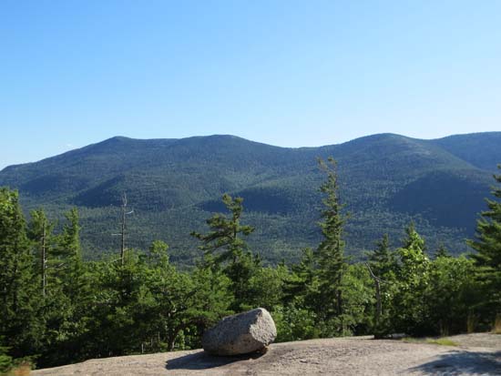
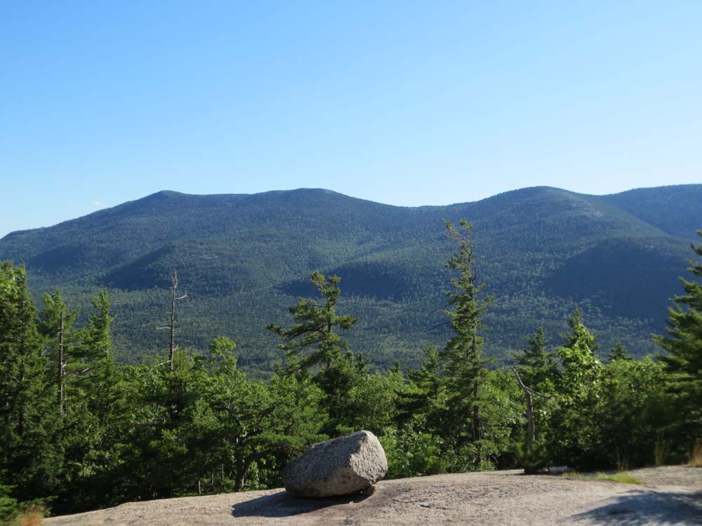
South Moat and Middle Moat as seen from a White Horse Ledge vista
Back to White Horse Ledge Profile
|