Home
States
Colorado
Connecticut
Maine
Massachusetts
New Hampshire
New York
Rhode Island
Utah
Vermont
View All
Lists
NE 4,000 Footers
NE 100 Highest
NH 4,000 Footers
NH 100 Highest
NH 52 With A View
NH Belknap Range
NH Ossipee 10
Links
Trail Conditions
Trip Log
Sunrises
Sunsets
About
|
Whitewall Mountain
Bethlehem, NH, Lincoln, NH
Trailheads, measurements, times, distances, and maps are all approximate and relative to the hike(s) as shown below.
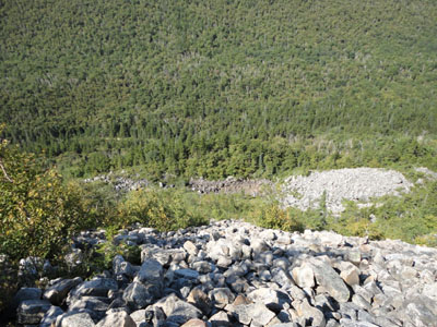
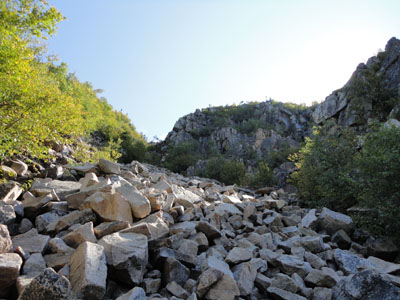
Looking down the slide on the way to Whitewall Mountain
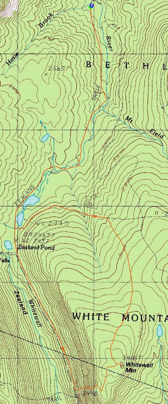
Route: Zealand Trail, Ethan Pond Trail, bushwhack, (Whitewall Mountain), bushwhack, A-Z Trail, Zealand Trail
With a bluebird day forecasted, we headed into Zealand Notch. After a brisk walk along the Zealand and Ethan Pond trails, we were soon looking up the slides of Whitewall Mountain. Upon finding a decent route, we headed up.
The climb up the side of the mountain was steep and a bit dangerous, as massive rocks were loose and easily dislodged. Once we reached a gully, we headed to the right, then wrapped around to the top of the steeps and over to open ledges.
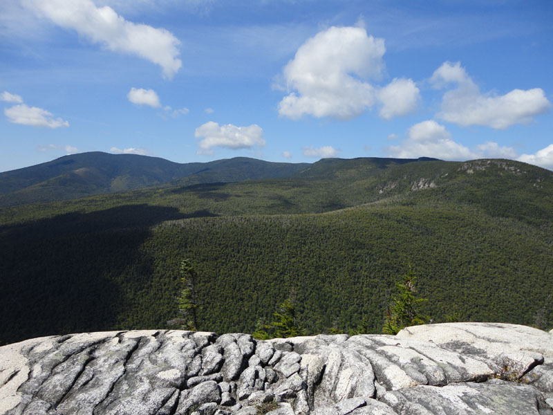
The views from the ledges were superb - striking views in all directions, ranging from the heart of the Pemi to the Willey Range. After a lunch break, we headed into a boggy area, then up to the recognized highpoint, where we had some halfway decent views from some nearby ledges.
From here, we followed some herd paths, then went out exploring, finding some very nice, open hardwood glades. Eventually reaching the lower portion of the A-Z Trail, we soon worked our way to the Zealand Trail and back out.
| Hike Ratings |
|
Getting To Trailhead: |
Easy |
| Destination: |
Whitewall Mountain |
|
Length: |
Moderate |
|
Steepness: |
Very Difficult |
|
Navigation: |
Difficult |
|
Views: |
Excellent |
|
Crowds: |
Minimal |
|
| Hike Stats |
|
Date Hiked: |
Saturday, August 28, 2010 |
| Hike Commenced: |
8:33 AM |
| Parking Elevation: |
2,000' |
| Destination: |
Whitewall Mountain |
| Ascent Commenced: |
8:33 AM |
| Summit Reached: |
12:24 PM |
| Time Elapsed: |
03:51 |
| Trailhead Elevation: |
2,000' |
| Summit Elevation: |
3,405' |
| Vertical Gain: |
1,495' |
|
|
| Hike Ended: |
3:24 PM |
| Hike Time Elapsed: |
06:51 |
| Hike Vertical Gain: |
1,585' |
|
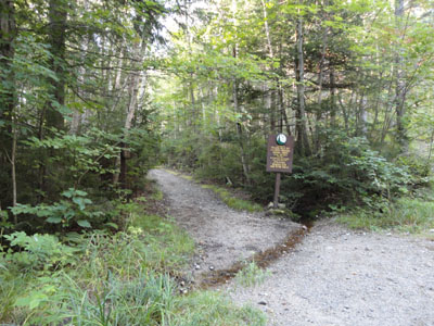
The Zealand Trail trailhead
Looking up the slide on the way to Whitewall Mountain

Mt. Bond and Zealand Mountain as seen from the Whitewall ledges
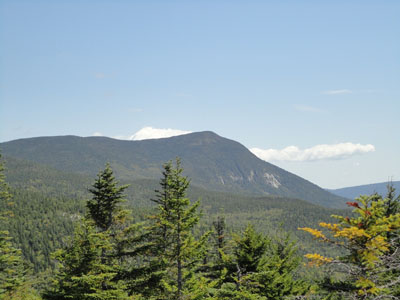
Mt. Willey as seen from near the summit of Whitewall Mountain
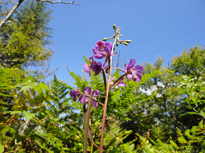
Wildflowers in the glades near the A-Z Trail
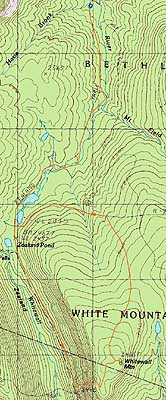

Directions to trailhead: Take US 302 west from Bartlett past Bretton Woods Ski Area. A few minutes after, take a left onto Zealand Road. The Zealand WMNF fee parking area and Zealand Trail trailhead are located at the end of the road.
Back to Whitewall Mountain Profile
|