Home
States
Colorado
Connecticut
Maine
Massachusetts
New Hampshire
New York
Rhode Island
Utah
Vermont
View All
Lists
NE 4,000 Footers
NE 100 Highest
NH 4,000 Footers
NH 100 Highest
NH 52 With A View
NH Belknap Range
NH Ossipee 10
Links
Trail Conditions
Trip Log
Sunrises
Sunsets
About
|
Zealand Mountain
Bethlehem, NH, Livermore, NH
Trailheads, measurements, times, distances, and maps are all approximate and relative to the hike(s) as shown below.
Looking down the Twinway
Route: Zealand Trail, Twinway, Zealand Spur, (Zealand Mountain), Zealand Spur, Twinway, Zeacliff Pond Spur, (Zeacliff Pond), Zeacliff Pond Spur, Twinway, Zealand Trail
While the forecast was calling for a terrible day, the morning radar image showed a different story. Thus, I grabbed my light backpack and headed to the Zealand Trail.
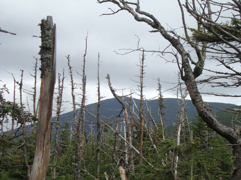
I jogged the smooth flats and soon found myself under partly sunny skies. After a quick stop at the falls, I continued up the Twinway, where the sun was drying the trail out nicely. Eventually reaching the summit of Zealand, I had views through the trees of Mt. Bond and Guyot. The Twins, on the other hand, were in the fog.
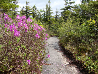
Having never visited it before, I opted to take a side trip to Zeacliff Pond. The descent wasn't too steep - the sight of the pond below the cliffs of a crag Zealand (not to be confused with Zeacliff) was pretty neat.
After a stop for a snack at the hut, I headed down the Zealand Trail, once again jogging the smooth portions, arriving back at the parking lot without contending with any of the forecasted all day rain.
| Hike Ratings |
|
Getting To Trailhead: |
Easy |
| Destination: |
Zealand Mountain |
|
Length: |
Moderate |
|
Steepness: |
Difficult |
|
Navigation: |
Easy |
|
Views: |
Minimal |
|
Crowds: |
Minimal |
|
| Hike Stats |
|
Date Hiked: |
Saturday, June 5, 2010 |
| Hike Commenced: |
9:47 AM |
| Parking Elevation: |
2,000' |
| Destination: |
Zealand Mountain |
| Ascent Commenced: |
9:47 AM |
| Summit Reached: |
11:44 AM |
| Time Elapsed: |
01:57 |
| Trailhead Elevation: |
2,000' |
| Summit Elevation: |
4,260' |
| Distance: |
5.7 miles |
| Vertical Gain: |
2,490' |
|
|
| Hike Ended: |
1:46 PM |
| Hike Time Elapsed: |
03:59 |
| Hike Distance: |
11.6 miles |
| Hike Vertical Gain: |
2,840' |
|
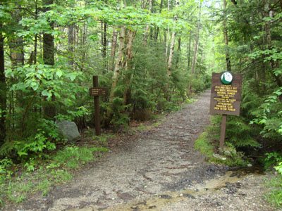
The Zealand Trail trailhead

Mt. Bond as seen from near the summit of Zealand Mountain
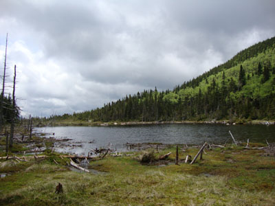
Zeacliff Pond
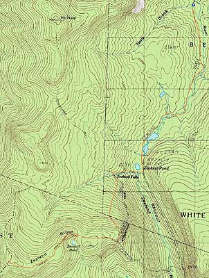

Directions to trailhead: Take US 302 west from Bartlett past Bretton Woods Ski Area. A few minutes after, take a left onto Zealand Road. The Zealand WMNF fee parking area and Zealand Trail trailhead are located at the end of the road.
Back to Zealand Mountain Profile
|