Home
States
Colorado
Connecticut
Maine
Massachusetts
New Hampshire
New York
Rhode Island
Utah
Vermont
View All
Lists
NE 4,000 Footers
NE 100 Highest
NH 4,000 Footers
NH 100 Highest
NH 52 With A View
NH Belknap Range
NH Ossipee 10
Links
Trail Conditions
Trip Log
Sunrises
Sunsets
About
|
Zealand Mountain, Mt. Guyot
Bethlehem, NH, Livermore, NH, Lincoln, NH
Trailheads, measurements, times, distances, and maps are all approximate and relative to the hike(s) as shown below.
The Twinway
Route: Zealand Trail, Twinway, spur trail, (Zealand Mountain), spur trail, Twinway, (Mt. Guyot), Twinway, Bondcliff Trail, Guyot Shelter Spur, Bondcliff Trail, Twinway, (Mt. Guyot), Twinway, Zealand Trail
Took advantage of a rare December Zealand Road opening.
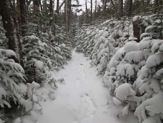
Zealand Trail was generally packed powder, 1-2" deep. Contrary to the AMC backcountry reports, there is nowhere near 9" of snow at the Zealand Hut - more like 3".
Trail not as well packed out beyond hut. Some black ice lurking underneat the snow. Deepest drifts between hut and Zealand Mountain were generally 6" deep.
Little traffic beyond Zealand Mountain. I was the first set of tracks (followed later by two folks). Like Zealand Ridge, generally 2-3" deep. Around treeline, however, there were drifts up to 3 feet deep, but they were short lived, and followed in places by bare rock. Generally slow going due to the shoulder season snowpack.
Went all this way to do the Guyot Shelter Spur. Some interesting views through the trees, but otherwise sort of a long way to go for stupid redlining purposes. Perhaps I should be calling me stupid, not the redlining. But I digress.
I carried Microspikes and snowshoes the whole day without so much as considering using them. Others used Microspikes most of the day without issue. Trails were way too boney today to just snowshoes, however, it snowed throughout the day and into the night, so who knows.
Windy in places along the Zealand Ridge, but surprisingly not bad on Guyot.
| Hike Ratings |
|
Getting To Trailhead: |
Easy |
| Destination: |
Zealand Mountain |
|
Length: |
Moderate |
|
Steepness: |
Difficult |
|
Navigation: |
Easy |
|
Views: |
Minimal |
|
Crowds: |
Minimal |
| Destination: |
Mt. Guyot |
|
Length: |
Difficult |
|
Steepness: |
Difficult |
|
Navigation: |
Moderate |
|
Views: |
Minimal (due to weather) |
|
Crowds: |
Minimal |
|
| Hike Stats |
|
Date Hiked: |
Saturday, December 1, 2012 |
| Parking Elevation: |
2,000' |
| Destination: |
Zealand Mountain |
| Time Elapsed: |
03:33 |
| Trailhead Elevation: |
2,000' |
| Summit Elevation: |
4,260' |
| Distance: |
5.7 miles |
| Vertical Gain: |
2,490' |
| Destination: |
Mt. Guyot |
| Time Elapsed: |
00:54 |
| Trailhead Elevation: |
4,260' |
| Summit Elevation: |
4,580' |
| Distance: |
1.4 miles |
| Vertical Gain: |
640' |
|
|
| Hike Time Elapsed: |
08:31 |
| Hike Vertical Gain: |
4,220' |
|
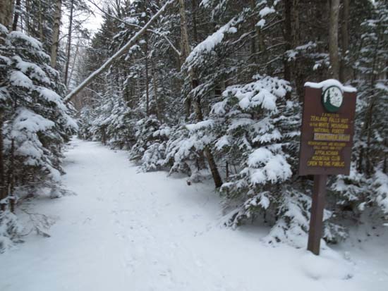
The Zealand Trail trailhead at the end of Zealand Road
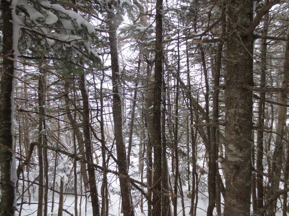
Not much to see from Zealand Mountain today
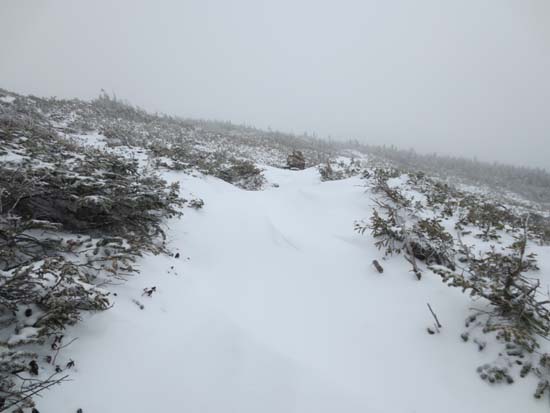
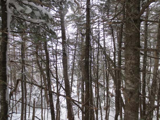
Drifts near Guyot
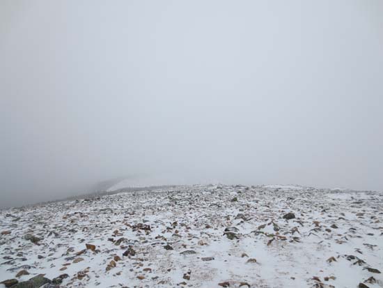
Fog as seen from Mt. Guyot
Directions to trailhead: Take US 302 west from Bartlett past Bretton Woods Ski Area. A few minutes after, take a left onto Zealand Road. The Zealand WMNF fee parking area and Zealand Trail trailhead are located at the end of the road. The summer parking lot generally closes in November, but was open on December 1 in 2012.
Back to Zealand Mountain Profile
Back to Mt. Guyot Profile
|