Home
States
Colorado
Connecticut
Maine
Massachusetts
New Hampshire
New York
Rhode Island
Utah
Vermont
View All
Lists
NE 4,000 Footers
NE 100 Highest
NH 4,000 Footers
NH 100 Highest
NH 52 With A View
NH Belknap Range
NH Ossipee 10
Links
Trail Conditions
Trip Log
Sunrises
Sunsets
About
|
Cascade Mountain, Porter Mountain
North Elba, NY, Keene, NY
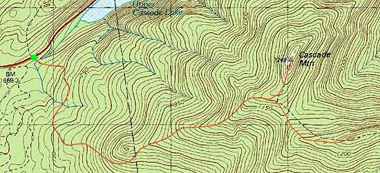
Trailheads, measurements, times, distances, and maps are all approximate and relative to the hike(s) as shown below.
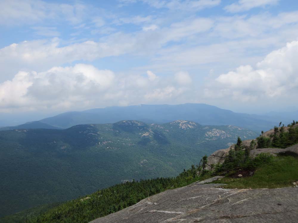
The ledges near the top of Cascade Mountain
Route: Cascade Mountain Trail, (Cascade Mountain Mountain), Cascade Mountain Trail, Porter Mountain Trail, (Porter Mountain), Porter Mountain Trail, Cascade Mountain Trail
My first venture in the Adirondacks, I opted for a shorter hike due to time constraints, as well as two sore ankles.
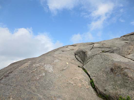
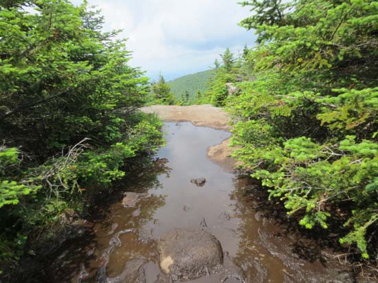
From the get go, the trail was very muddy, due in part to the recent weeks of rain. The trail was generally pretty tame, though rugged in places.
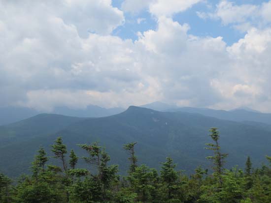
Above treeline, there was a quasi scramble and lots of nice ledge walking. Though hazy, the views from Cascade were nonetheless quite nice.
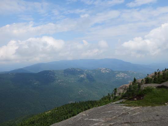
After descending to the trail junction, I headed across the muddy ridge to Porter, which didn't have anything marking its highpoint. There were decent directional views from the summit ledge, as well as a few other ledge views prior.
| Hike Ratings |
|
Getting To Trailhead: |
Easy |
| Destination: |
Cascade Mountain |
|
Length: |
Moderate |
|
Steepness: |
Difficult |
|
Navigation: |
Easy |
|
Views: |
Excellent |
|
Crowds: |
Heavy |
| Destination: |
Porter Mountain |
|
Length: |
Moderate |
|
Steepness: |
Difficult |
|
Navigation: |
Easy |
|
Views: |
Excellent |
|
Crowds: |
Heavy |
|
| Hike Stats |
|
Date Hiked: |
Thursday, July 4, 2013 |
| Parking Elevation: |
2,200' |
| Destination: |
Cascade Mountain |
| Time Elapsed: |
01:10 |
| Trailhead Elevation: |
2,180' |
| Summit Elevation: |
4,098' |
| Distance: |
2.5 miles |
| Vertical Gain: |
1,918' |
| Destination: |
Porter Mountain |
| Time Elapsed: |
00:29 |
| Trailhead Elevation: |
4,098' |
| Summit Elevation: |
4,059' |
| Distance: |
1 mile |
| Vertical Gain: |
269' |
|
|
| Hike Time Elapsed: |
03:44 |
| Hike Distance: |
6.4 miles |
| Hike Vertical Gain: |
2,427' |
|
The Cascade Mountain Trail trailhead off Route 73
Looking north at Pitchoff Mountain from Cascade Mountain
The Porter Mountain Trail
Looking at Big Slide Mountain from Porter Mountain

Directions to trailhead: Take Route 73 west from Keene, toward Lake Placid. The Cascade Mountain Trail will be on the left, shortly after passing the Cascade Lakes. There are small roadside lots at the trailhead and as one approaches the height of land.
Back to Cascade Mountain Profile
Back to Porter Mountain Profile
|