Home
States
Colorado
Connecticut
Maine
Massachusetts
New Hampshire
New York
Rhode Island
Utah
Vermont
View All
Lists
NE 4,000 Footers
NE 100 Highest
NH 4,000 Footers
NH 100 Highest
NH 52 With A View
NH Belknap Range
NH Ossipee 10
Links
Trail Conditions
Trip Log
Sunrises
Sunsets
About
|
Utsayantha Mountain
Stamford, NY
Trailheads, measurements, times, distances, and maps are all approximate and relative to the hike(s) as shown below.
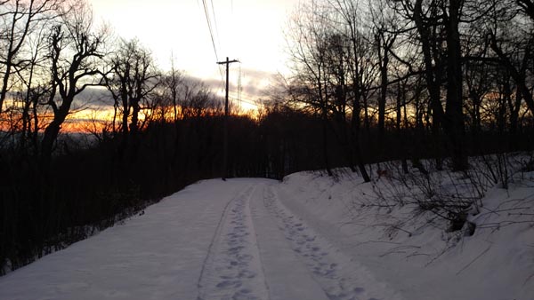
Looking down the access road
Route: Access road
Cold morning for a sunrise. The access road had generally minimal snow on it, but did have some ice.
| Hike Ratings |
|
Getting To Trailhead: |
Easy |
| Destination: |
Utsayantha Mountain |
|
Length: |
Easy |
|
Steepness: |
Easy |
|
Navigation: |
Easy |
|
Views: |
Excellent |
|
Crowds: |
Minimal |
|
| Hike Stats |
|
Date Hiked: |
Tuesday, February 13, 2018 |
| Parking Elevation: |
2,520' |
| Destination: |
Utsayantha Mountain |
| Time Elapsed: |
00:17 |
| Trailhead Elevation: |
2,520' |
| Summit Elevation: |
3,214' |
| Distance: |
1.1 miles |
| Vertical Gain: |
714' |
|
|
| Hike Time Elapsed: |
00:39 |
| Hike Distance: |
2.2 miles |
| Hike Vertical Gain: |
714' |
|
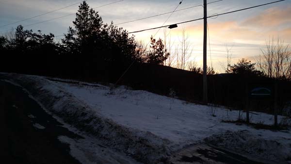
The bottom of Tower Road

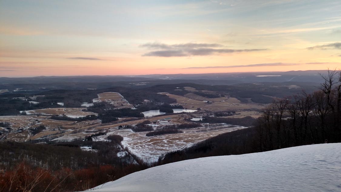
Looking northeast from near the summit of Utsayantha Mountain
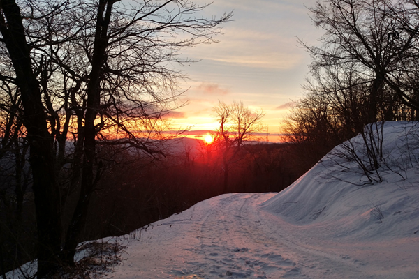
The sunrise on Utsayantha Mountain
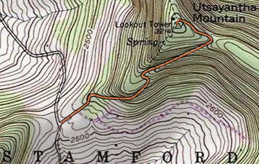

Directions to trailhead: From Route 23 in Stamford, take Mountain Avenue, which becomes Tower Mountain Road. In winter, there may be room to park near the height of land, near the plowed start of Tower Road.
Back to Utsayantha Mountain Profile
|