Home
States
Colorado
Connecticut
Maine
Massachusetts
New Hampshire
New York
Rhode Island
Utah
Vermont
View All
Lists
NE 4,000 Footers
NE 100 Highest
NH 4,000 Footers
NH 100 Highest
NH 52 With A View
NH Belknap Range
NH Ossipee 10
Links
Trail Conditions
Trip Log
Sunrises
Sunsets
About
|
Deseret Peak
Tooele County, UT
Trailheads, measurements, times, distances, and maps are all approximate and relative to the hike(s) as shown below.
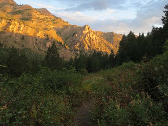
The lower Mill Fork Trail at sunrise
Route: Mill Fork Trail
Not wanting to get caught in the forecasted thunderstorms, I opted for pre-sunrise start. Starting at the Loop Campground, the trail was tame with decent footing. After walking through the woods for awhile, the trail soon emerged in a series of open meadows. Eventually reaching a headwall, I could smell the smoke from the recent forest fire on the other side of the ridge.
Though steady, the climb up to the saddle was fairly tame with switchbacks with good footing. After ducking into the trees to avoid a brief rain shower, I headed up the ridge on tame trail with views galore. Reaching the summit, I could see some remaining smoke rising from the nearby burned areas. Though the visibility wasn’t perfect, there were still excellent views in all directions.
Once again, a pre-sunrise start time helped me to avoid getting caught in afternoon thunderstorms.
| Hike Ratings |
|
Getting To Trailhead: |
Easy |
| Destination: |
Deseret Peak |
|
Length: |
Moderate |
|
Steepness: |
Moderate |
|
Navigation: |
Easy |
|
Views: |
Excellent |
|
Crowds: |
Moderate |
|
| Hike Stats |
|
Date Hiked: |
Saturday, August 24, 2013 |
| Parking Elevation: |
7,415' |
| Destination: |
Deseret Peak |
| Time Elapsed: |
02:15 |
| Trailhead Elevation: |
7,418' |
| Summit Elevation: |
11,031' |
| Distance: |
4.4 miles |
| Vertical Gain: |
3,653' |
|
|
| Hike Time Elapsed: |
04:27 |
| Hike Distance: |
8.8 miles |
| Hike Vertical Gain: |
3,693' |
|
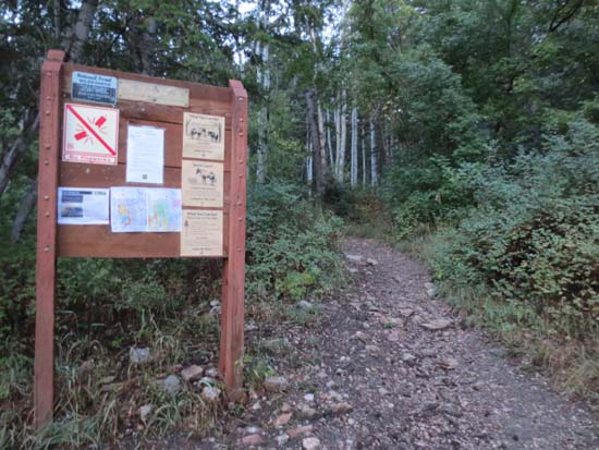
The Mill Fork Trail trailhead
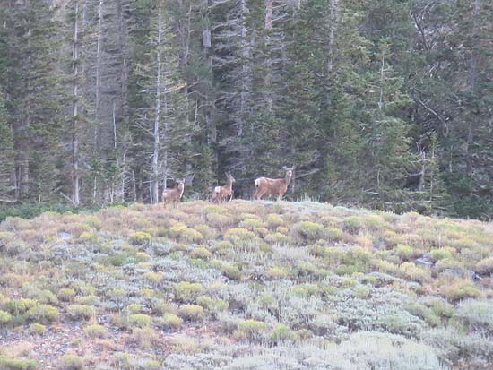
The natives
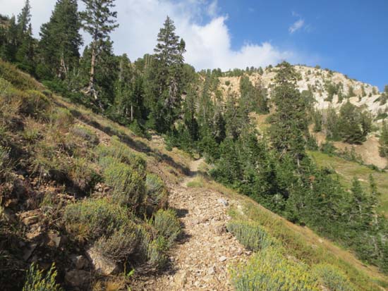
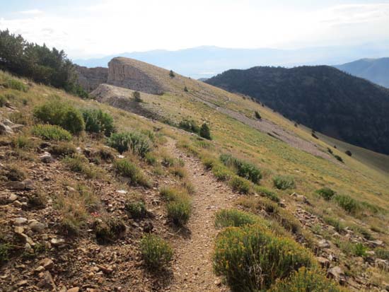
The Mill Fork Trail prior to reaching the ridge
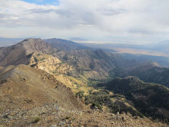
Looking east along the ridge
Looking north from Deseret Peak
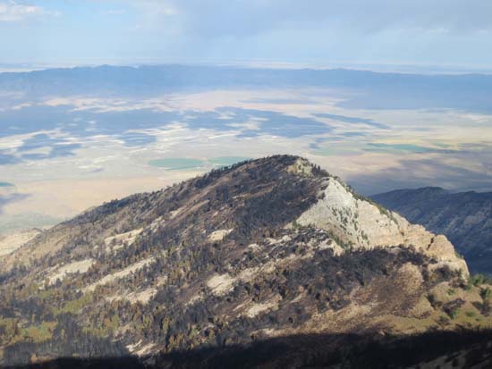
Recent forest fire damage on the west side of the ridge
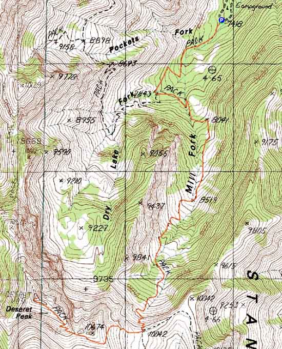

Directions to trailhead: From Route 138 westbound in Grantsville, take a left onto Mormon Trail. Head south out of town on this road, then take a right onto South Willow Road (aka South Willow Canyon Road). Take this road all the way to its highest point, adjacent to the Loop Campground. There is hiker parking at the height of land. The Mill Fork Trail trailhead is located adjacent to the restroom.
Back to Deseret Peak Profile
|


