Home
States
Colorado
Connecticut
Maine
Massachusetts
New Hampshire
New York
Rhode Island
Utah
Vermont
View All
Lists
NE 4,000 Footers
NE 100 Highest
NH 4,000 Footers
NH 100 Highest
NH 52 With A View
NH Belknap Range
NH Ossipee 10
Links
Trail Conditions
Trip Log
Sunrises
Sunsets
About
|
Mt. Aire
Salt Lake County, UT
Trailheads, measurements, times, distances, and maps are all approximate and relative to the hike(s) as shown below.
The Mt. Aire Trail
Route: Mt. Aire Trail
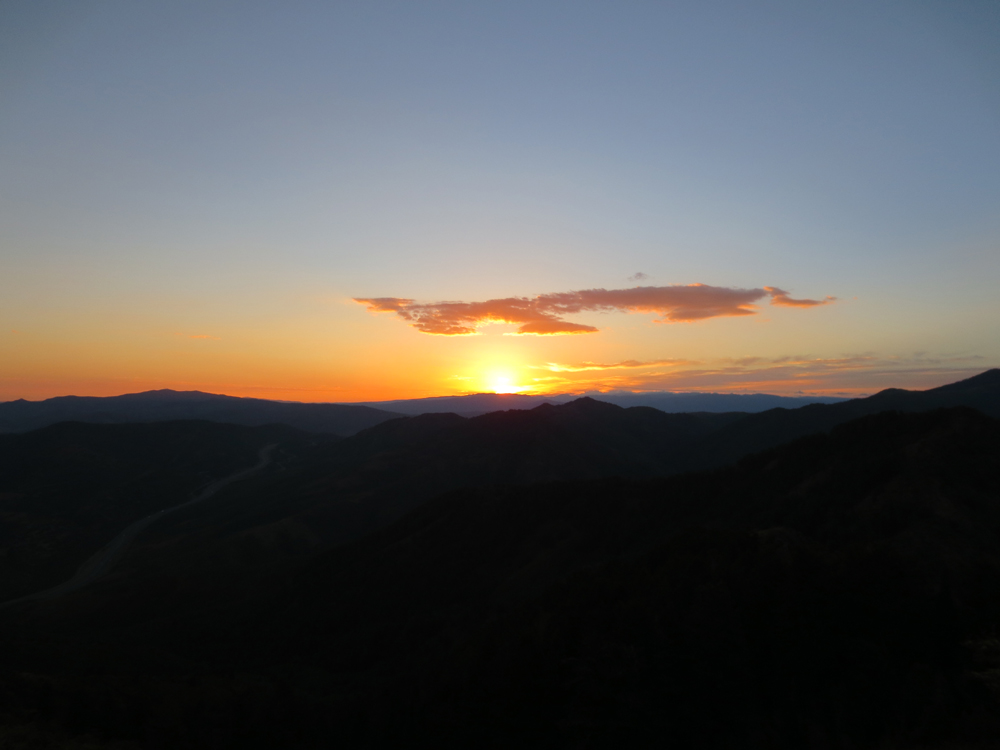
With yet another forecast of clouds and afternoon thunderstorms, I opted for a pre-sunrise start time. With the exception of one area (an unsigned junction where the trail turned left and an old trail with a rock staircase turned right), it was fairly straightforward hiking on unfamiliar terrain with a headlamp. Reaching the saddle, the pre-dawn light was nicely illuminating the area.
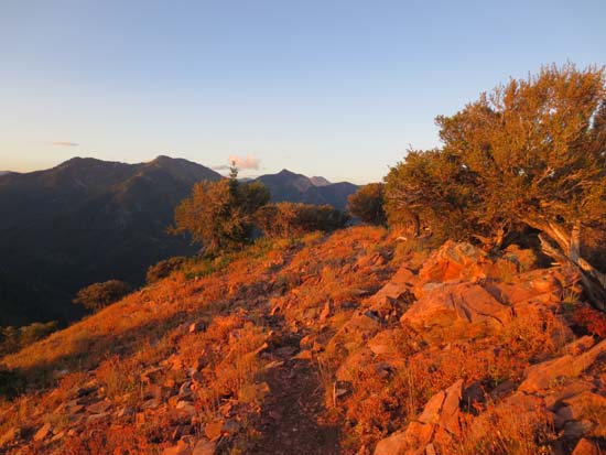
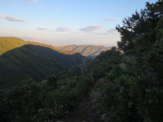
Though a steady climb up to the saddle, the trail was fairly tame with no scrambles to note. The sparsely wooded summit provided views in just about all directions, especially of the eastern horizon (making for great sunrise viewing).
| Hike Ratings |
|
Getting To Trailhead: |
Easy |
| Destination: |
Mt. Aire |
|
Length: |
Moderate |
|
Steepness: |
Difficult |
|
Navigation: |
Easy |
|
Views: |
Excellent |
|
Crowds: |
Minimal |
|
| Hike Stats |
|
Date Hiked: |
Sunday, August 25, 2013 |
| Parking Elevation: |
6,620' |
| Destination: |
Mt. Aire |
| Time Elapsed: |
02:24 |
| Trailhead Elevation: |
6,620' |
| Summit Elevation: |
8,621' |
| Distance: |
2 miles |
| Vertical Gain: |
2,011' |
|
|
| Hike Time Elapsed: |
05:05 |
| Hike Vertical Gain: |
2,021' |
|
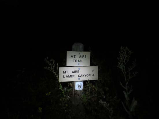
The Mt. Aire Trail trailhead
The Mt. Aire Trail
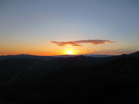
Sunrise on Mt. Aire
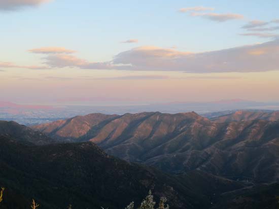
Looking northwest from Mt. Aire
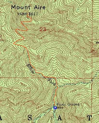

Directions to trailhead: From Belt Route I-215, take exit 4 to Mill Creek Canyon Road. The Mt. Aire Trail trailhead will eventually be on the left (at a sharp right turn in the road). There is limited room to park roadside. A cash toll may be imposed upon leaving Mill Creek Canyon.
Back to Mt. Aire Profile
|